Near Robert Lee in Coke County, Texas — The American South (West South Central)
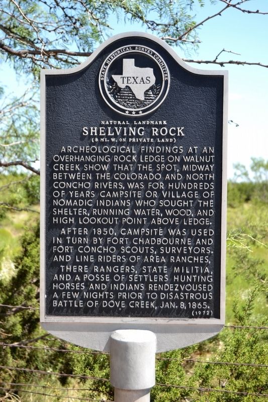
Natural Landmark Shelving Rock
(8 mi. W. on Private Land)
After 1850, campsite was used in turn by Fort Chadbourne and Fort Concho scouts, surveyors, and line riders of area ranches.
There Rangers, state militia, and a posse of settlers hunting horses and Indians rendezvoused a few nights prior to disastrous Battle of Dove Creek, Jan. 8, 1865.
Erected 1972 by State Historical Survey Committee. (Marker Number 4671.)
Topics. This historical marker is listed in these topic lists: Native Americans • Wars, US Indian.
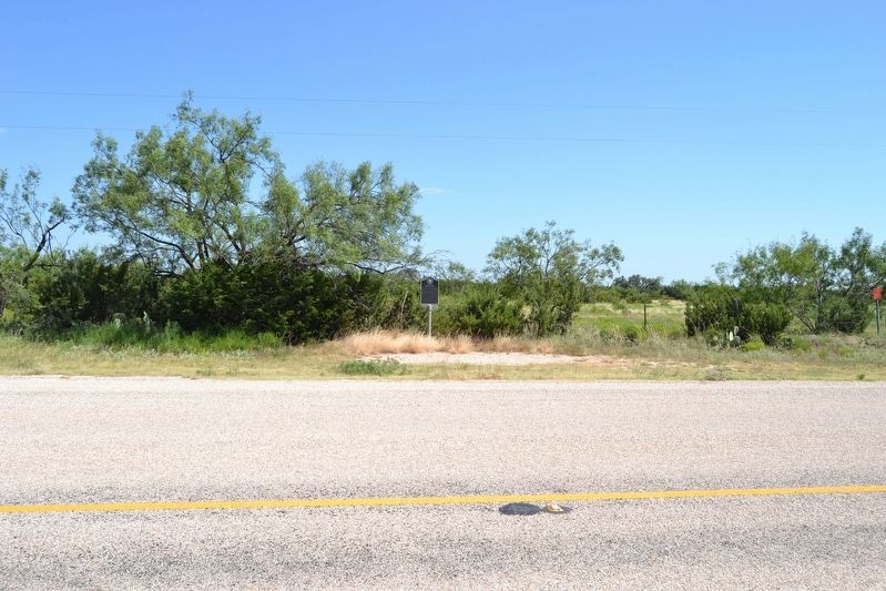
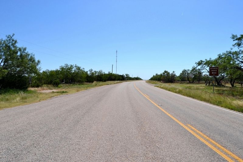
Location. 31° 48.377′ N, 100° 40.71′ W. Marker is near Robert Lee, Texas, in Coke County. Marker is at the intersection of Farm to Market Road 2034 and Walnut Road, on the right when traveling west on Road 2034. Touch for map. Marker is in this post office area: Robert Lee TX 76945, United States of America. Touch for directions.
Other nearby markers. At least 8 other markers are within 13 miles of this marker, measured as the crow flies. Divide Cemetery (approx. 1.1 miles away); Edith (approx. 7.8 miles away); World War I Peace Monument (approx. 9.8 miles away); Silver (approx. 12.7 miles away); Coke County Jail (approx. 12.7 miles away); County Named for Texas Confederate Richard Coke (approx. 12.8 miles away); Hayrick Lodge 696, A.F.&A.M. (approx. 12.8 miles away); Fence-Cutting War (approx. 12.8 miles away). Touch for a list and map of all markers in Robert Lee.
Credits. This page was last revised on November 2, 2020. It was originally submitted on July 17, 2016, by Duane Hall of Abilene, Texas. This page has been viewed 634 times since then and 41 times this year. Photos: 1, 2, 3. submitted on July 17, 2016, by Duane Hall of Abilene, Texas.


