Montebello in Baltimore, Maryland — The American Northeast (Mid-Atlantic)
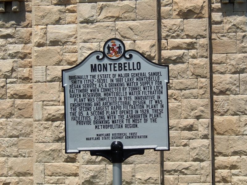
Montebello
Erected by Maryland Historical Trust, Maryland State Highway Administration.
Topics and series. This historical marker is listed in these topic lists: Charity & Public Work • Science & Medicine. In addition, it is included in the Maryland Historical Trust series list. A significant historical year for this entry is 1881.
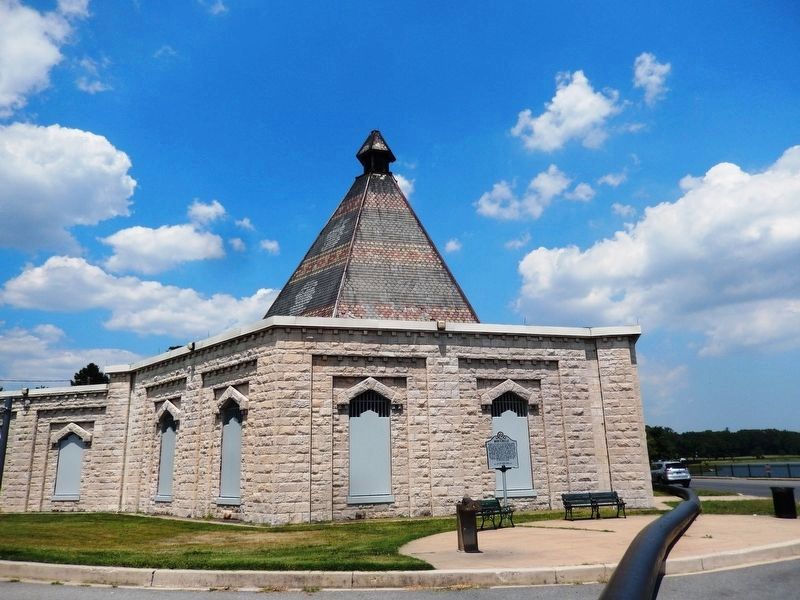
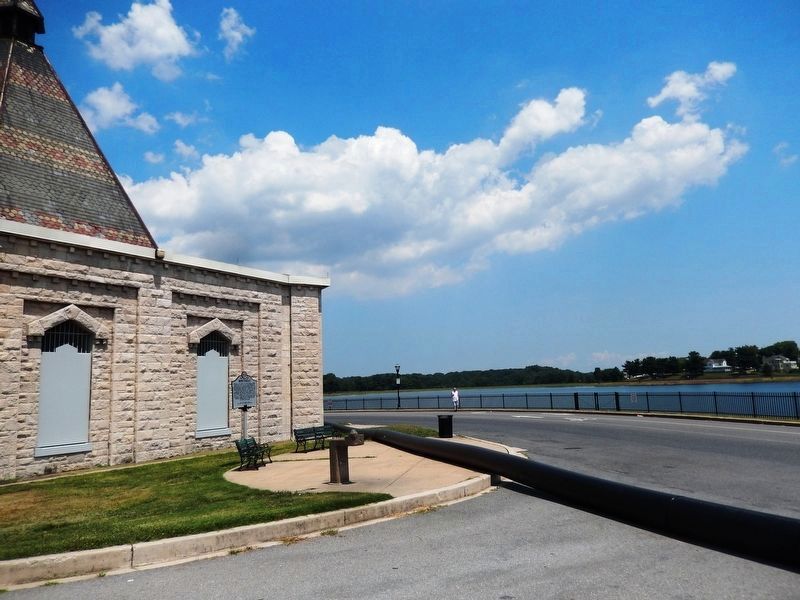
Location. 39° 19.922′ N, 76° 35.223′ W. Marker is in Baltimore, Maryland. It is in Montebello. Marker is on Whitman Drive. The marker is located at the Gate House of Lake Montebello. Touch for map. Marker is in this post office area: Baltimore MD 21218, United States of America. Touch for directions.
Other nearby markers. At least 8 other markers are within walking distance of this marker. Neil Abraham's Gateway Garden (approx. 0.4 miles away); Columbus Obelisk (approx. ¾ mile away); Mounted Messengers (approx. ¾ mile away); The Samuel and Anne Hopkins Grand Staircase and Tower Restoration, Clifton Mansion (approx. ¾ mile away); Cal Ripken, Sr. (approx. 0.8 miles away); Memorial Field at the Y (approx. 0.8 miles away); Eastern High School Monument (approx. 0.8 miles away); Earl Carey Banks (approx. 0.8 miles away). Touch for a list and map of all markers in Baltimore.
Credits. This page was last revised on February 16, 2021. It was originally submitted on July 22, 2016, by Don Morfe of Baltimore, Maryland. This page has been viewed 752 times since then and 48 times this year. Photos: 1, 2, 3. submitted on July 22, 2016, by Don Morfe of Baltimore, Maryland. • Bill Pfingsten was the editor who published this page.


