Seneca Mill
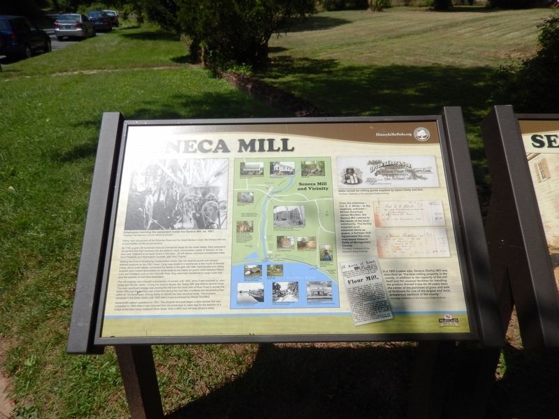
By 1725, a grist mill functioned here as a commercial staple for the small village. Early proprietors recognized that their business had the ability to reach communities outside of Seneca, for the town was “believed to be equal of any in the state…(it) will always command considerable trade from Frederick and Washington Counties, also from Virginia.”
Making the most of developing transportation routes, the mill received goods and shipped finished products on the C&O Canal. Cargo was stored in a warehouse at the mouth of Seneca Creek, and a small railway connected the facility to the grist mill. After merchandise and milling supplies were moved downstream on small boats to the intake (or guard) locks between Riley’s Lock and Violette’s Lock on the Potomac River, they were then transferred to cargo boats that took the supplies to their final destination.
The mill property went through a succession of owners until 1855, when it was acquired by John Darby and his son, Upton. During the Darby’s tenure, the “Darby Mill” was altered several times. The most significant change was moving the mill from the north side of River Road to across the street. Although the building
was unharmed during the Civil War, it suffered two devastating fires within an 18-month span, forcing Darby to rebuild the main surface twice. The business remained in the Darby family until 1900 when it was purchased by Wilson Tschiffely.Seneca Mill ceased operations in 1931. The physical structure began a slow demise that was completed in 1959 when it was removed from the landscape to make way for the erection of a bridge at the then newly realigned River Road. Only a 4800 foot mill race remains today.
(Inscription under the image at the top left)
Employees manning the equipment inside the Seneca Mill, ca. 1901 Courtesy: Montgomery County Historical Society.
(Inscription at the center top)
Seneca Mill and Vicinity-various photographs.
(Inscription under the image at the top right)
Sales receipt for milling goods supplied by Upton Darby and Son. Courtesy: Collection of the Maryland State Archives.
(Inscription beside the image on the center right)
From the infamous—Col. E. V. White-to the relatively unknown African American James Wootten, the Seneca Mill catered to the needs of the local community. The facility supplied such essential items as guano, a fertilizer that rejuvenated the once over-taxed tobacco fields of Montgomery County. Courtesy: Collection of the Maryland State Archives. <[p>
(Inscription beside the image
In a 1900 trustee sale, the Seneca (Darby) Mill was described as “the best milling property in the county, in addition to the capacity of the mill itself and the unusual facilities for handling the product thereof it has for 50 years been the center of the purchase of grain and sale of fertilizers for one of the largest and most prosperous sections of the county.” Courtesy: Collections of the Maryland State Archives.
Erected by HistoryInThePark.org-Montgomary Parks.
Topics and series. This historical marker is listed in these topic lists: Colonial Era • Industry & Commerce • Waterways & Vessels. In addition, it is included in the Chesapeake and Ohio (C&O) Canal series list. A significant historical year for this entry is 1725.
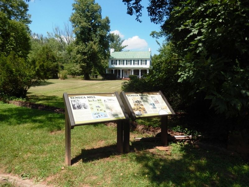
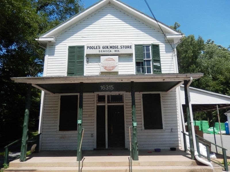
Location. 39° 4.79′ N, 77° 20.437′ W. Marker is in Seneca, Maryland, in Montgomery County. Marker is on Old River Road. The marker is to the left of the Poole's Gen. Mdse. Store. Touch for map. Marker is in this post office area: Poolesville MD 20837, United States of America. Touch for directions.
Other nearby markers. At least 8 other markers are within walking distance of this marker. Seneca Store (here, next to this marker); a different marker also named Seneca Store (a few steps from this marker); Seneca Mills During the Civil War (within shouting distance of this marker); A Veteran’s Life in Montgomery County (within shouting distance of this marker); The Historic Seneca Schoolhouse (approx. 0.6 miles away); Seneca Schoolhouse (approx. 0.6 miles away); Seneca Creek: “A Raging River” (approx. 0.6 miles away); Seneca: “Average Man’s Resort” (approx. 0.6 miles away). Touch for a list and map of all markers in Seneca.
Credits. This page was last revised on July 26, 2016. It was originally submitted on July 25, 2016, by Don Morfe of Baltimore, Maryland. This page has been viewed 492 times since then and 29 times this year. Photos: 1, 2, 3. submitted on July 25, 2016, by Don Morfe of Baltimore, Maryland. • Bill Pfingsten was the editor who published this page.


