Corydon in Harrison County, Indiana — The American Midwest (Great Lakes)
Oswell Wright
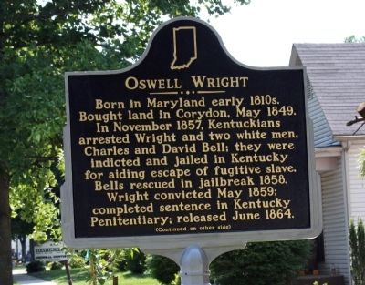
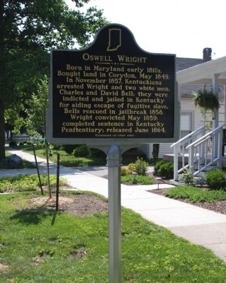
Born in Maryland early 1810's. Bought land in Corydon, May 1849. In November 1857, Kentuckians arrested Wright and two white men, Charles and David Bell; they were indicted and jailed in Kentucky for aiding escape of fugitive slave. Bells rescued in jailbreak 1858. Wright convicted May 1859; completed sentence in kentucky Penitentiary; released June 1864.
Back side
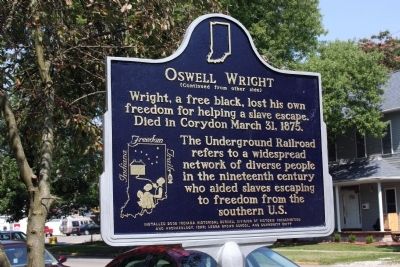
Wright, a free black, lost his own freedom for helping a slave escape. Died in Corydon, March 31, 1875.
The Underground Railroad refers to a widespread network of diverse people in the nineteenth century who aided slaves escaping to freedom from the southern U. S.
Erected 2008 by Indiana Historical Bureau, IDNR; Leora Brown School, & Community Unity. (Marker Number 31.2008.1.)
Topics and series. This historical marker is listed in these topic lists: Abolition & Underground RR • African Americans • Civil Rights. In addition, it is included in the Indiana Historical Bureau Markers series list. A significant historical date for this entry is March 31, 1617.
Location. 38° 12.625′ N, 86° 7.305′ W. Marker is in Corydon, Indiana, in Harrison County. Marker is on East Chestnut Street, on the right when traveling east. Touch for map . Marker is at or near this postal address: 417 East Chestnut Street, Corydon IN 47112, United States of America. Touch for directions.
Other nearby markers. At least 8 other markers are within walking distance of this marker. The Red Mill – Reasor’s Service Station (about 700 feet away, measured in a direct line); Old Corydon Post Office (about 800 feet away); Bulleit Ford Garage (about 800 feet away); Bulleit Building (approx. 0.2 miles away); V.H. Bulleit Building (approx. 0.2 miles away); Bulleit-Hurst Building (approx. 0.2 miles away); Beanblossom Building (approx. 0.2 miles away); J. J. Bulleit Building (approx. 0.2 miles away). Touch for a list and map of all markers in Corydon.
Also see . . . Photos of Dedication (Courtesy - Indiana Historical Bureau):. (Submitted on January 20, 2013, by Al Wolf of Veedersburg, Indiana.)
Credits. This page was last revised on June 16, 2016. It was originally submitted on July 27, 2008, by Al Wolf of Veedersburg, Indiana. This page has been viewed 1,845 times since then and 25 times this year. Photos: 1, 2, 3. submitted on July 27, 2008, by Al Wolf of Veedersburg, Indiana. • Christopher Busta-Peck was the editor who published this page.


