Near Hancock in Washington County, Maryland — The American Northeast (Mid-Atlantic)
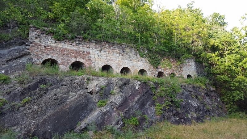
Round Top Cement Mill
Western Maryland Rail Trail
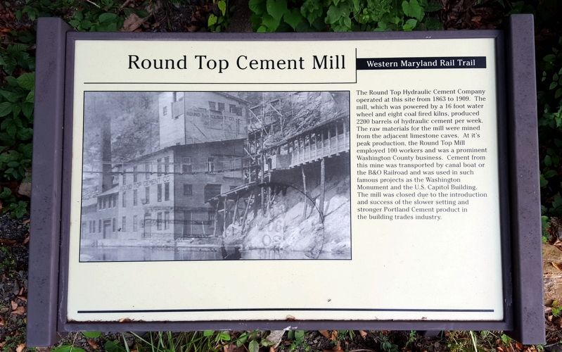
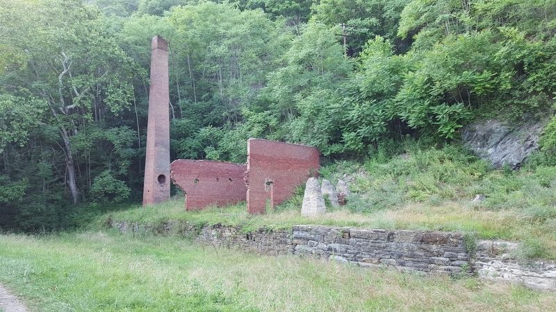
The Round Top Hydraulic Cement Company operated at this site from 1863 to 1909. The mill, which was powered by a 16 foot water wheel and eight coal fired kilns, produced 2200 barrels of hydraulic cement per week. The raw materials for the mill were mined from the adjacent limestone caves. At its peak production, the Round Top Mill employed 100 workers and was a prominent Washington County business. Cement from this mine was transported by canal boat or the B&O Railroad and was used in such famous projects as the Washington Monument and the U.S. Capitol Building. The mill was closed due to the introduction and success of the slower setting and stronger Portland Cement product in the building trades industry.
Erected by Western Maryland Rail Trail.
Topics. This historical marker is listed in these topic lists: Industry & Commerce • Railroads & Streetcars • Waterways & Vessels.
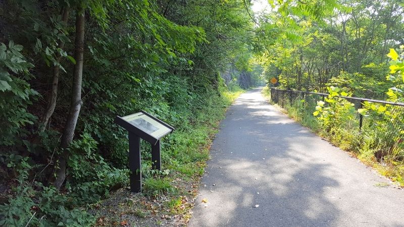
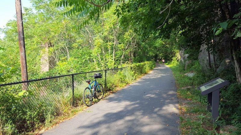
Location. 39° 40.653′ N, 78° 13.618′ W. Marker is near Hancock, Maryland, in Washington County. Marker can be reached from the intersection of Locker Road and Berm Road, on the right when traveling south. Located on the Western Maryland Rail Trail. Touch for map. Marker is in this post office area: Hancock MD 21750, United States of America. Touch for directions.
Other nearby markers. At least 8 other markers are within 2 miles of this marker, measured as the crow flies. A different marker also named Round Top Cement Mill (within shouting distance of this marker); Round Top Geology (within shouting distance of this marker); Round Top Heritage Area (about 600 feet away, measured in a direct line); Round Top Sand Company (approx. 0.2 miles away); Lovers' Leap (approx. 1.7 miles away in West Virginia); “Old Mr. Flint’s” Home (approx. 1.9 miles away); National Pike Toll House (approx. 2 miles away); Tonoloway Fort (approx. 2 miles away). Touch for a list and map of all markers in Hancock.
Also see . . . Western Maryland Rail Trail. State of Maryland Department of Natural Resources website entry (Submitted on July 26, 2016.)
Credits. This page was last revised on February 19, 2022. It was originally submitted on July 26, 2016, by Bernard Fisher of Richmond, Virginia. This page has been viewed 476 times since then and 30 times this year. Photos: 1, 2, 3. submitted on July 26, 2016, by Bernard Fisher of Richmond, Virginia. 4, 5. submitted on July 25, 2016, by Bernard Fisher of Richmond, Virginia.
