Near Hancock in Washington County, Maryland — The American Northeast (Mid-Atlantic)
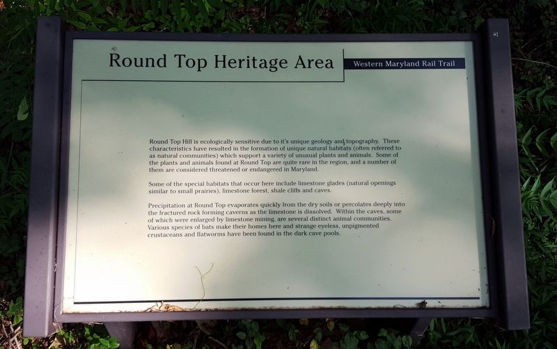
Round Top Heritage Area
Western Maryland Rail Trail
Round Top Hill is ecologically sensitive due to its unique geology and topography. These characteristics have resulted in the formation of unique natural habitats (often referred to as natural communities which support a variety of unusual plants and animals. Some of the plants and animals found at Round Top are quite rare in the region, and a number of them are considered threatened or endangered in Maryland.
Some of the special habitats that occur here include limestone glades (natural openings similar to small prairies), limestone forest, shale cliffs and caves.
Precipitation at Round Top evaporates quickly from the dry soils or percolates deeply into the fractured rock forming caverns as the limestone is dissolved. Within the caves, some of which were enlarged by limestone mining, are several distinct animal communities. Various species of bats make their homes here and strange eyeless, unpigmented crustaceans and flatworms have been found in the dark cave pools.
Erected by Western Maryland Rail Trail.
Topics. This historical marker is listed in these topic lists: Animals • Environment.
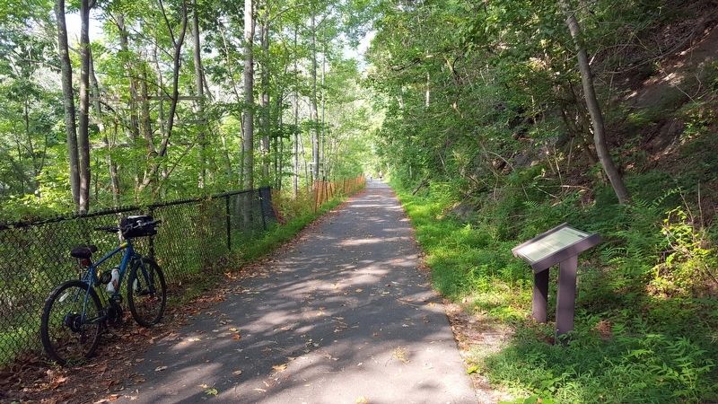
Location. 39° 40.631′ N, 78° 13.743′ W. Marker is near Hancock, Maryland, in Washington County. Marker can be reached from the intersection of Locker Road and Berm Road, on the right when traveling south. Located on the Western Maryland Rail Trail. Touch for map. Marker is in this post office area: Hancock MD 21750, United States of America. Touch for directions.
Other nearby markers. At least 8 other markers are within 2 miles of this marker, measured as the crow flies. Round Top Sand Company (about 300 feet away, measured in a direct line); Round Top Cement Mill (about 600 feet away); a different marker also named Round Top Cement Mill (about 700 feet away); Round Top Geology (about 700 feet away); Lovers' Leap (approx. 1.8 miles away in West Virginia); “Old Mr. Flint’s” Home (approx. 1.9 miles away); Skirmish at Sir Johns Run (approx. 2 miles away in West Virginia); National Pike Toll House (approx. 2.1 miles away). Touch for a list and map of all markers in Hancock.
Also see . . . Western Maryland Rail Trail. State of Maryland Department of Natural Resources website entry (Submitted on July 26, 2016.)
Credits. This page was last revised on February 19, 2022. It was originally submitted on July 26, 2016, by Bernard Fisher of Richmond, Virginia. This page has been viewed 347 times since then and 18 times this year. Photos: 1, 2. submitted on July 26, 2016, by Bernard Fisher of Richmond, Virginia.

