New Harmony in Posey County, Indiana — The American Midwest (Great Lakes)
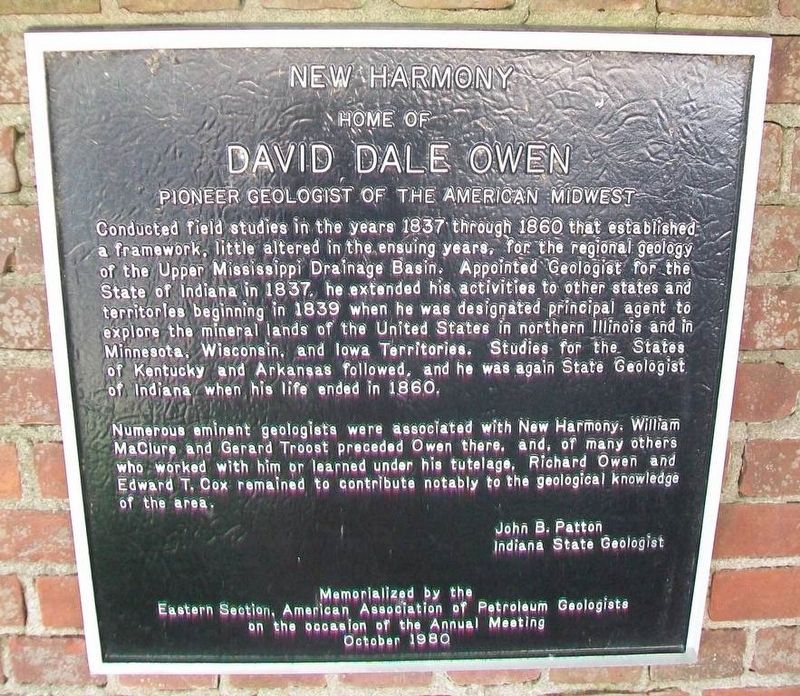
David Dale Owen
Pioneer Geologist of the American Midwest
— New Harmony, Home of —
Numerous eminent geologists were associated with New Harmony. William MaClure and Gerard Troost preceded Owen there, and, of many others who worked with him or learned under his tutelage, Richard Owen and Edward T. Cox remained to contribute notably to the geological knowledge of the area.
John B. Patton
Indiana State Geologist
October 1980
Erected 1980 by Eastern Section, American Association of Petroleum Geologists.
Topics. This historical marker is listed in this topic list: Science & Medicine. A significant historical year for this entry is 1837.
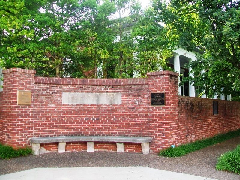
Location. 38° 7.795′ N, 87° 56.109′ W. Marker is in New Harmony, Indiana, in Posey County. Marker is on Main Street north of Church Street (State Road 66), on the left when traveling north. Touch for map. Marker is in this post office area: New Harmony IN 47631, United States of America. Touch for directions.
Other nearby markers. At least 8 other markers are within walking distance of this marker. New Harmony (here, next to this marker); New Harmony, Indiana (1814-1827) (here, next to this marker); Rappite Community House No. 2 (within shouting distance of this marker); a different marker also named New Harmony (about 300 feet away, measured in a direct line); New Harmony Area Veterans Memorial (about 400 feet away); New Harmony Workingmen's Institute (about 400 feet away); In Perfect Harmony (approx. 0.2 miles away); Maclure Park Bandstand (approx. ¼ mile away). Touch for a list and map of all markers in New Harmony.
Also see . . .
1. "David Dale Owen and Indiana's First Geological Survey" (1940 article). (Submitted on July 27, 2016, by William Fischer, Jr. of Scranton, Pennsylvania.)
2. "Death of David Dale Owen," in Scientific America (1860). (Submitted on July 27, 2016, by William Fischer, Jr. of Scranton, Pennsylvania.)
3. Historic New Harmony, Indiana. (Submitted on July 27, 2016, by William Fischer, Jr. of Scranton, Pennsylvania.)
Credits. This page was last revised on January 5, 2020. It was originally submitted on July 27, 2016, by William Fischer, Jr. of Scranton, Pennsylvania. This page has been viewed 518 times since then and 10 times this year. Photos: 1, 2. submitted on July 27, 2016, by William Fischer, Jr. of Scranton, Pennsylvania.

