Near San Angelo in Tom Green County, Texas — The American South (West South Central)
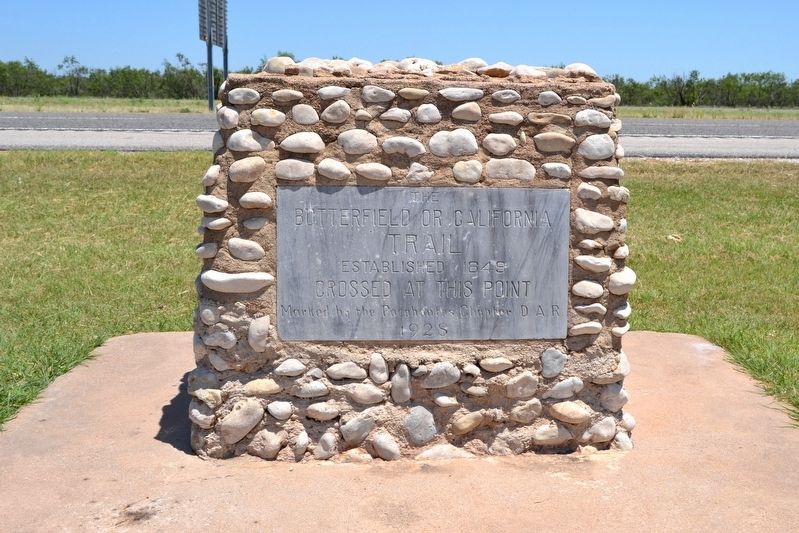
The Butterfield or California Trail
Established 1849
Crossed at this Point
Marked by the Pocahontas Chapter D.A.R.
1928
Erected 1928 by Pocahontas Chapter of the Daughters of the American Revolution.
Topics and series. This historical marker is listed in these topic lists: Communications • Roads & Vehicles. In addition, it is included in the Butterfield Overland Mail, the California Trail, and the Daughters of the American Revolution series lists. A significant historical year for this entry is 1849.
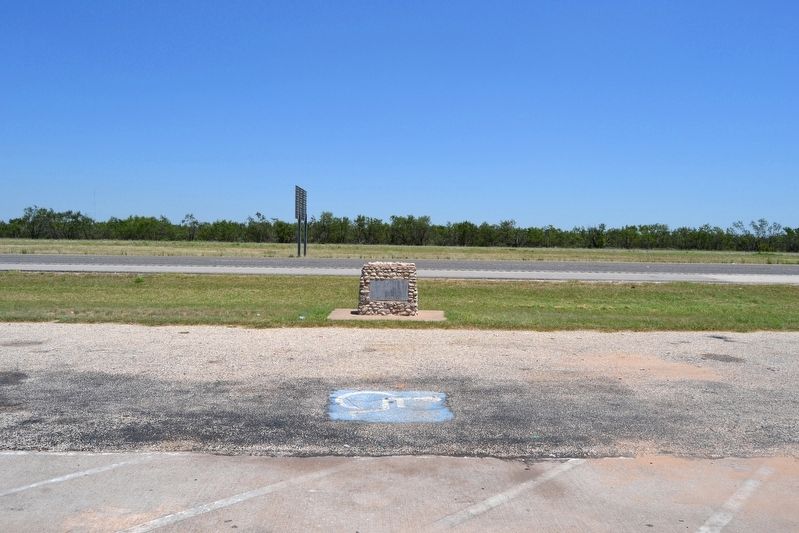
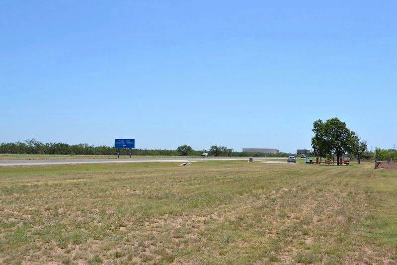
Location. 31° 33.048′ N, 100° 30.494′ W. Marker is near San Angelo, Texas, in Tom Green County. Marker is on U.S. 87, 0.6 miles south of March Road, on the right when traveling south. Marker is located at a roadside picnic area accessible only from the southbound lanes of US 87. Touch for map. Marker is in this post office area: San Angelo TX 76901, United States of America. Touch for directions.
Other nearby markers. At least 8 other markers are within 8 miles of this marker, measured as the crow flies. Sheep and Goat Industry in Texas (about 500 feet away, measured in a direct line); Butterfield Stage Station at Grape Creek (approx. 2.6 miles away); The Old Chicken Farm Art Center (approx. 5.6 miles away); Immanuel Baptist Church (approx. 6˝ miles away); Guadalupe Elementary School (approx. 6.6 miles away); Site of Cornick Bungalows (approx. 6.8 miles away); City Hall (approx. 7.2 miles away); Delta Memorial Park Cemetery (approx. 7.2 miles away). Touch for a list and map of all markers in San Angelo.
Also see . . .
1. Butterfield Overland Mail - Wikipedia entry. (Submitted on July 27, 2016.)
2. Butterfield Overland Mail. From the Texas State Historical Association's "Handbook of Texas Online". (Submitted on July 27, 2016.)
Credits. This page was last revised on July 27, 2016. It was originally submitted on July 27, 2016, by Duane Hall of Abilene, Texas. This page has been viewed 658 times since then and 60 times this year. Photos: 1, 2, 3. submitted on July 27, 2016, by Duane Hall of Abilene, Texas.


