Self-Destruction
Star-Spangled Banner National Historic Trail
— National Park Service, U.S. Department of the Interior —
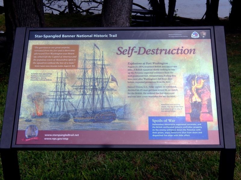
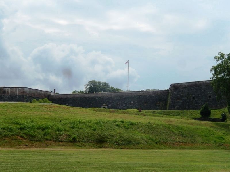
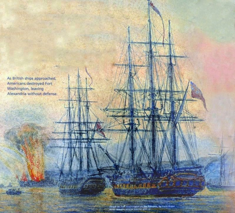
Explosions at Fort Washington August 27, 1814, surprised British and Americans alike. A British squadron slowly making its way up the Potomac expected resistance from the well-positioned fort. Alexandrians, fearing they were next after Washington’s fall three days before, expected protection from the fort.,P. Samuel Dyson, U.S. Army captain in command, decided his 45-man garrison would be no match for the British. He ordered the fort destroyed and was later court-martialed for his decision.
Spoils of War
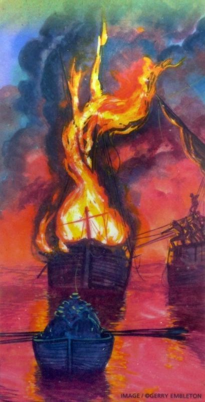
Defenseless Alexandria negotiated surrender, and the British confiscated tobacco and other property. As the enemy withdrew down the Potomac with their prizes, angry Americans shot from shore and dispatched fire-ships with little effect.
(Inscription beside the image on the lower right)
Americans sent burning vessels into the British fleet but failed to ignite any of the enemy’s ships.
“The garrison to our great surprise, retreated from the fort and a short time afterward Fort Washington was blown up, which left the Capitol of America and the populous town of Alexandria open to the squadron without the loss of a man.”
British Captain James Alexander Gordon, August 27, 1814.
(Inscription beside the image in the lower left)
As British ships approached, Americans
Erected by National Park Service, U.S. Department of the Interior.
Topics and series. This memorial is listed in this topic list: War of 1812. In addition, it is included in the Star Spangled Banner National Historic Trail series list.
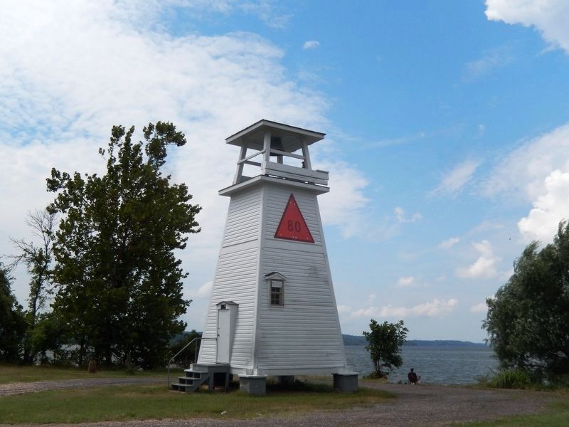
Location. 38° 42.741′ N, 77° 2.194′ W. Marker is in Fort Washington, Maryland, in Prince George's County. Memorial is on Fort Washington Park Road. This marker is near the Lighthouse. Touch for map. Marker is in this post office area: Fort Washington MD 20744, United States of America. Touch for directions.
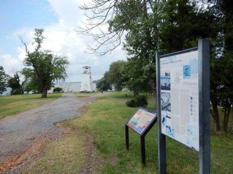
Other nearby markers. At least 8 other markers are within walking distance of this marker. Welcome to Fort Washington’s Waterside Trail (here, next to this marker); New Guns for an Old Fort (about 400 feet away, measured in a direct line); The Water Battery (about 400 feet away); Minefields (about 600 feet away); Shot and Shell (about 600 feet away); a different marker also named Water Battery (about 600 feet away); Counterscarp Battery (about 700 feet away); The Cisterns (about 700 feet away). Touch for a list and map of all markers in Fort Washington.
Credits. This page was last revised on June 12, 2020. It was originally submitted on August 1, 2016, by Don Morfe of Baltimore, Maryland. This page has been viewed 383 times since then and 25 times this year. Photos: 1, 2, 3, 4, 5, 6. submitted on August 1, 2016, by Don Morfe of Baltimore, Maryland. 7, 8. submitted on April 15, 2019, by Allen C. Browne of Silver Spring, Maryland. • Bill Pfingsten was the editor who published this page.
