Frostburg in Allegany County, Maryland — The American Northeast (Mid-Atlantic)
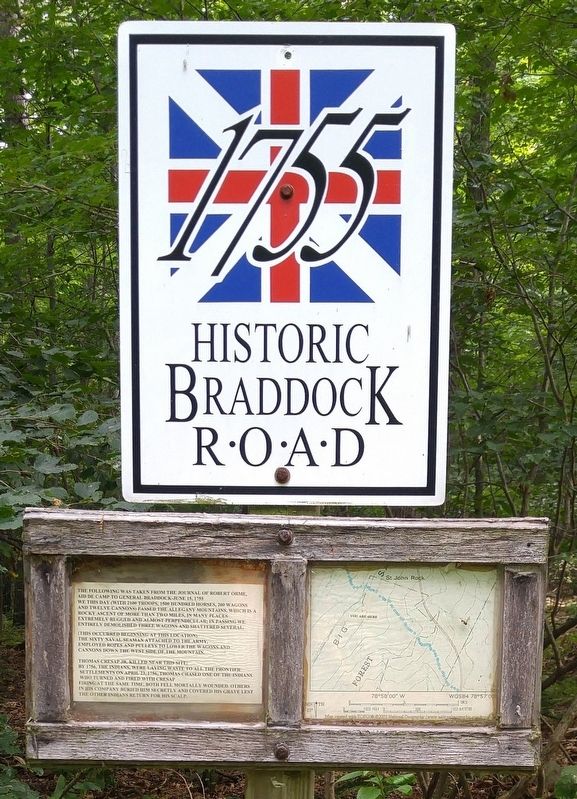
Historic Braddock Road
1755
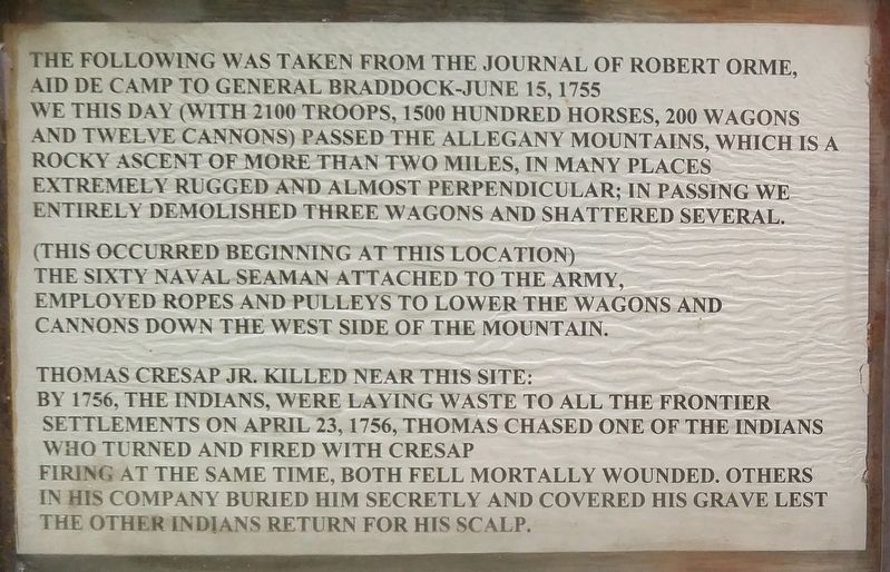
(This occurred beginning at this location) The sixty naval seaman attached to the army, employed ropes and pulleys to lower the wagons and cannons down the west side of the mountain.
Thomas Cresap Jr. killed near this site: By 1756, the Indians, were laying waste to all the frontier settlements on April 23, 1756, Thomas chased one of the Indians who turned and fired with Cresap firing at the same time, both fell mortally wounded. Others in his company buried him secretly and covered his grave lest the other Indians return for his scalp.
Topics. This historical marker is listed in these topic lists: Roads & Vehicles • War, French and Indian. A significant historical date for this entry is April 23, 1756.
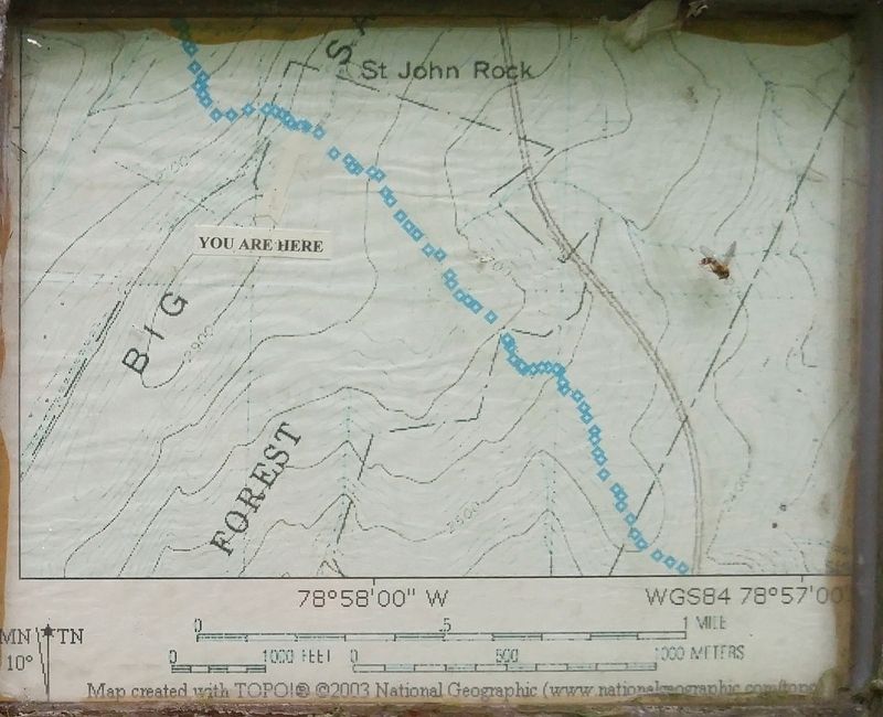
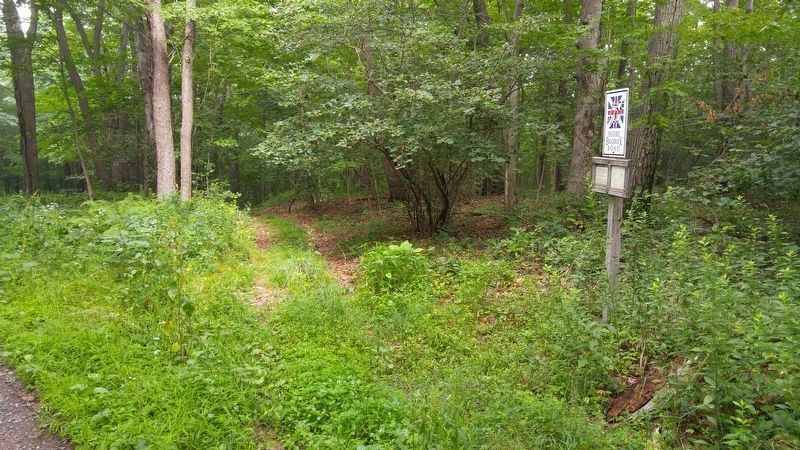
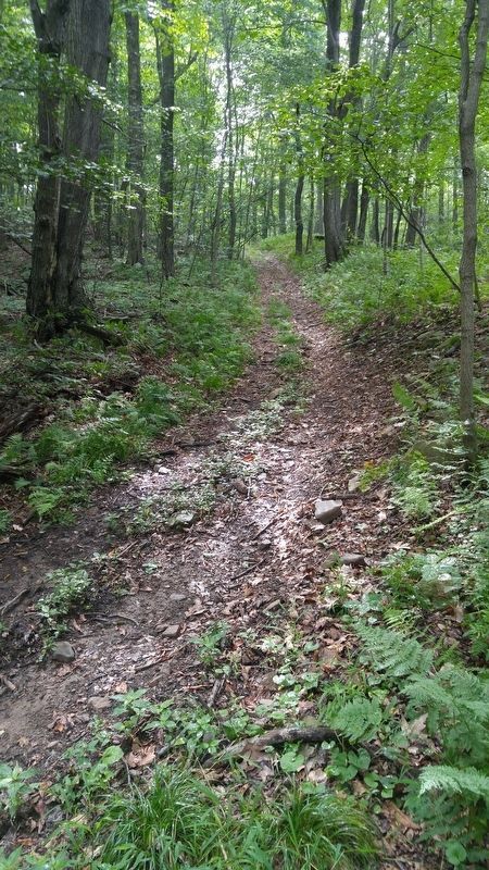
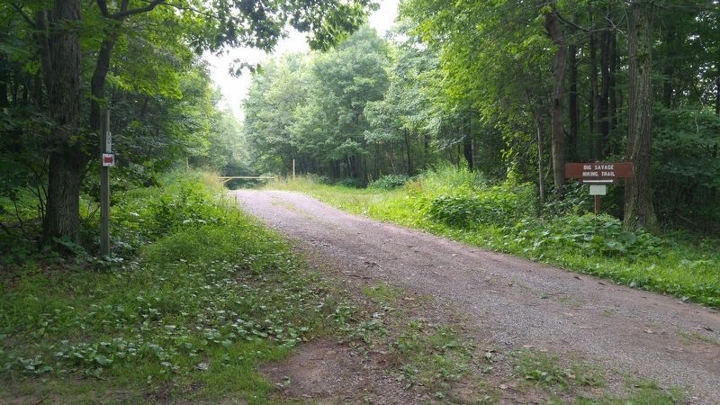
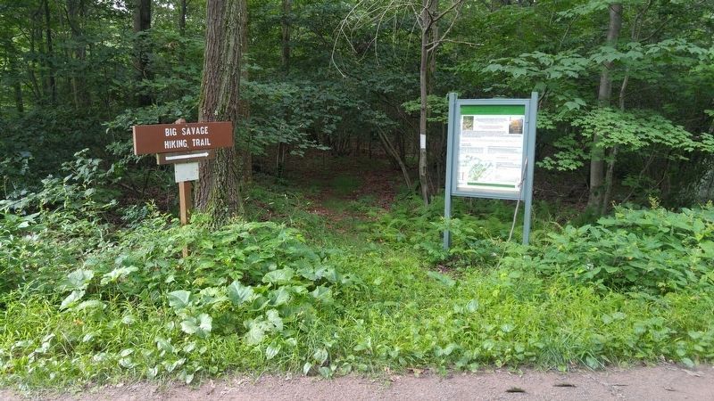
Location. 39° 39.992′ N, 78° 58.159′ W. Marker is in Frostburg, Maryland, in Allegany County. Marker can be reached from St. John's Rock Road, half a mile south of Beall School Road. Marker is near the trailhead for Big Savage Mountain Trail, and is located about .4 miles up a gravel access road (for the trail) that leaves St. John's Rock Road 1/2 mile from its intersection with Beall School Road and Old Beall School Road. Touch for map. Marker is in this post office area: Frostburg MD 21532, United States of America. Touch for directions.
Other nearby markers. At least 8 other markers are within 3 miles of this marker, measured as the crow flies. Westminster Hall (approx. 2 miles away); Cumberland Hall (approx. 2 miles away); Frederick Hall (approx. 2 miles away); Chesapeake Hall (approx. 2 miles away); Public Safety Building (approx. 2.1 miles away); World War I Memorial (approx. 2.2 miles away); Spitznas Unknown Soldier Plaque (approx. 2.2 miles away); Lewis J. Ort Library (approx. 2.2 miles away). Touch for a list and map of all markers in Frostburg.
More about this marker. The marker, and this 2 mile section of the Braddock Road, are within the Savage River State Forest.
Regarding Historic Braddock Road. The inscription includes "The sixty naval seaman" and I am thus unable to use the correct plural, "seamen".
Credits. This page was last revised on February 16, 2021. It was originally submitted on August 1, 2016, by F. Robby of Baltimore, Maryland. This page has been viewed 857 times since then and 44 times this year. Last updated on February 15, 2021, by Carl Gordon Moore Jr. of North East, Maryland. Photos: 1, 2, 3, 4, 5, 6, 7. submitted on August 1, 2016, by F. Robby of Baltimore, Maryland. • Bill Pfingsten was the editor who published this page.
