Near Caspar in Mendocino County, California — The American West (Pacific Coastal)
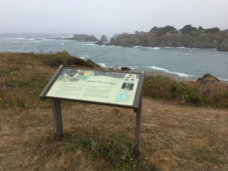
History Pivots on a Rock
Photographed By Barry Swackhamer, July 24, 2016
1. History Pivots on a Rock Marker
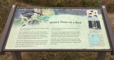
Captions: (top right) Ale glass, arrowheads and worked Chinese porcelain shards found at a Mitom Pomo village site 15 miles from the wreck of the Frolic; (middle right) Ford, finding nothing to salvage one year after the wreck of the Frolic, "discovered" old-growth trees like these along the banks of what is now called Big River.; (bottom right) July 25, 1850, path of the Folic from impact to resting place.
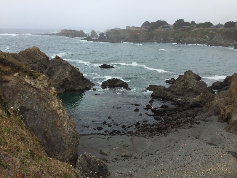
With a mighty jolt a rock took our rudder and punched a hole in her hull. The Frolic was sinking and none of us knew how to swim! Captain Faucon, bless him, barked his orders as the ship kept turnin' into the rocks. Finally the sails caught the wind and he beached her in the cove.
The Captain, officers and most of us mates rowed off into the night. Our boat leaked faster that we could bail. We were in danger of our lives so the Captain left us at the mouth of a big river. He and his officers took the good boat and rowed on.
I never saw the Captain again, though there's more to the story. Our magnificent cargo of silks, ceramics, and bottles of ale, brought all the way from China and beyond, became treasure for Pomo people and new settlers for miles around.
Eventually, a man named Ford made his way to the wreck, but found nothing to salvage. Instead, he discovered another kind of treasure: the huge old trees grown' along the river to the south.
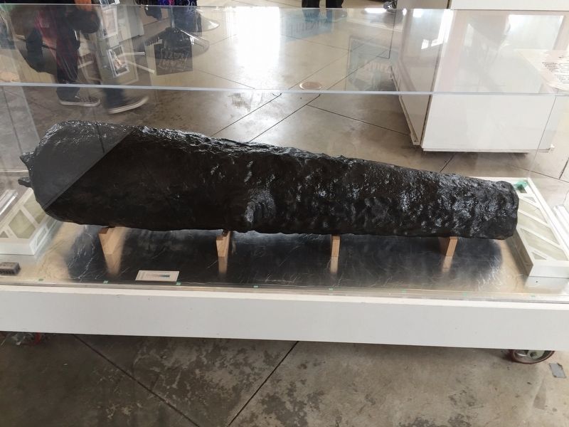
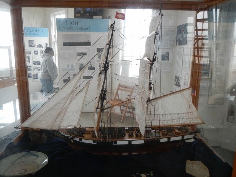
Narration based on archeological reports and materials. Visit the Lighthouse Museum for More Information on the Frolic
Erected by California State Parks.
Topics and series. This historical marker is listed in these topic lists: Disasters • Waterways & Vessels. In addition, it is included in the Chinese Heritage Sites of the American West series list.
Location. 39° 21.194′ N, 123° 49.385′ W. Marker is near Caspar, California, in Mendocino County. Marker can be reached from Lighthouse Road near Point Cabrillo Drive, on the left when traveling north. Touch for map. Marker is at or near this postal address: 45300 Lighthouse Road, Caspar CA 95420, United States of America. Touch for directions.
Other nearby markers. At least 8 other markers are within 7 miles of this marker, measured as the crow flies. Point Cabrillo Light Station (approx. 0.6 miles away); Mendocino Masonic Hall (approx. 3˝ miles away); Temple Kwan Tai (approx. 3˝ miles away); Mendocino Presbyterian Church (approx. 3˝ miles away); Ford House (approx. 3.6 miles away); The Parrish Family Cemetery (approx. 3.8 miles away); Runway! (approx. 5.4 miles away); Whirring Saws Silenced: A Pictorial History of the Mill Site (approx. 6.3 miles away).
More about this marker. This marker is located in Point Cabrillo Light Station State Historic Park on the North Trail overlooking Frolic Cove.
Also see . . .
The Voyage of the ‘Frolic’ - Stanford University Press. In the late summer of 1984, the author and a group of his archaeology students excavated fragments of Chinese porcelain at the site of a Pomo Indian village a hundred miles north of San Francisco. How did these ceramics, which were more than a hundred years old, find their way to this remote area? And what could one make of local legend that told of Pomo women wearing Chinese silk shawls in the 1850's? The author determined to find the answers to these questions, -- The Voyage of the ‘Frolic’- New England Merchants and the Opium Trade by Thomas N. Layton. (Submitted on August 5, 2016, by Barry Swackhamer of Brentwood, California.)
Credits. This page was last revised on August 9, 2016. It was originally submitted on August 5, 2016, by Barry Swackhamer of Brentwood, California. This page has been viewed 680 times since then and 21 times this year. Photos: 1, 2, 3, 4. submitted on August 5, 2016, by Barry Swackhamer of Brentwood, California. 5. submitted on August 7, 2016, by Barry Swackhamer of Brentwood, California.
