Caldwell in Sumner County, Kansas — The American Midwest (Upper Plains)
The Last Land Rush / Historic Marker Project
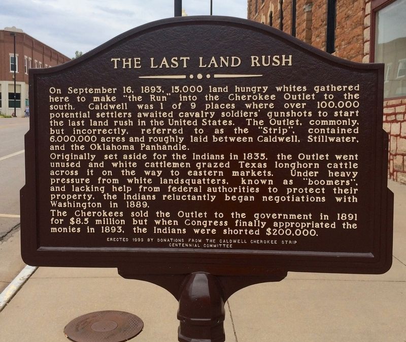
On September 16, 1893, 15,000 land hungry whites gathered here to make "the Run" into the Cherokee Outlet to the south. Caldwell was 1 of 9 places where over 100,000 potential settlers awaited cavalry soldiers' gunshots to start the last land rush in the United States. The Outlet, commonly, but incorrectly, referred to as the "Strip", contained 6,000,000 acres and roughly laid between Caldwell, Stillwater, and the Oklahoma Panhandle.
Originally set aside for the Indians in 1835, the Outlet went unused and white cattleman grazed Texas longhorn cattle across it on the way to eastern markets. Under heavy pressure from white landsquatters, known as "boomers", and lacking help from federal authorities to protect their property, the Indians reluctantly began negotiations with Washington in 1889.
The Cherokees sold the Outlet to the government in 1891 for $8.5 million but when Congress finally appropriated the monies in 1893, the Indians were shorted $200,000.
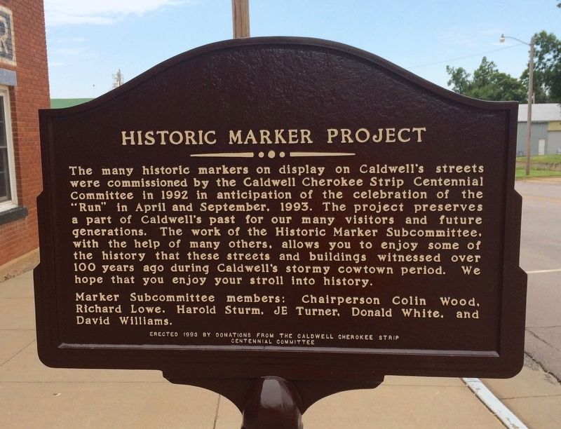
The many historic markers on display on Caldwell's streets were commissioned by the Caldwell Cherokee Strip Centennial Committee in 1992 in anticipation of the celebration of the "Run" in April and September, 1993. The project preserves a part of Caldwell's past for our many visitors and future generations. The work of the Historic Marker Subcommittee, with the help of others, allows you to enjoy some of the history that those streets and buildings witnessed over 100 years ago during Caldwell's stormy cowtown period. We hope you enjoy your stroll into history.
Marker Subcommittee members: Chairperson Colin Wood, Richard Lowe, Harold Sturm, JE Turner, Donald White, and David Williams.
Erected 1993 by The Caldwell Cherokee Strip Centennial Committee.
Topics. This historical marker is listed in these topic lists: Native Americans • Natural Resources • Notable Events. A significant historical date for this entry is September 16, 1893.
Location. 37° 1.954′ N, 97° 36.385′ W. Marker is in Caldwell, Kansas, in Sumner County. Marker is on East Central Avenue (U.S. 81) east of North Main Street (State Highway 49), on the left when traveling east. Touch for map. Marker is at or near this postal address: East Central Avenue, Caldwell KS 67022, United States of America. Touch for directions.
Other nearby markers. At least 8 other markers are within walking distance of this marker. "Those Who Came Before" (a few steps from this marker); Prohibition Movement (within shouting distance of this marker); Murder of Marshal George Flatt (within shouting distance of this marker); Talbot Gang Shootout (within shouting distance of this marker); Shooting Up Main Street (within shouting distance of this marker); The Last Chance Saloon (within shouting distance of this marker); Red Light Saloon / Chisholm Trail (about 300 feet away, measured in a direct line); Henry Newton Brown (about 300 feet away). Touch for a list and map of all markers in Caldwell.
Also see . . . Wikipedia article about the Land Rush of 1893. (Submitted on August 6, 2016, by Mark Hilton of Montgomery, Alabama.)
Credits. This page was last revised on August 6, 2016. It was originally submitted on August 6, 2016, by Mark Hilton of Montgomery, Alabama. This page has been viewed 445 times since then and 32 times this year. Photos: 1, 2, 3. submitted on August 6, 2016, by Mark Hilton of Montgomery, Alabama.


