Caldwell in Sumner County, Kansas — The American Midwest (Upper Plains)
Prohibition Movement
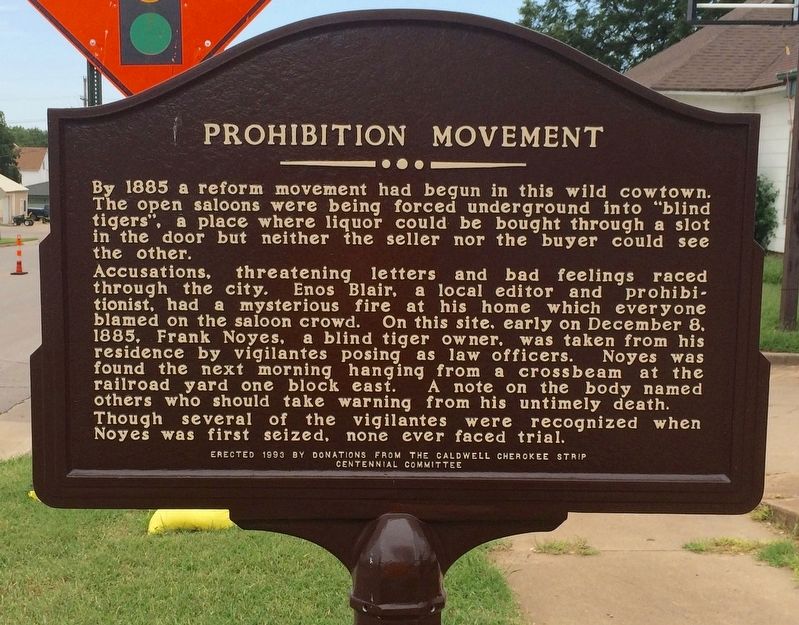
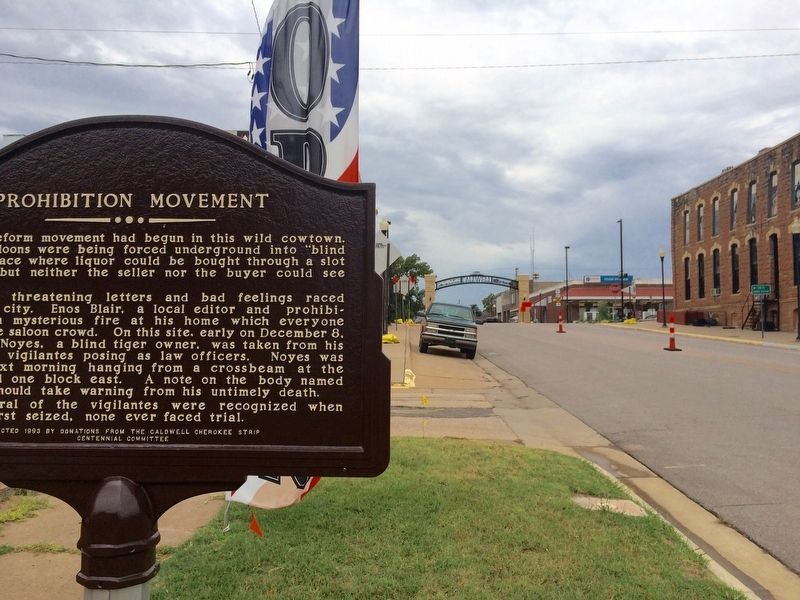
Accusations, threatening letters and bad feeling raced through the city. Enos Blair, a local editor and prohibitionist, had a mysterious fire at his home which everyone blamed on the saloon crowd. On this site, early on December 8, 1885, Frank Noyes, a blind tiger owner, was taken from his residence by vigilantes posing as law officers. Noyes was found the next morning hanging from a crossbeam at the railroad yard one block east. A note on the body named others who should take warning from his untimely death.
Though several of the vigilantes were recognized when Noyes was first seized, none ever faced trial.
Erected 1993 by The Caldwell Historical Society & Caldwell Cherokee Strip Centennial Committee.
Topics. This historical marker is listed in these topic lists: Notable Events • Notable Places. A significant historical date for this entry is December 8, 1885.
Location. 37° 1.944′ N, 97° 36.368′ W. Marker is in Caldwell, Kansas, in Sumner County. Marker is on East Central Avenue (U.S. 81) east of North Main Street (State Highway 49), on the right when traveling east. Touch for map. Marker is at or near this postal address: East Central Avenue, Caldwell KS 67022, United States of America. Touch for directions.
Other nearby markers. At least 8 other markers are within walking distance of this marker. "Those Who Came Before" (a few steps from this marker); The Last Land Rush / Historic Marker Project (within shouting distance of this marker); Talbot Gang Shootout (within shouting distance of this marker); Murder of Marshal George Flatt (within shouting distance of this marker); The Last Chance Saloon (about 300 feet away, measured in a direct line); Shooting Up Main Street (about 300 feet away); Native Stone Building (about 400 feet away); Red Light Saloon / Chisholm Trail (about 400 feet away). Touch for a list and map of all markers in Caldwell.
More about this marker. Funded by donations from the Caldwell Cherokee Strip Centennial Committee.
Additional keywords. lynching
Credits. This page was last revised on May 3, 2018. It was originally submitted on August 6, 2016, by Mark Hilton of Montgomery, Alabama. This page has been viewed 407 times since then and 18 times this year. Photos: 1, 2, 3. submitted on August 6, 2016, by Mark Hilton of Montgomery, Alabama.


