Near Midway in San Bernardino County, California — The American West (Pacific Coastal)
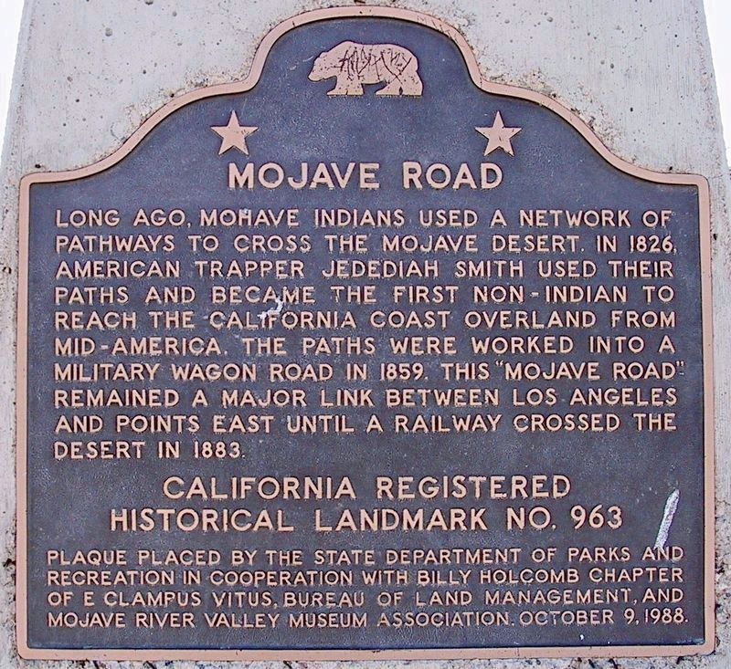
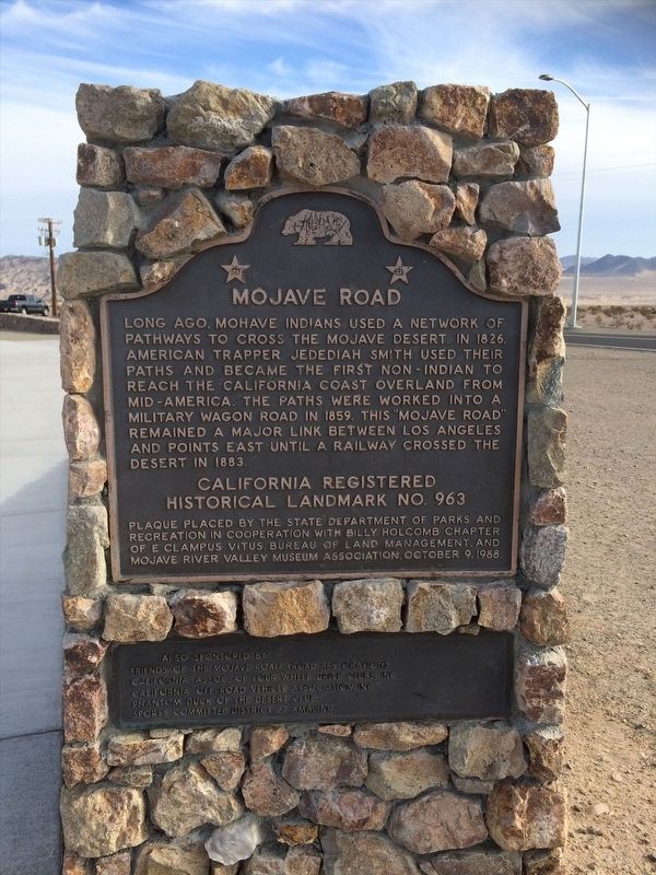
Mojave Road
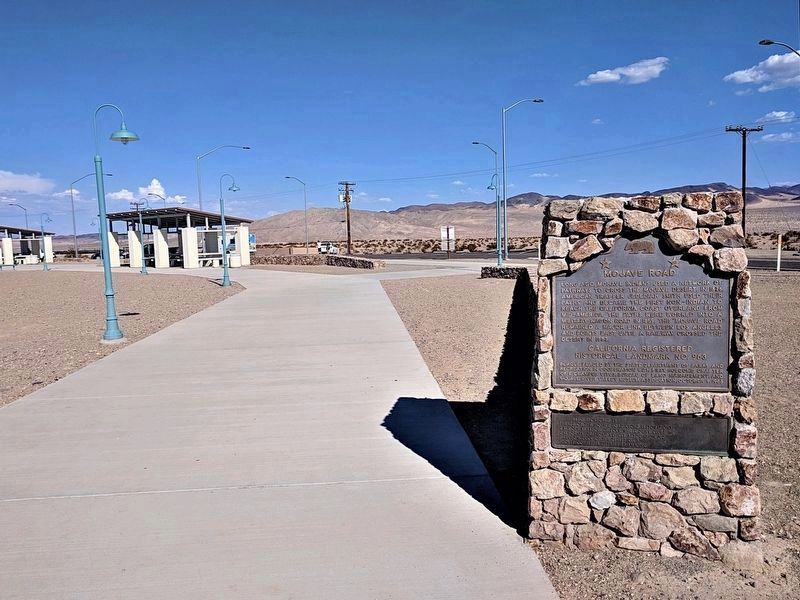
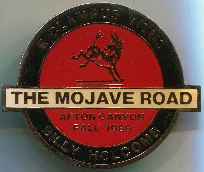
Erected 1988 by State Department of Parks and Recreation, Billy Holcomb Chapter No. 1069 E Clampus Vitus, Bureau of Land Management, and Mojave River Valley Museum Association. (Marker Number 963.)
Topics and series. This historical marker is listed in these topic lists: Exploration • Native Americans • Roads & Vehicles. In addition, it is included in the California Historical Landmarks, the E Clampus Vitus, and the Mojave Road (Old Government Road) series lists. A significant historical year for this entry is 1826.
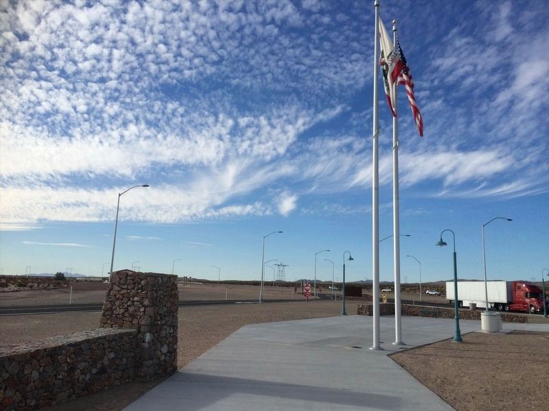
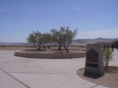
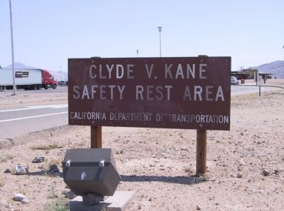
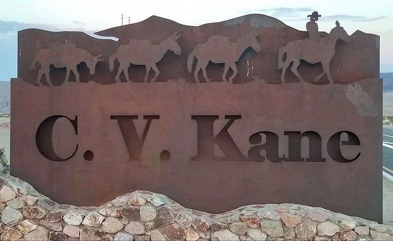
Location. 35° 1.906′ N, 116° 28.22′ W. Marker is near Midway, California, in San Bernardino County. Marker is on Interstate 15, 34 miles north of Barstow, on the right when traveling north. Marker is located on the northbound side of Interstate 15 in the Clyde V. Kane Rest Area. Touch for map. Marker is in this post office area: Baker CA 92309, United States of America. Touch for directions.
Other nearby markers. At least 6 other markers are within 12 miles of this marker, measured as the crow flies. The Mojave Desert (within shouting distance of this marker); Camp Cady (approx. 9˝ miles away); Harvard Reservoir (approx. 11.7 miles away); Harvard Mill (approx. 11.8 miles away); a different marker also named Camp Cady (approx. 12 miles away); Historic Mojave River Road (approx. 12 miles away).
Regarding Mojave Road. Until the coming of the railroads, the chief route across this part of California was the Mojave Road. Heading west from the Colorado River, it passed several vital sources of water necessary for travelers' survival: Pah-Ute Springs, Rock Springs, Marl Springs, Soda Springs and the Mojave River in Afton Canyon. The route continued on through Cajon Pass in the San Bernardino Mountains to Drum Barracks near Los Angeles Harbor. SOURCE: Billy Holcomb Chapter 1069 35th Anniversary Plaque Book by Phillip Holdaway
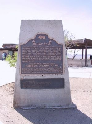
Photographed By Michael Kindig, April 24, 2009
2. Mojave Road Marker
Also sponsored by: Friends of the Mojave Road (Road Restoration), California Assoc. of Four Wheel Drive Clubs, Inc., California Off-Road Vehicle Association, Inc., Phantom Duck of the Desert Club, Sports Committee District 37 AMA, Inc.
Credits. This page was last revised on February 17, 2022. It was originally submitted on December 18, 2011, by Michael Kindig of Elk Grove, California. This page has been viewed 925 times since then and 26 times this year. Last updated on August 8, 2016, by Michael Kindig of Elk Grove, California. Photos: 1. submitted on October 21, 2021, by Craig Baker of Sylmar, California. 2. submitted on December 18, 2011, by Michael Kindig of Elk Grove, California. 3, 4. submitted on February 16, 2022, by Adam Margolis of Mission Viejo, California. 5. submitted on December 24, 2011, by Michael Kindig of Elk Grove, California. 6. submitted on October 27, 2021, by Craig Baker of Sylmar, California. 7. submitted on December 24, 2011, by Michael Kindig of Elk Grove, California. 8. submitted on October 27, 2021, by Craig Baker of Sylmar, California. 9, 10. submitted on August 8, 2016, by Michael Kindig of Elk Grove, California. • Syd Whittle was the editor who published this page.
