Benton in Saline County, Arkansas — The American South (West South Central)
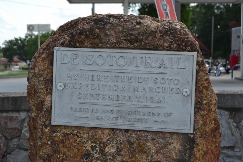
De Soto Trail
Erected 1935 by Citizens of Saline County.
Topics. This historical marker is listed in these topic lists: Colonial Era • Exploration. A significant historical date for this entry is September 7, 1541.
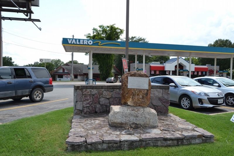
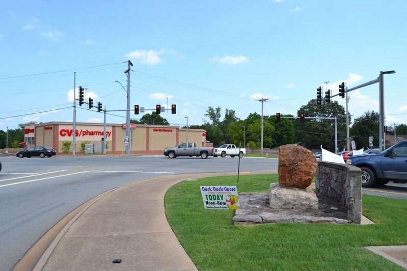
Location. 34° 34.164′ N, 92° 35.141′ W. Marker is in Benton, Arkansas, in Saline County. Marker is at the intersection of E. Carpenter Street (State Highway 35) and Military Road, on the right when traveling east on E. Carpenter Street. Touch for map. Marker is in this post office area: Benton AR 72015, United States of America. Touch for directions.
Other nearby markers. At least 8 other markers are within walking distance of this marker. The Benton Courier (approx. ¼ mile away); Operation Iraqi Freedom / Operation Enduring Freedom Memorial (approx. 0.3 miles away); Persian Gulf War Memorial (approx. 0.3 miles away); Bicentennial - Saline District Memorial (approx. 0.3 miles away); Saline County in the Civil War (approx. 0.3 miles away); Saline County's Everlasting Tribute (approx. 0.3 miles away); Saline County Revolutionary War Soldiers (approx. 0.3 miles away); Saline County Records (approx. 0.3 miles away). Touch for a list and map of all markers in Benton.
Also see . . . Route of the De Soto Expedition. From The Arkansas Encyclopedia of History & Culture. (Submitted on August 8, 2016.)
Credits. This page was last revised on September 9, 2020. It was originally submitted on August 8, 2016, by Duane Hall of Abilene, Texas. This page has been viewed 647 times since then and 38 times this year. Photos: 1, 2, 3. submitted on August 8, 2016, by Duane Hall of Abilene, Texas.


