Near Farson in Sweetwater County, Wyoming — The American West (Mountains)
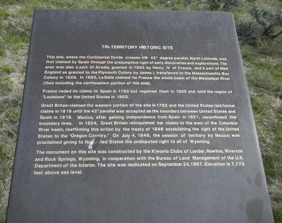
Tri-Territory Historic Site
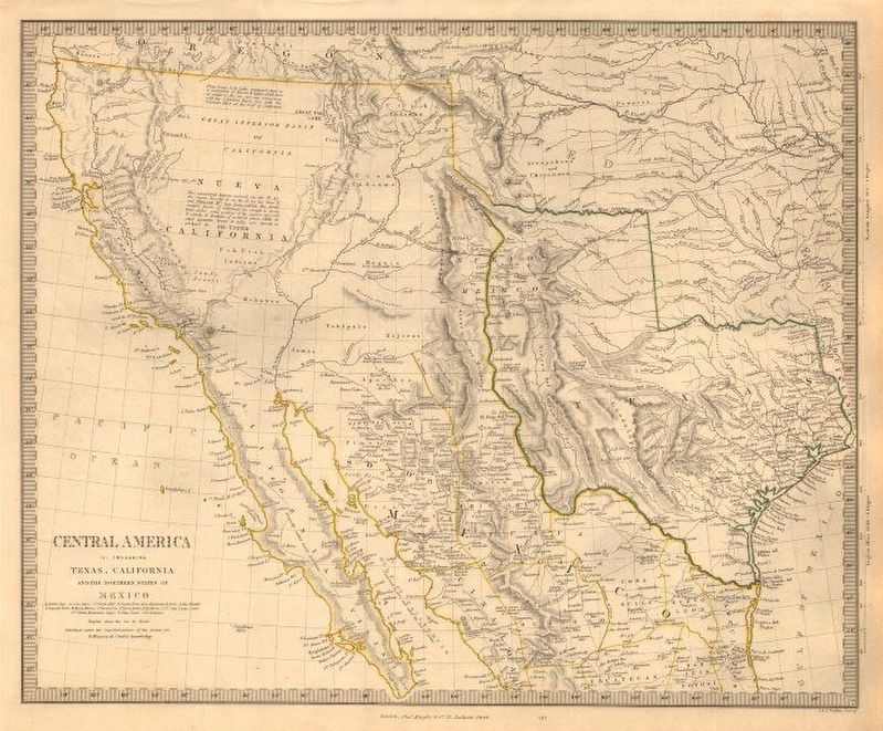
France ceded its claims to Spain in 1762 but regained them in 1800 and sold the region of “Louisiana” to the United States in 1803.
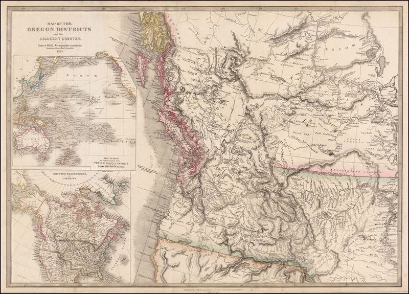
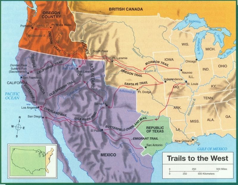
Great Britain claimed the western portion of the site in 1792 and the United States laid formal claims in 1818 until the 42 parallel was accepted as the boundary between United States and Spain in 1819. Mexico, after gaining independence from Spain in 1821, reconfirmed the boundary lines. In 1824, Great Britain relinquished her claims to the area of the Columbia River basin, reaffirming this action by the treaty of 1846 establishing the right of the United States to the “Oregon Country.” On July 4, 1848, the cession of territory by Mexico was proclaimed giving to the United States the undisputed right to all of Wyoming.
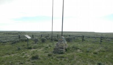
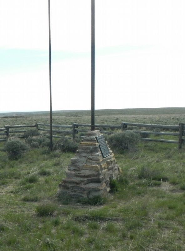
The monument on this site was constructed by the Kiwanis Clubs of Lander, Rawlins, Riverton and Rock Springs, Wyoming, in cooperation with the Bureau of Land Management of the U.S. Department of Interior. The site was dedicated on September 24, 1967. Elevation is 7,775 feet above sea level.
Erected by U.S. Department of the Interior, Bureau of Land Management.
Topics. This historical marker is listed in these topic lists: Landmarks • Political Subdivisions.
Location. 42° 0′ N, 108° 55.02′ W. Marker is near Farson, Wyoming, in Sweetwater County. Marker is on BLM Road 4102 near County Route 83, on the left when traveling south. Touch for map. Marker is in this post office area: Farson WY 82932, United States of America. Touch for directions.
Other nearby markers. At least 1 other marker is within walking distance of this marker. A different marker also named Tri-Territory Historic Site (a few steps from this marker).
More about this marker. It is a 31 mile drive on dirt and gravel roads to the location of the Tri-Territory Historic Site. From Wyoming Highway 28 take Sweetwater County Road 21 (Bar X Road) and Sweetwater County Road 83 (Freighter Gap Road) to BLM Road 4102, then turn south for 2 or 3 miles. The route to Tri-Territory Historic Site is well-marked by BLM signs.
Regarding Tri-Territory Historic Site.
It is hard to imagine that anything ever happened at so isolated a location, but at this spot three nations, Mexico, Great Britain and the United States, met; three nations that competed for and fought for control of the North American continent.
Also see . . .
1. Ti--Territory Site - American Surveyor. The first half of the Nineteenth Century was a time of great excitement about what was west of the Mississippi River, that great, mostly unexplored land that was yet to become part of the United States. This vast wilderness was, in fact, claimed in part by Spain, France, England, Mexico and Texas Republic and was inhabited by many Native American tribes and numerous, thus far unfamiliar, wild animals. (Submitted on August 10, 2016, by Barry Swackhamer of Brentwood, California.)
2. Territorial evolution of the United States - Wikipeidia. Very enlightening! (Submitted on August 10, 2016, by Barry Swackhamer of Brentwood, California.)
3. Territorial evolution of North America since 1763 - Wikipeidia. Very enlightening! (Submitted on August 10, 2016, by Barry Swackhamer of Brentwood, California.)
Credits. This page was last revised on August 10, 2016. It was originally submitted on August 10, 2016, by Barry Swackhamer of Brentwood, California. This page has been viewed 1,380 times since then and 57 times this year. Photos: 1, 2, 3, 4, 5, 6. submitted on August 10, 2016, by Barry Swackhamer of Brentwood, California.
