Near Farson in Sweetwater County, Wyoming — The American West (Mountains)
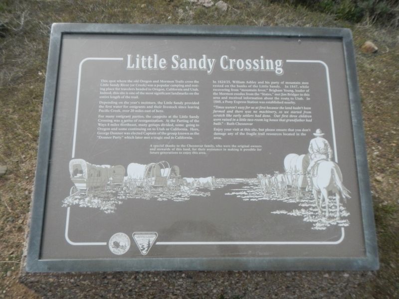
Little Sandy Crossing
Depending on the year's moisture, the Little Sandy provided the first water for emigrants and their livestock once leaving Pacific Creek, over 20 miles east of here.
For many emigrant parties, the campsite at the Little Sandy Crossing was a scene of reorganization. At the Parting of the Ways 8 miles northeast, many groups divided, some going to Oregon and some continuing on to Utah or California. Here, George Donner was elected Captain of the group known as the "Donner Party" which later met a tragic end in California.
In 1824/25, William Ashley and his party of mountain men rested on the banks of the Little Sandy. In 1847, while recovering from "mountain fever," Brigham Young, leader of the Mormon exodus from the "States." met Jim Bridger in this area and received information about the route to Utah. In 1860, a Pony Express Station was established nearby.
"Times weren't easy for us at first because the land hadn't been farmed and there was no machinery, so we started from scratch like early settlers had done. Out first three children were raised in a little two-room log house that grandfather had built." - Ruth Chesnovar
Enjoy your visit at this site, but please ensure that you don't damage any of the fragile trail resources located in the area.
A special thanks to the Chesnovar family, who were the original owners and stewards of this land, for their assistance in making it possible for future generations to enjoy this area.
Erected by U.S. Department of the Interior, Bureau of Land Management.
Topics and series. This historical marker is listed in these topic lists: Roads & Vehicles • Settlements & Settlers. In addition, it is included in the Oregon Trail series list.
Location. 42° 11.787′ N, 109° 20.905′ W. Marker is near Farson, Wyoming, in Sweetwater County. Marker is on California-Mormon Road near Carson 4th East Road, becomes Farson Little Sandy (Wyoming Highway 108), on the right when traveling east. Touch for map. Marker is in this post office area: Farson WY 82932, United States of America. Touch for directions.
Other nearby markers. At least 6 other markers are within 13 miles of this marker, measured as the crow flies. To All Pioneers Who Passed This Way to Win and Hold the West (approx. 6.4 miles away); Parting of the Ways (approx. 7˝ miles away); To the Brave Men Who Rode the Pony Express (approx. 7.9 miles away); The Big Sandy River (approx. 8.1 miles away); a different marker also named Little Sandy Crossing (approx. 8.1 miles away); Pronghorn Antelope and the High Cold Desert (approx. 12.4 miles away).
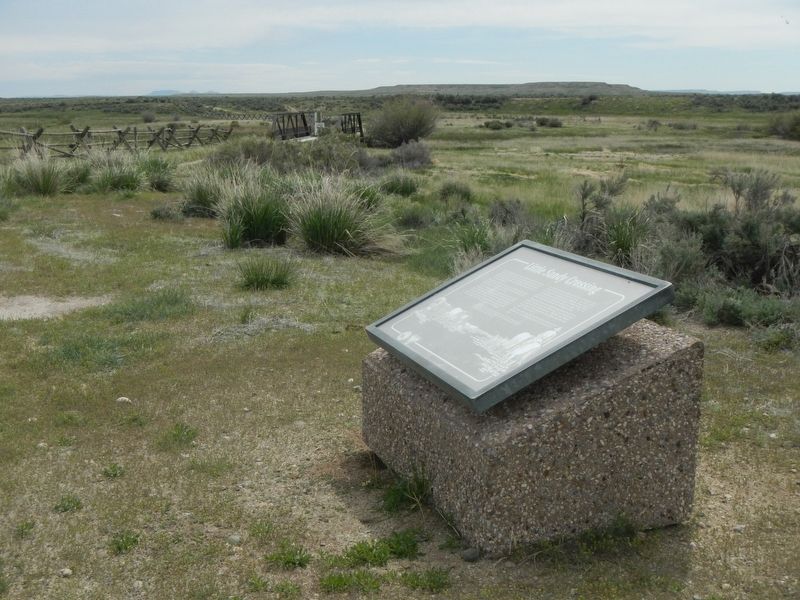
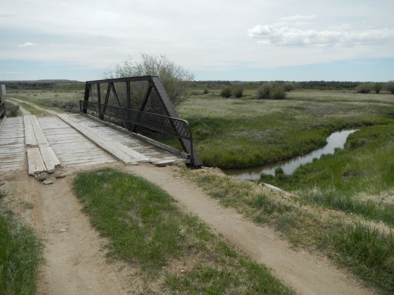
More about this marker. This marker is located on the west side of the Little Sandy River where the Oregon/California/Mormon Pioneer Trail crosses it.
Credits. This page was last revised on August 10, 2016. It was originally submitted on August 10, 2016, by Barry Swackhamer of Brentwood, California. This page has been viewed 952 times since then and 69 times this year. Photos: 1, 2, 3. submitted on August 10, 2016, by Barry Swackhamer of Brentwood, California.


