Near Winslow in Navajo County, Arizona — The American Mountains (Southwest)
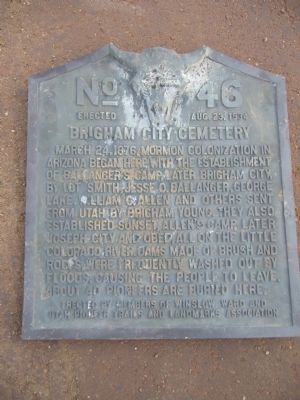
Brigham City Cemetery
Erected 1934 by Winslow LDS Ward and Utah Pioneer Trails and Landmarks Association. (Marker Number 46.)
Topics and series. This historical marker is listed in these topic lists: Cemeteries & Burial Sites • Settlements & Settlers. In addition, it is included in the Utah Pioneer Trails and Landmarks Association series list. A significant historical date for this entry is March 24, 1876.
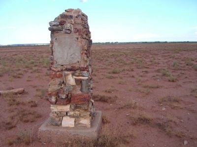
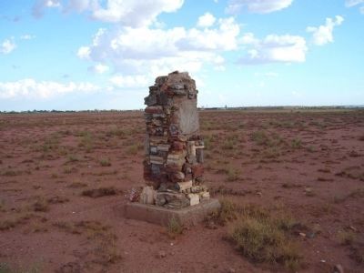
Location. Marker is missing. It was located near 35° 3.179′ N, 110° 42.337′ W. Marker was near Winslow, Arizona, in Navajo County. Marker could be reached from North Park Drive. Marker base is located 0.9 miles north of I-40 exit 253 and 0.43 miles west of North Park Drive. Touch for map. Marker was in this post office area: Winslow AZ 86047, United States of America. Touch for directions.
Other nearby markers. At least 8 other markers are within 3 miles of this location, measured as the crow flies. Brigham City (approx. 1˝ miles away); Standin’ on the Corner Park, Winslow, Arizona (approx. 2.1 miles away); Winslow Today: Downtown Renaissance and Tourism (approx. 2.1 miles away); Winslow Today: Commerce and Employment (approx. 2.1 miles away); A City in Motion: Modern Modes (approx. 2.1 miles away); A City in Motion: The Heyday of the Santa Fe Railway (approx. 2.1 miles away); The Railroads Build a Town: Early Industry (approx. 2.1 miles away); The Railroads Build a Town: Early Days (approx. 2.1 miles away). Touch for a list and map of all markers in Winslow.
More about this marker. The marker was removed, because of vandalism, and is in the possession of the Brigham City Restoration Project.
Credits. This page was last revised on August 22, 2016. It was originally submitted on September 30, 2010, by Bill Kirchner of Tucson, Arizona. This page has been viewed 1,161 times since then and 24 times this year. Last updated on August 18, 2016, by Bob Folkman of Brigham City, Utah. Photos: 1, 2, 3. submitted on September 30, 2010, by Bill Kirchner of Tucson, Arizona. • Syd Whittle was the editor who published this page.


