Potomac Diversion
Star-Spangled Banner National Historic Trail
— National Park Service, U.S. Department of the Interior —
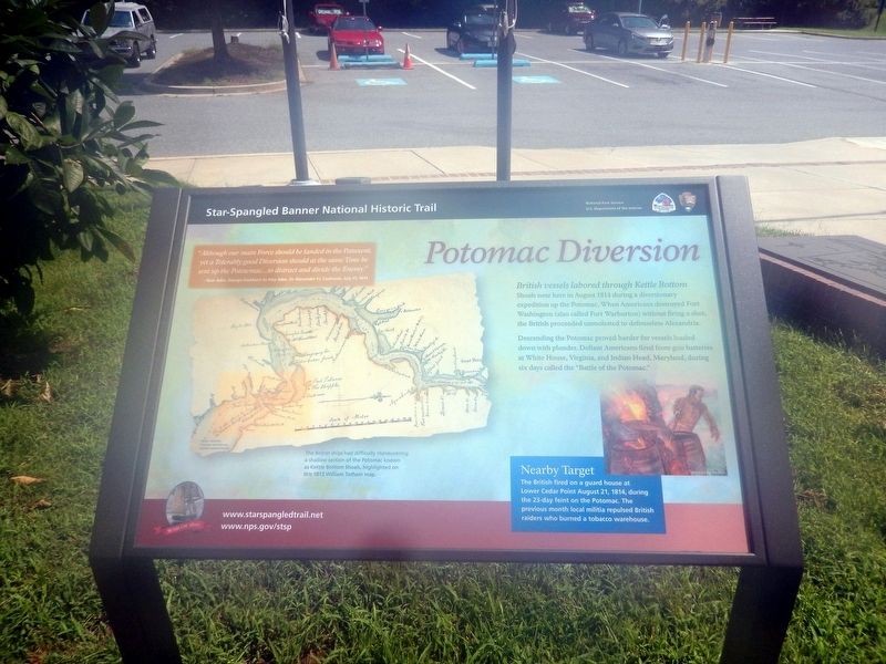
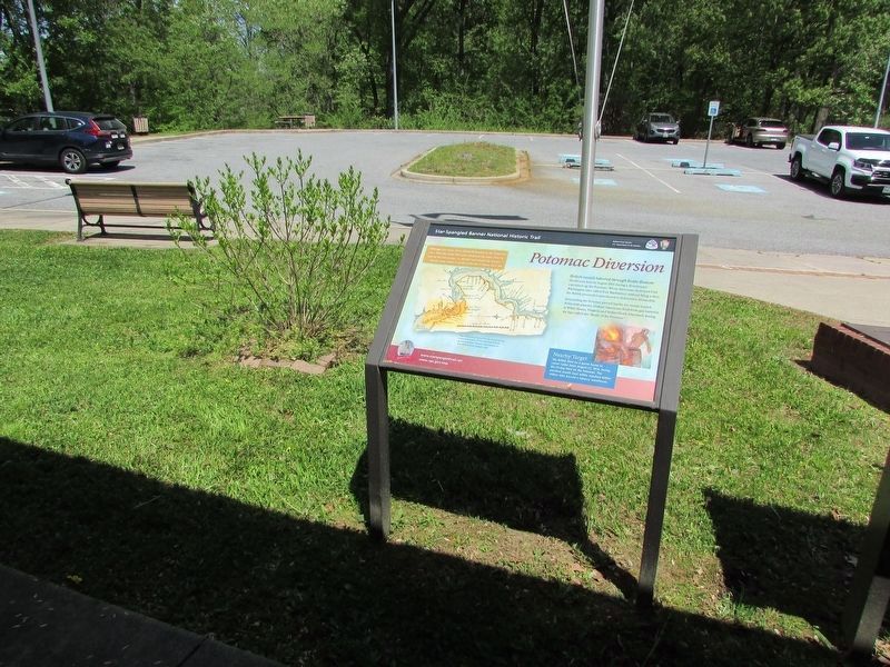
British vessels labored through Kettle Bottom Shoals near here in August 1814 during a diversionary expedition up the Potomac. When Americans destroyed Fort Washington (also called Fort Warburton) without firing a shot, the British proceeded unmolested to defenseless Alexandria.
Descending the Potomac proved harder for vessels loaded down with plunder. Defiant Americans fired from gun batteries at White House, Virginia, and Indian Head, Maryland, during six days called the “Battle of the Potomac.”
“Although our main Force should be landed in the Patuxent, yet a Tolerably good Diversion should at the same Time be sent up the Potomac..to distract and divide the Enemy.”
Rear Adm. George Cockburn to Vice Adm. Sir Alexander F.I. Cochrane July 17, 1814.
(Inscription under the map in the lower left)
The British ships had difficulty maneuvering a shallow section of the Potomac known as Kettle Bottom Shoals, highlighted on this 1813 William Tatham map.
(Inscription bedside the image on the right)
Nearby Target
The British fired on a guard house at Lower Cedar Point August 21, 1814, during the 23-day feint on the Potomac. The previous month local militia repulsed British raiders who burned a tobacco warehouse.
Erected
Topics and series. This memorial is listed in this topic list: War of 1812. In addition, it is included in the Star Spangled Banner National Historic Trail series list.
Location. 38° 22.146′ N, 76° 57.648′ W. Marker is in Newburg, Maryland, in Charles County. Memorial is on Crain Highway (U.S. 301). The marker is in front of the entrance to the Crain Memorial Information Center. Touch for map. Marker is at or near this postal address: 12480 Crain Highway, Newburg MD 20664, United States of America. Touch for directions.
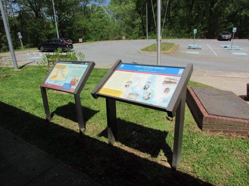
Other nearby markers. At least 8 other markers are within walking distance of this marker. John Wilkes Booth (here, next to this marker); Ways to Explore Southern Maryland’s Scenic and Historic Routes (within shouting distance of this marker); Explore your Cheaspeake (within shouting distance of this marker); Discover Southern Maryland’s Amazing Stories of Exploration, Hope, and Courage (within shouting distance of this marker); In Memory of Robert Crain (within shouting distance of this marker); Cliffton (approx. 0.2 miles away); Wolleston Manor (approx. 0.6 miles away); Laidler's Ferry (approx. 0.6 miles away). Touch for a list and map of all markers in Newburg.
Also see . . .
1. Star-Spangled Banner National Historic Trail, National Park Service. (Submitted on January 17, 2019.)
2. Star-Spangled Banner Byway, Maryland Scenic Byways. (Submitted on January 17, 2019.)
Credits. This page was last revised on May 10, 2023. It was originally submitted on August 20, 2016, by Don Morfe of Baltimore, Maryland. This page has been viewed 527 times since then and 26 times this year. Photos: 1. submitted on August 20, 2016, by Don Morfe of Baltimore, Maryland. 2, 3. submitted on April 27, 2023, by Bill Coughlin of Woodland Park, New Jersey. 4. submitted on August 20, 2016, by Don Morfe of Baltimore, Maryland. • Bill Pfingsten was the editor who published this page.


