Sarasota in Sarasota County, Florida — The American South (South Atlantic)
Cedar Point / Sunset Park - Cedar Point / Golden Gate Point
Inscription.
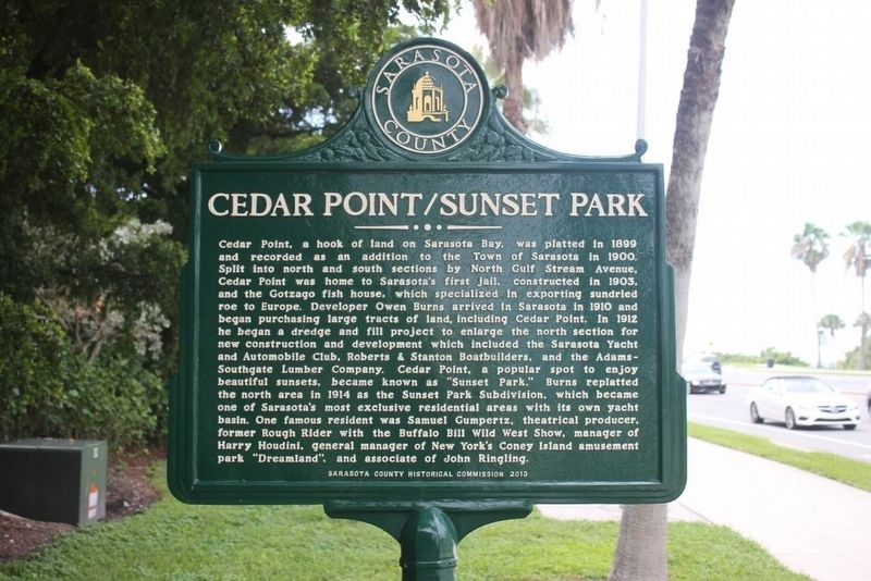
Cedar Point/Sunset Park
Cedar Point, a hook of land on Sarasota Bay, was platted in 1899 and recorded as an addition to the Town of Sarasota in 1900. Split into north and south sections by North Gulf Stream Avenue, Cedar Point was home to Sarasota’s first jail, constructed in 1903, and the Gotzago fish house, which specialized in exporting sundried roe to Europe. Developer Owen Burns arrived in Sarasota in 1910 and began purchasing large tracts of land, including Cedar Point. In 1912 he began a dredge and fill project to enlarge the north section for new construction and development which included the Sarasota Yacht and Automobile Club, Roberts & Stanton Boatbuilders, and the Adams-Southgate Lumber Company. Cedar Point, a popular spot to enjoy beautiful sunsets, became known as “Sunset Park.” Burns replatted the north area in 1914 as the Sunset Park Subdivision, which became one of Sarasota’s most exclusive residential areas with its own yacht basin. One famous resident was Samuel Gumpertz, theatrical producer, former Rough Rider with the Buffalo Bill Wild West Show, manager of Harry Houdini, general manager of New York’s Coney Island amusement park “Dreamland”, and associate of John Ringling.
Reverse:
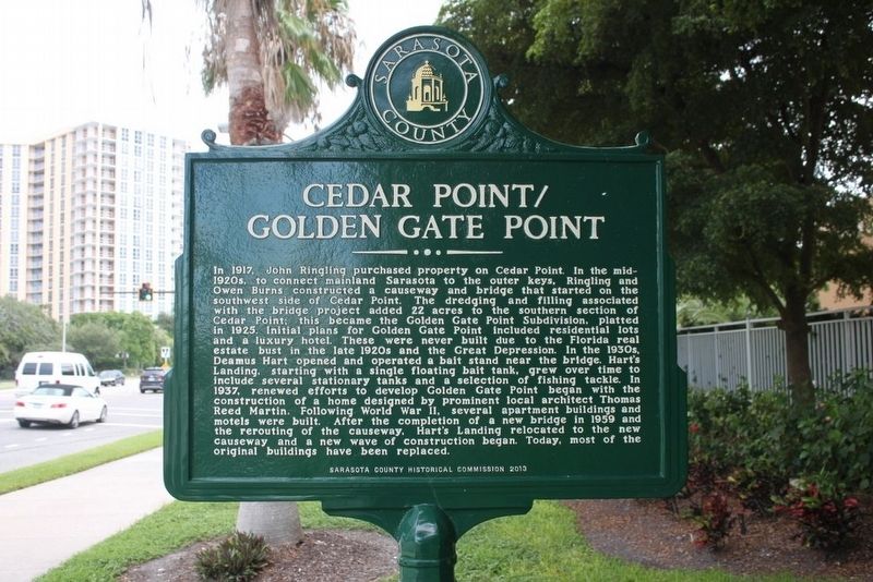
Cedar Point/Golden Gate Point
In 1917, John Ringling purchased property on Cedar Point. In the mid-1920s, to connect mainland Sarasota to the outer keys, Ringling and Owen Burns constructed a causeway and bridge that started on the southwest side of Cedar Point. The dredging and filling associated with the bridge project added 22 acres to the southern section of Cedar Point; this became the Golden Gate Point Subdivision, platted in 1925. Initial plans for Golden Gate Point included residential lots and a luxury hotel. These were never built due to the 1920s Florida real estate bust in the late 1920s and the Great Depression. In the 1930s, Deamus Hart opened and operated a bait stand near the bridge. Hart’s Landing, starting with a single floating bait tank, grew over time to include several stationary tanks and a selection of fishing tackle. In 1937, renewed efforts to develop Golden Gate Point began with the construction of a home designed by prominent local architect Thomas Reed Martin. Following World War II, several apartment buildings and motels were built. After the completion of a new bridge in 1959 and the rerouting of the causeway, Hart’s Landing relocated to the new causeway and a new wave of construction began. Today, most of the original buildings have been replaced.
Erected 2013 by Sarasota County Historical Commission.
Topics. This historical marker is listed in these topic lists: Bridges & Viaducts
• Parks & Recreational Areas • Settlements & Settlers • Waterways & Vessels. A significant historical year for this entry is 1899.
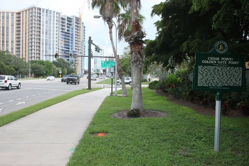
Location. 27° 20.133′ N, 82° 33.028′ W. Marker is in Sarasota, Florida, in Sarasota County. Marker is at the intersection of John Ringling Boulevard (State Road 789) and Golden Gate Point, on the right when traveling east on John Ringling Boulevard. Touch for map. Marker is in this post office area: Sarasota FL 34236, United States of America. Touch for directions.
Other nearby markers. At least 8 other markers are within walking distance of this marker. Sarasota's Bayfront (approx. 0.3 miles away); Landing of the Scots (approx. 0.4 miles away); Sarasota War Memorial/The Doughboy (approx. 0.4 miles away); Memorial Flag Pole - Chaplain J.D. Hamel Park (approx. 0.4 miles away); Unconditional Surrender (approx. 0.4 miles away); American National Bank (approx. 0.4 miles away); Historic Palm Tower (approx. 0.4 miles away); Edwards Theatre 1926 (approx. 0.4 miles away). Touch for a list and map of all markers in Sarasota.
Credits. This page was last revised on August 20, 2020. It was originally submitted on August 21, 2016, by Tim Fillmon of Webster, Florida. This page has been viewed 434 times since then and 27 times this year. Photos: 1, 2, 3. submitted on August 21, 2016, by Tim Fillmon of Webster, Florida. • Bernard Fisher was the editor who published this page.


