Near Whitesburg in Letcher County, Kentucky — The American South (East South Central)
Scotia Mine Disaster
(Side One)
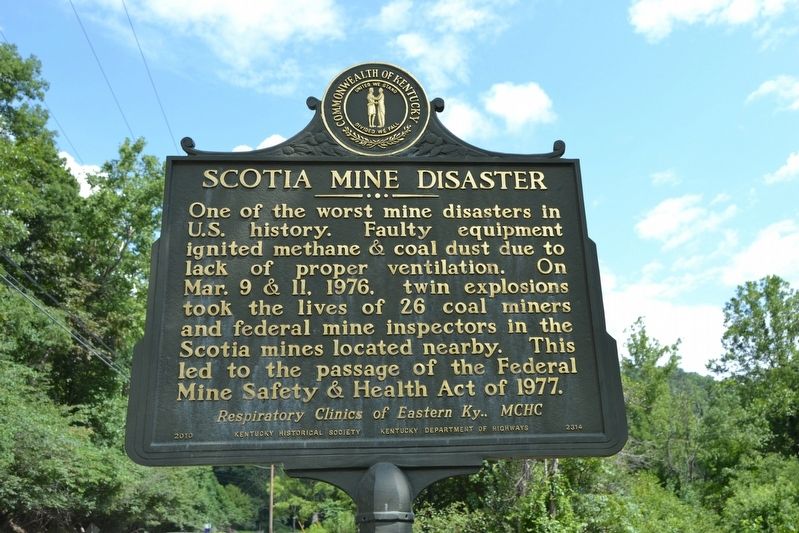
Scotia Mine Disaster
One of the worst mine disasters in U.S. history. Faulty equipment ignited methane & coal dust due to lack of proper ventilation. On Mar. 9 & 11, 1976, twin explosions took the lives of 26 coal miners and federal mine inspectors in the Scotia mines located nearby. This led to the passage of the Federal Mine Safety & Health Act of 1977.
(Side Two)
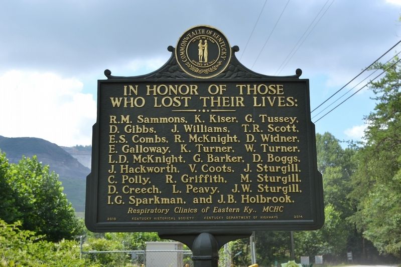
In Honor of Those Who Lost Their Lives:
R.M. Sammons, K. Kiser, G. Tussey, D. Gibbs, J. Williams, T.R. Scott, E.S. Combs, R. McKnight, D. Widner, E. Galloway, K. Turner, W. Turner, L.D. McKnight, G. Barker, D. Boggs, J. Hackworth, V. Coots, J. Sturgill, C. Polly, R. Griffith, M. Sturgill, D. Creech, L. Peavy, J.W. Sturgill, I.G. Sparkman, and J.B. Holbrook.
Erected 2010 by Kentucky Historical Society, Kentucky Department of Highways. (Marker Number 2314.)
Topics and series. This historical marker is listed in these topic lists: Disasters • Industry & Commerce. In addition, it is included in the Kentucky Historical Society series list. A significant historical date for this entry is March 9, 1976.
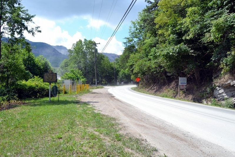
Location. 37° 2.881′ N, 82° 49.76′ W. Marker is near Whitesburg, Kentucky, in Letcher County. Marker is on U.S. 119, 2.1 miles west of Kentucky Highway 806, on the left when traveling west. Touch for map. Marker is in this post office area: Cumberland KY 40823, United States of America. Touch for directions.
Other nearby markers. At least 8 other markers are within 5 miles of this marker, measured as the crow flies. Kingdom Come (approx. 2.2 miles away); Harry Monroe Caudill (approx. 2.2 miles away); John Fox, Jr. (approx. 2.2 miles away); Harriette Simpson Arnow (approx. 2.2 miles away); James Still (approx. 2.2 miles away); Scuttle Hole Gap Road (approx. 2.3 miles away); Letcher County Honor Roll (approx. 4.9 miles away); Pilot -- Spy -- Hero / Francis Gary Powers (approx. 4.9 miles away). Touch for a list and map of all markers in Whitesburg.
Credits. This page was last revised on May 29, 2021. It was originally submitted on August 23, 2016, by Duane Hall of Abilene, Texas. This page has been viewed 492 times since then and 40 times this year. Photos: 1, 2, 3, 4. submitted on August 23, 2016, by Duane Hall of Abilene, Texas.


