Lynch in Harlan County, Kentucky — The American South (East South Central)
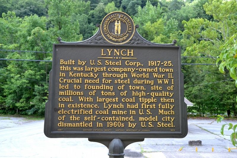
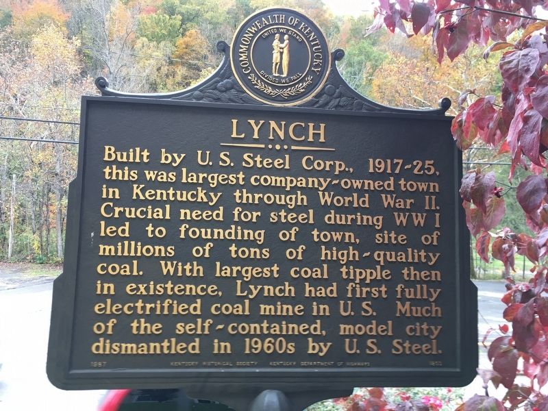
Lynch
Erected 1987 by Kentucky Historical Society, Kentucky Department of Highways. (Marker Number 1803.)
Topics and series. This historical marker is listed in these topic lists: Industry & Commerce • Settlements & Settlers. In addition, it is included in the Kentucky Historical Society series list. A significant historical year for this entry is 1917.
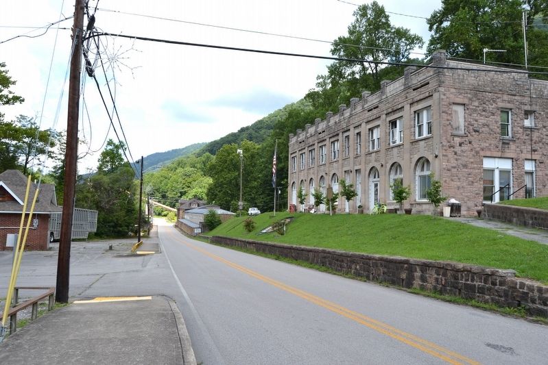
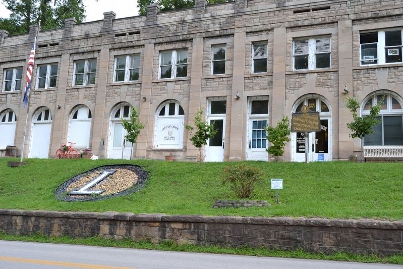
Location. 36° 57.909′ N, 82° 54.951′ W. Marker is in Lynch, Kentucky, in Harlan County. Marker is at the intersection of State Highway 6 and S. Reservoir Street, on the left when traveling east on State Highway 6. Marker is located in front of the Lynch City Hall. Touch for map. Marker is in this post office area: Lynch KY 40855, United States of America. Touch for directions.
Other nearby markers. At least 8 other markers are within walking distance of this marker. Railroad Station (about 500 feet away, measured in a direct line); Lynch Firehouse (about 600 feet away); Lamp House No. 2 (about 600 feet away); No. 31 Mine Portals (about 600 feet away); Restaurant Building (about 700 feet away); Mine Ventilating Fan (about 800 feet away); No. 31 Mine Shop (approx. 0.2 miles away); History of Lynch (approx. 0.2 miles away). Touch for a list and map of all markers in Lynch.
Also see . . . The Town & People 1917-1926. From the website of Portal 31: Kentucky’s First Exhibition Coal Mine. (Submitted on August 23, 2016.)
Credits. This page was last revised on December 7, 2021. It was originally submitted on August 23, 2016, by Duane Hall of Abilene, Texas. This page has been viewed 429 times since then and 19 times this year. Photos: 1. submitted on August 23, 2016, by Duane Hall of Abilene, Texas. 2. submitted on December 6, 2021, by Gerald Castellow of Lexington, Kentucky. 3, 4. submitted on August 23, 2016, by Duane Hall of Abilene, Texas.


