Rumney in Grafton County, New Hampshire — The American Northeast (New England)
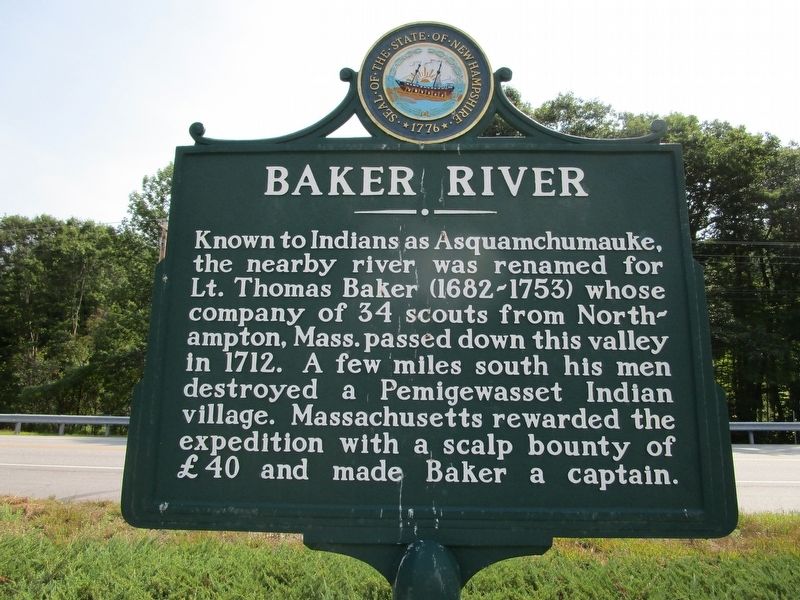
Baker River
Inscription.
Known to Indians as Asquamchumauke,
the nearby river was renamed for
Lt. Thomas Baker (1682-1753) whose
company of 34 scouts from North-
ampton, Mass. passed down this valley
in 1712. A few miles south his men
destroyed a Pemigewasset Indian
village. Massachusetts rewarded the
expedition with a scalp bounty of
£40 and made Baker a captain.
Erected by State of New Hampshire. (Marker Number 55.)
Topics. This historical marker is listed in these topic lists: Native Americans • Wars, US Indian • Waterways & Vessels. A significant historical year for this entry is 1712.
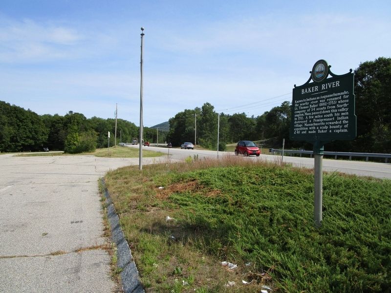
Location. 43° 48.19′ N, 71° 51.375′ W. Marker is in Rumney, New Hampshire, in Grafton County. Marker is on Mount Moosilauke Highway (New Hampshire Route 25) one mile west of Halls Brook Road, on the right when traveling west. Marker faces a wayside parking area with a signless structure; possibly a closed visitor information office. Touch for map. Marker is at or near this postal address: 2926 Route 25, Rumney NH 03266, United States of America. Touch for directions.
Other nearby markers. At least 8 other markers are within 9 miles of this marker, measured as the crow flies. The Granite State (approx. 3.9 miles away); Geological History of the Polar Caves (approx. 4 miles away); Park History (approx. 4 miles away); Smith Bridge (approx. 6.1 miles away); Home Site of Nathaniel Berry (approx. 7.9 miles away); Norris Cotton (approx. 8.6 miles away); The Frost House (approx. 8.8 miles away); Bobcat Boulder (approx. 8.8 miles away). Touch for a list and map of all markers in Rumney.
Credits. This page was last revised on August 27, 2016. It was originally submitted on August 26, 2016, by Anton Schwarzmueller of Wilson, New York. This page has been viewed 968 times since then and 86 times this year. Photos: 1, 2. submitted on August 26, 2016, by Anton Schwarzmueller of Wilson, New York.

