Lincoln in Grafton County, New Hampshire — The American Northeast (New England)
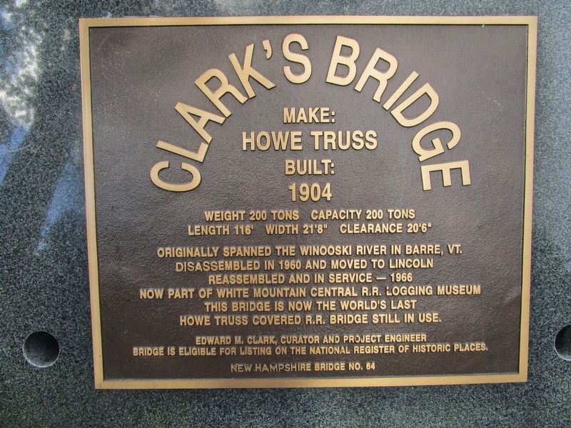
Clark's Bridge
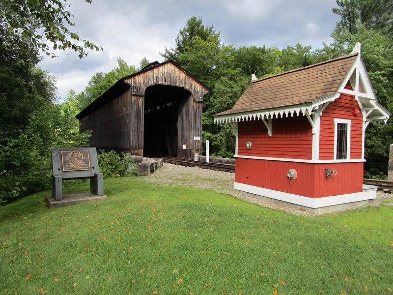
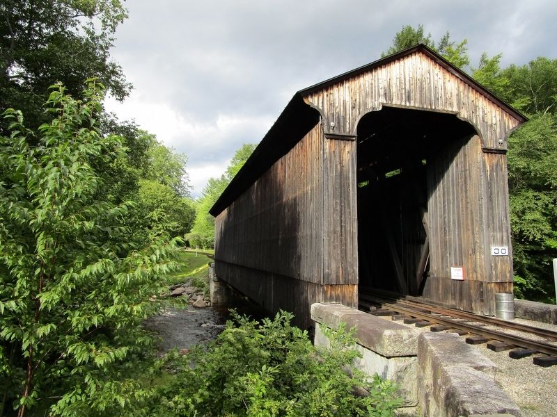
Originally spanned the Winooski River in Barre, VT. Disassembled in 1960 and moved to Lincoln. Reassembled and in service - 1966. Now part of the White Mountain Central R.R. Logging Museum. This bridge is now the world's last Howe Truss covered R.R. bridge still in use.
Edward M. Clark, curator and project engineer. Bridge is eligible for listing on the National Register of Historic Places. New Hampshire Bridge No. 64.
Erected by Clark's Trading Post.
Topics. This historical marker is listed in these topic lists: Bridges & Viaducts • Railroads & Streetcars. A significant historical year for this entry is 1904.
Location. 44° 3.074′ N, 71° 41.283′ W. Marker is in Lincoln, New Hampshire, in Grafton County. Marker is on Daniel Webster Highway (U.S. 3) ¼ mile north of Connector Road, on the right when traveling north. Marker is set back from the highway at Clark's Trading Post, a seasonal tourist attraction. Touch for map. Marker is at or near this postal address: 110 Daniel Webster Highway, Lincoln NH 03251, United States of America. Touch for directions.
Other nearby markers. At least 8 other markers are within 2 miles of this marker, measured as the crow flies. Quinten E. Mulleavey (a few steps from this marker); Borasaurus (about 600 feet away, measured in a direct line); The First Passenger Carrying Aerial Tramway in North America (about 700 feet away); The Bear Show (approx. ¼ mile away); N.H. (approx. 1½ miles away); Woodstock World War Two Memorial (approx. 1½ miles away); Korean Conflict (approx. 1½ miles away); Vietnam Veterans (approx. 1½ miles away). Touch for a list and map of all markers in Lincoln.
Also see . . . Clark's Trading Post. (Submitted on August 27, 2016, by Anton Schwarzmueller of Wilson, New York.)
Credits. This page was last revised on August 31, 2016. It was originally submitted on August 27, 2016, by Anton Schwarzmueller of Wilson, New York. This page has been viewed 493 times since then and 35 times this year. Photos: 1, 2, 3. submitted on August 27, 2016, by Anton Schwarzmueller of Wilson, New York.


