Paris in Bourbon County, Kentucky — The American South (East South Central)
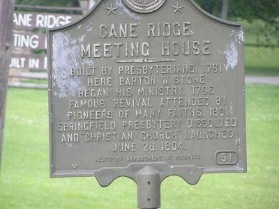
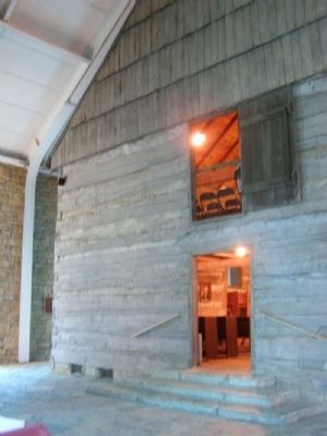
Cane Ridge Meeting House
Built by Presbyterians, 1791. Here Barton W. Stone began his ministry, 1796. Famous revival attended by pioneers of many faiths, 1801. Springfield Presbytery dissolved and "Christian Church" launched, June 28, 1804.
Erected by Kentucky Department of Highways. (Marker Number 51.)
Topics and series. This historical marker is listed in these topic lists: Churches & Religion • Settlements & Settlers. In addition, it is included in the Kentucky Historical Society series list. A significant historical date for this entry is June 28, 1781.
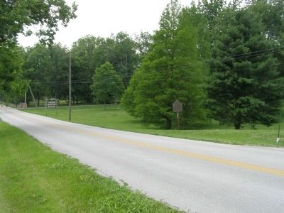
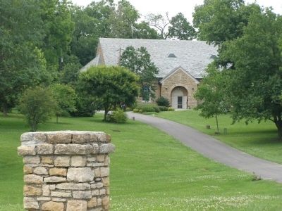
Location. 38° 13.281′ N, 84° 10.045′ W. Marker is in Paris, Kentucky, in Bourbon County. Marker is at the intersection of Cane Ridge Road (Kentucky Route 537) and Steele Road on Cane Ridge Road. From Paris, Kentucky, US 460 south about 1 mile to Cane Ridge Road (SR 537). Follow SR 537 about 4 miles to the grounds on the north (left side). Touch for map. Marker is in this post office area: Paris KY 40361, United States of America. Touch for directions.
Other nearby markers. At least 8 other markers are within 5 miles of this marker, measured as the crow flies. Site of 1792 Church (approx. 2.8 miles away); Site of Mt. Gilead Methodist Church (approx. 2.9 miles away); Bourbon County Revolutionary War Memorial (approx. 4˝ miles away); CSA at Paris, 1862 (approx. 4˝ miles away); Bourbon County Vietnam Veterans Memorial (approx. 4˝ miles away); John Edwards 1748-1837 / Westwood (approx. 4˝ miles away); Bourbon County, 1786 (approx. 4˝ miles away); Bourbon County World War I Monument (approx. 4˝ miles away). Touch for a list and map of all markers in Paris.
Credits. This page was last revised on June 3, 2021. It was originally submitted on July 30, 2008, by Christopher Light of Valparaiso, Indiana. This page has been viewed 2,139 times since then and 25 times this year. Photos: 1, 2, 3, 4. submitted on July 30, 2008, by Christopher Light of Valparaiso, Indiana. • Kevin W. was the editor who published this page.


