Near Stanton in Adams County, Mississippi — The American South (East South Central)
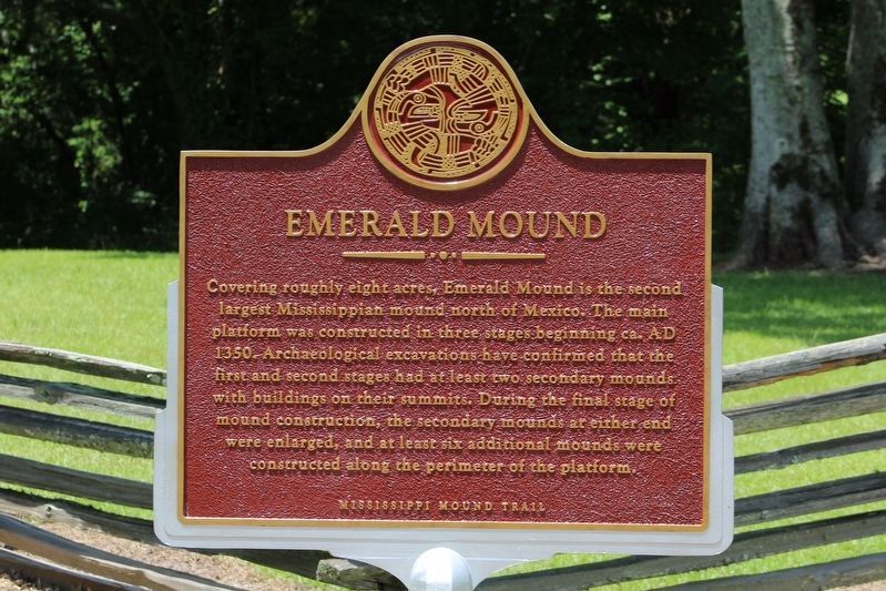
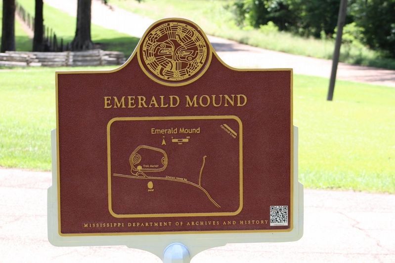
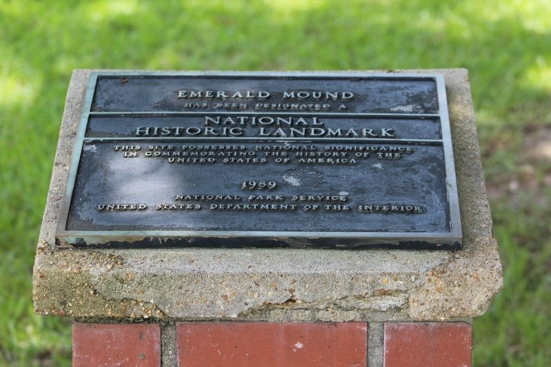
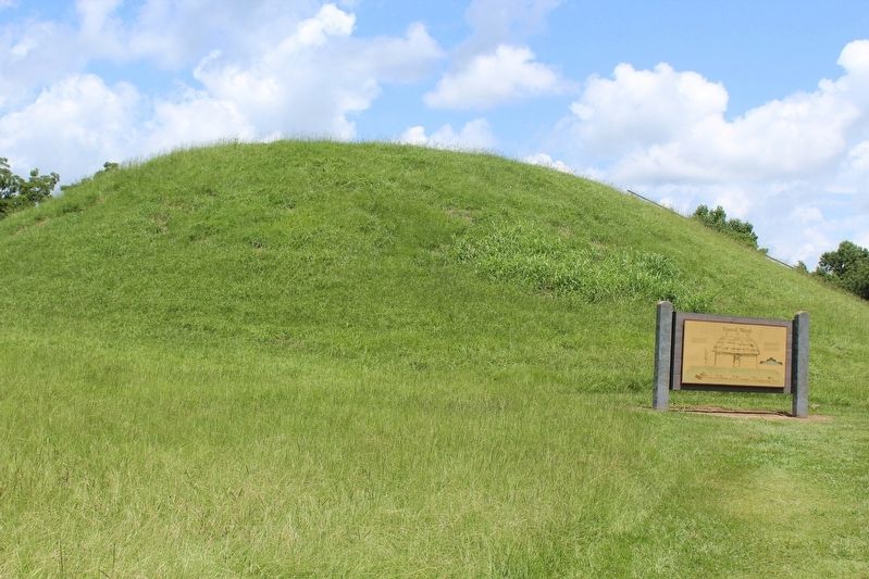
Emerald Mound
— Mississippi Mound Trail —
Erected by Mississippi Department of Archives and History.
Topics and series. This historical marker is listed in these topic lists: Anthropology & Archaeology • Native Americans. In addition, it is included in the Mississippi Mound Trail, and the National Historic Landmarks series lists. A significant historical year for this entry is 1350.
Location. 31° 38.125′ N, 91° 14.86′ W. Marker is near Stanton, Mississippi, in Adams County. Marker is on Emerald Mound Road, one mile west of Natchez Trace Parkway, on the right when traveling west. Touch for map. Marker is in this post office area: Natchez MS 39120, United States of America. Touch for directions.
Other nearby markers. At least 8 other markers are within 2 miles of this marker, measured as the crow flies. A different marker also named Emerald Mound (here, next to this marker); Still Sacred (here, next to this marker); One Mound Among Many (here, next to this marker); A Well-Organized Society (a few steps from this marker); A Remarkable Feat (a few steps from this marker); a different marker also named Emerald Mound (within shouting distance of this marker); Old Trace (approx. 1˝ miles away); Territorial Lifeline (approx. 1˝ miles away). Touch for a list and map of all markers in Stanton.
Also see . . . Mississippi Mound Trail. (Submitted on August 28, 2016, by Tom Bosse of Jefferson City, Tennessee.)
Credits. This page was last revised on October 28, 2023. It was originally submitted on August 28, 2016, by Tom Bosse of Jefferson City, Tennessee. This page has been viewed 509 times since then and 22 times this year. Photos: 1, 2, 3, 4. submitted on August 28, 2016, by Tom Bosse of Jefferson City, Tennessee. 5. submitted on March 30, 2018. • Bernard Fisher was the editor who published this page.
