Prestonsburg in Floyd County, Kentucky — The American South (East South Central)
Samuel May / Samuel May House
(Side One)
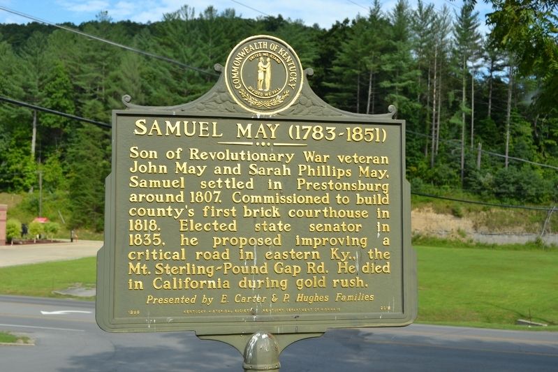
Samuel May (1783 - 1851)
Son of Revolutionary War veteran John May and Sarah Phillips May, Samuel settled in Prestonsburg around 1807. Commissioned to build county’s first brick courthouse in 1818. Elected state senator in 1835, he proposed improving a critical road in eastern Ky., the Mt. Sterling - Pound Gap Road. He died in California during gold rush.
(Side Two)
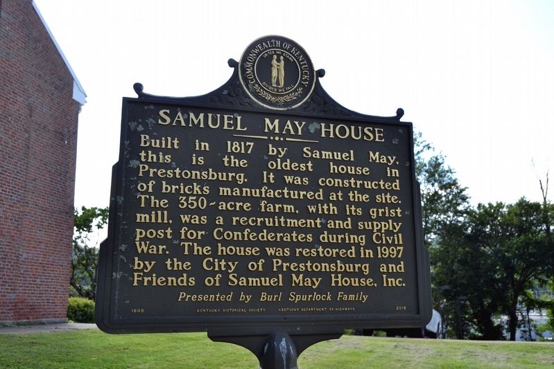
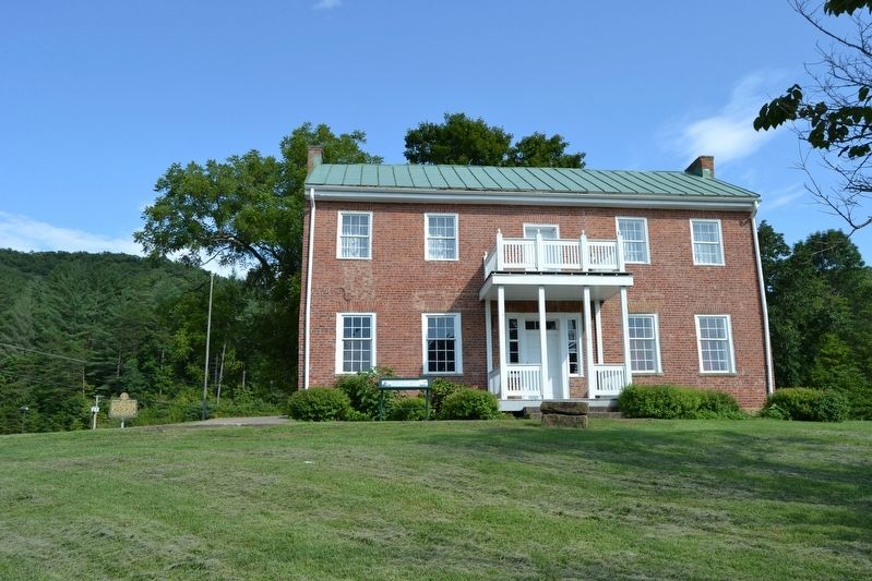
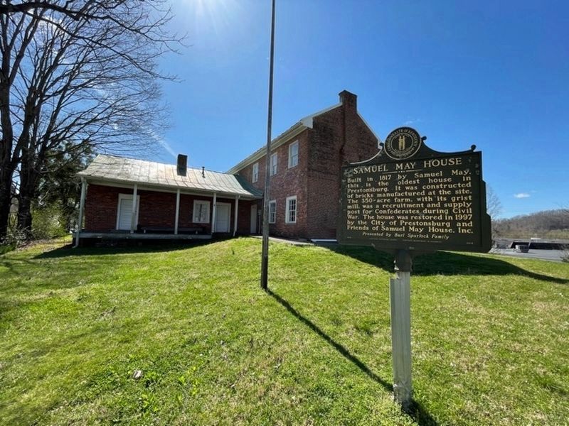
Samuel May House
Built in 1817 by Samuel May, this is the oldest house in Prestonsburg. It was constructed of bricks manufactured at the site. The 350-acre farm, with its grist mill, was a recruitment and supply post for Confederates during Civil War. The house was restored in 1997 by the City of Prestonsburg and Friends of Samuel May House, Inc.
Erected 1998 by Kentucky Historical Society, Kentucky Department of Highways. (Marker Number 2018.)
Topics and series. This historical marker is listed in these topic lists: Settlements & Settlers • War, US Civil. In addition, it is included in the Kentucky Historical Society series list. A significant historical year for this entry is 1807.
Location. 37° 41.002′ N, 82° 46.69′ W. Marker is in Prestonsburg, Kentucky, in Floyd County. Marker can be reached from the intersection of Porter Lane and Kentucky Highway 321, on the left when traveling west. Touch for map. Marker is in this post office area: Prestonsburg KY 41653, United States of America. Touch for directions.
Other nearby markers. At least 8 other markers are within 2 miles of this marker, measured as the crow flies. The May Farm (a few steps from this marker); Morgan’s Last Raid (approx. 0.9 miles away); The Burns House / A Brief History of the Garfield Place (approx. 0.9 miles away); County Named, 1799 (approx. 1.1 miles away); Greenville R. Davidson (approx. 1.1 miles away); Floyd County Veterans Memorial (approx. 1.1 miles away); Civil War Event (approx. 1.1 miles away); John Graham (approx. 1.1 miles away). Touch for a list and map of all markers in Prestonsburg.
Also see . . . Samuel May House - Wikipedia entry. (Submitted on August 28, 2016.)
Credits. This page was last revised on March 29, 2021. It was originally submitted on August 28, 2016, by Duane Hall of Abilene, Texas. This page has been viewed 640 times since then and 36 times this year. Photos: 1, 2, 3. submitted on August 28, 2016, by Duane Hall of Abilene, Texas. 4. submitted on March 28, 2021, by Frank Profitt of Georgetown, Kentucky.


