Bomoseen in Castleton in Rutland County, Vermont — The American Northeast (New England)
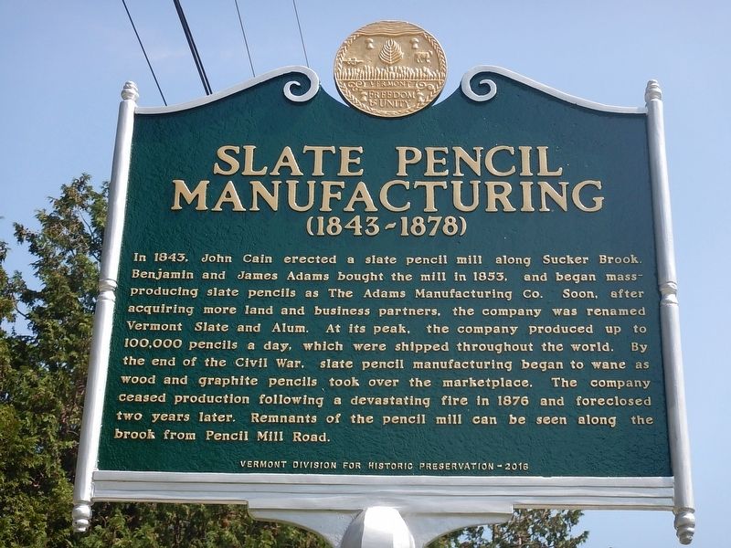
Slate Pencil Manufacturing
(1843-1878)
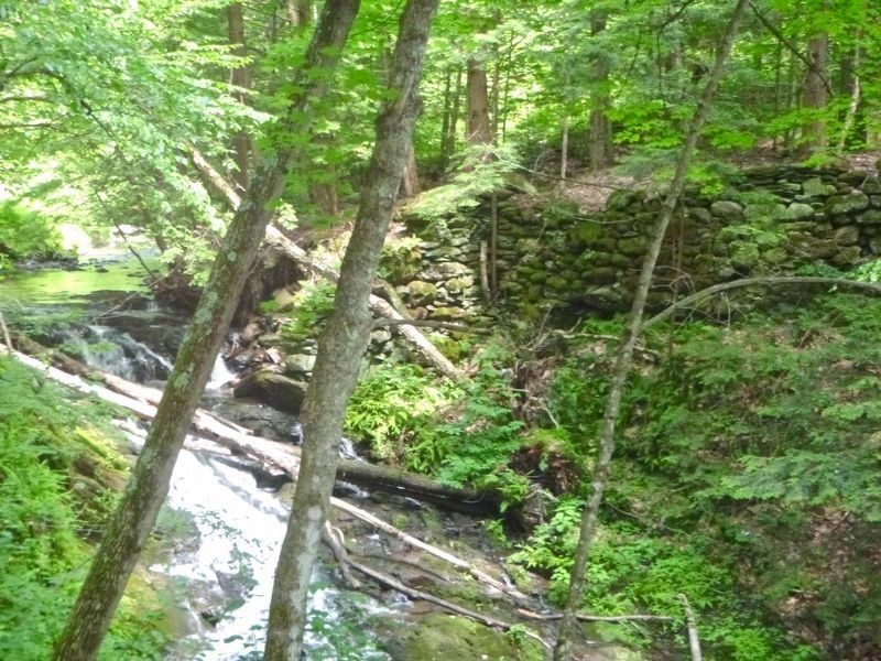
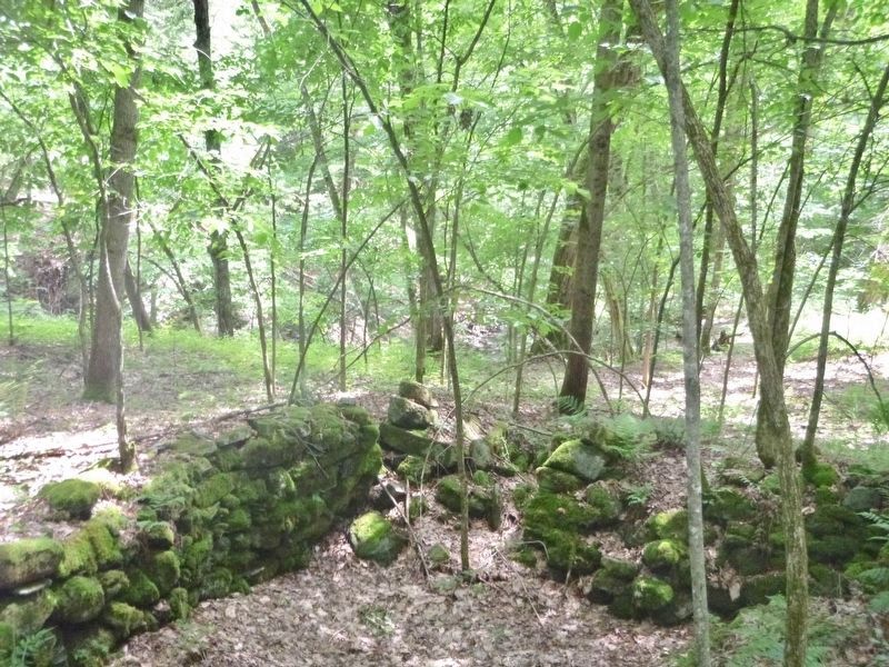
In 1843, John Cain erected a slate pencil mill along Sucker Brook. Benjamin and James Adams bought the mill in 1853, and began mass-producing slate pencils as the Adams Manufacturing Co. Soon, after acquiring more land and business partners, the company was renamed Vermont Slate and Alum. At its peak, the company produced up to 100,000 pencils a day, which were shipped throughout the world. By the end of the Civil War, slate pencil manufacturing began to wane as wood and graphite pencils took over the marketplace. The company ceased production following a devastating fire in 1876 and foreclosed two years later. Remnants of the pencil mill can be seen along the brook from Pencil Mill Road.
Erected 2016 by Vermont Division for Historic Preservation.
Topics. This historical marker is listed in this topic list: Industry & Commerce. A significant historical year for this entry is 1843.
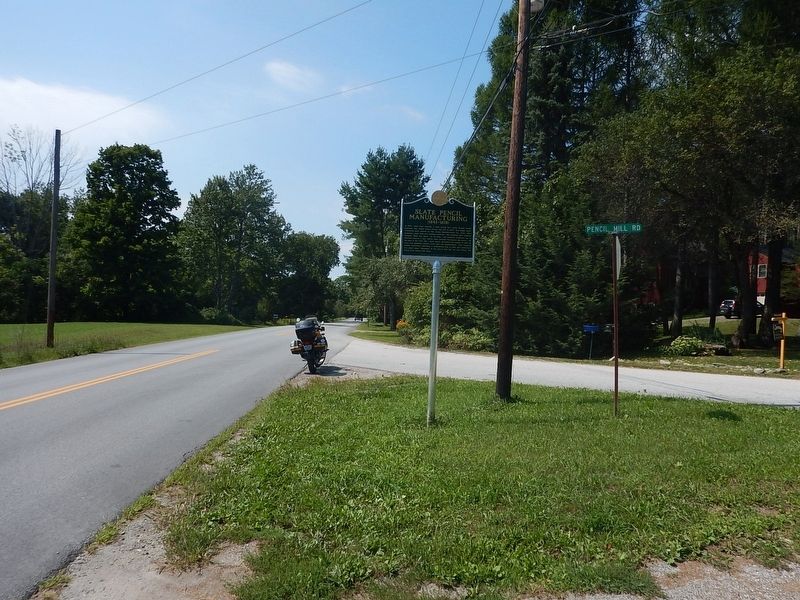
Location. 43° 39.767′ N, 73° 11.18′ W. Marker is in Castleton, Vermont, in Rutland County. It is in Bomoseen. Marker is at the intersection of North Road and Pencil Mill Road, on the right when traveling west on North Road. Touch for map. Marker is in this post office area: Castleton VT 05735, United States of America. Touch for directions.
Other nearby markers. At least 8 other markers are within 4 miles of this marker, measured as the crow flies. British Flank Near Mt. Zion (approx. 3.2 miles away); British Flank The Americans (approx. 3.2 miles away); The Selleck Cabin (approx. 3.2 miles away); Monument Hill And The Morning Charge (approx. 3.2 miles away); Beginnings of the Battle (approx. 3.2 miles away); Germans Arrive, Americans Retreat (approx. 3.3 miles away); Hubbardton Battle Monument (approx. 3.3 miles away); Battle of Hubbardton (approx. 3.3 miles away).
Credits. This page was last revised on February 16, 2023. It was originally submitted on August 29, 2016, by Kevin Craft of Bedford, Quebec. This page has been viewed 1,010 times since then and 76 times this year. Photos: 1, 2. submitted on August 29, 2016, by Kevin Craft of Bedford, Quebec. 3, 4. submitted on June 19, 2017, by Dennis Gilkenson of Saxtons River, Vermont.


