Sioux Falls in Minnehaha County, South Dakota — The American Midwest (Upper Plains)
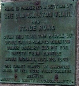
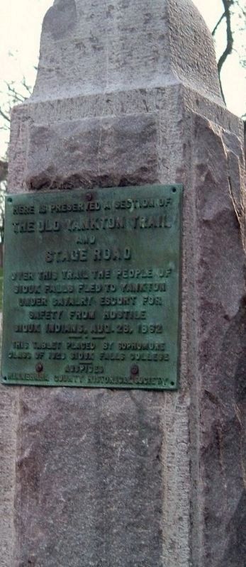
The Old Yankton Trail and Stage Road
Over this trail the people of Sioux Falls fled to Yankton under cavalry escort for safety from hostile Sioux Indians, Aug. 28, 1862
Erected 1926 by Sophomore Class of the 1926 Sioux Falls College Minnehaha County Historical Society.
Topics. This historical marker is listed in these topic lists: Native Americans • Roads & Vehicles • Settlements & Settlers • Wars, US Indian. A significant historical date for this entry is August 28, 1862.
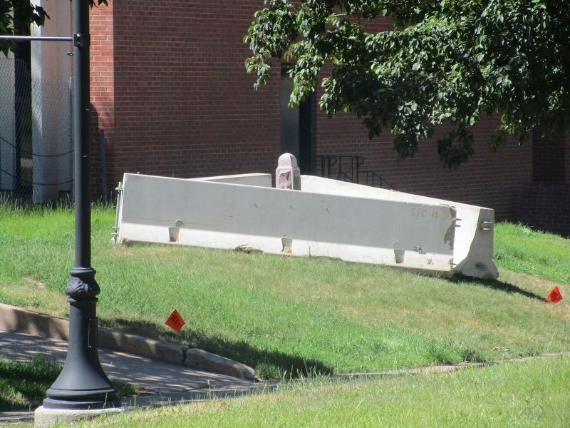
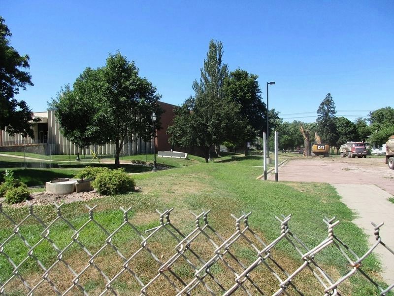
Location. 43° 31.951′ N, 96° 44.261′ W. Marker is in Sioux Falls, South Dakota, in Minnehaha County. Marker is on West 22nd street, on the left when traveling west. marker is on the campus of the University of Sioux Falls , behind the Norman B. Mears Library, currently (2016) surrounded by a construction site. Touch for map. Marker is at or near this postal address: 1101 West 22nd Street, Sioux Falls SD 57105, United States of America. Touch for directions.
Other nearby markers. At least 8 other markers are within walking distance of this marker. AAUW Sioux Falls Branch (within shouting distance of this marker); Lowell School (approx. 0.3 miles away); An Institution of Organized Kindness (approx. 0.4 miles away); Drs. Van Demark (approx. 0.4 miles away); Land Grant (approx. 0.4 miles away); Mammoth: Denizen of the Ice (approx. half a mile away); Moses (approx. half a mile away); From Glory to Glory (approx. 0.6 miles away). Touch for a list and map of all markers in Sioux Falls.
Credits. This page was last revised on August 30, 2016. It was originally submitted on August 29, 2016, by Rev. Ronald Irick of West Liberty, Ohio. This page has been viewed 692 times since then and 39 times this year. Photos: 1, 2, 3, 4. submitted on August 29, 2016, by Rev. Ronald Irick of West Liberty, Ohio. • Bill Pfingsten was the editor who published this page.


