Ballpark District in Denver in Denver County, Colorado — The American Mountains (Southwest)
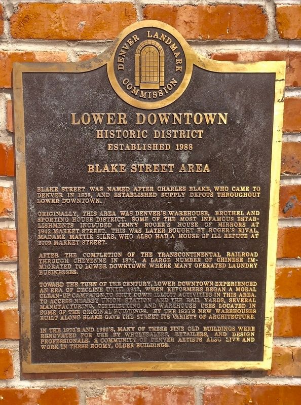
Blake Street Area
Lower Downtown Historic District
— Established 1988 —
Originally, the area was Denver's warehouse, brothel, and sporting house district. Some of the most infamous establishments included Jenny Roger's House of Mirrors at 1942 Market Street. This was later bought by Roger's rival, Madame Mattie Silks, who also had a house of ill repute at 2009 Market Street.
After the completion of the transcontinental railroad through Cheyenne in 1871, a large number of Chinese immigrated to Lower Downtown where many operated laundry businesses.
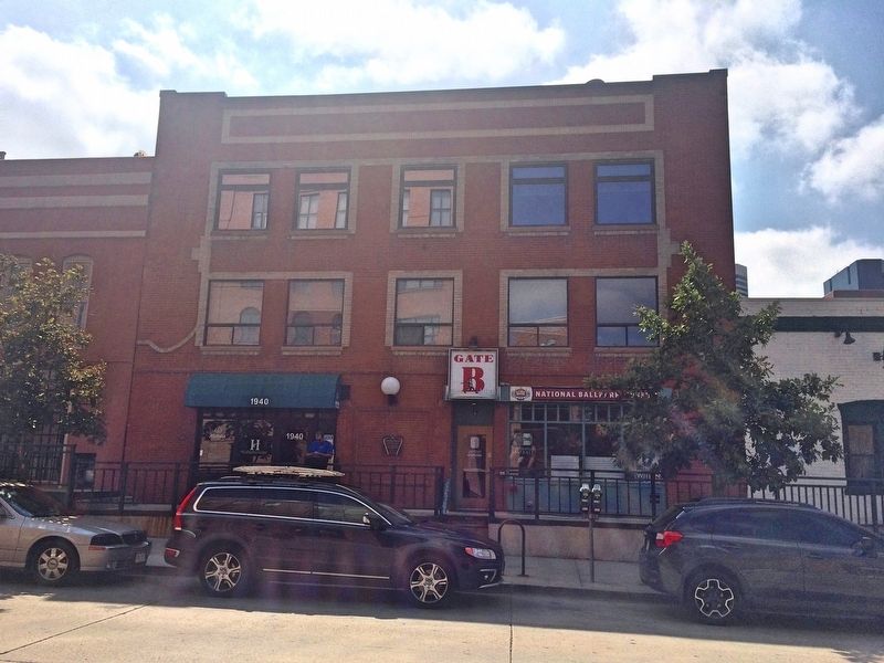
Toward the turn of the century, Lower Downtown experienced an era of decline until 1912, when reformers began a moral clean-up campaign to shut down illicit activities in this area. To access nearby Union Station and the rail yards, several manufacturing, distributing and warehouse uses located in some of the original buildings. By the 1920's, new warehouses built along Blake Street gave the street its variety of architecture.
In the 1970's and 1980's, many of these fine old buildings were renovated for use by wholesalers, retailers, and design professionals. A community of Denver artists also live and work in these roomy, older buildings.
Erected by the Denver Landmark Commission.
Topics. This historical marker is listed in these topic lists: Entertainment • Industry & Commerce • Landmarks • Notable Places. A significant historical year for this entry is 1858.
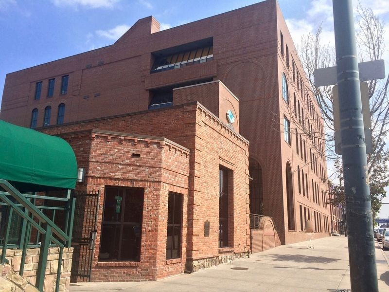
Location. 39° 45.238′ N, 104° 59.698′ W. Marker is in Denver, Colorado, in Denver County. It is in the Ballpark District. Marker is on Blake Street west of 20th Street, on the right when traveling west. Touch for map. Marker is at or near this postal address: 1925 Blake Street, Denver CO 80202, United States of America. Touch for directions.
Other nearby markers. At least 8 other markers are within walking distance of this marker. Windsor Farm Dairy Building / The Crocker Cracker Factory (about 300 feet away, measured in a direct line); Red Light District Market Street (about 400 feet away); The House of Mirrors (about 400 feet away); Merchandise Mart (about 500 feet away); General Electric Building (about 700 feet away); The Reverend Yoshitaka Tamai (approx. 0.2 miles away); 18th St. Atrium / Littleton Creamery Beatrice Cold Storage Warehouse (approx. 0.2 miles away); Warehouses (approx. 0.2 miles away). Touch for a list and map of all markers in Denver.
Related marker. Click here for another marker that is related to this marker.
Credits. This page was last revised on February 7, 2023. It was originally submitted on August 31, 2016, by Mark Hilton of Montgomery, Alabama. This page has been viewed 1,409 times since then and 223 times this year. Photos: 1, 2, 3. submitted on August 31, 2016, by Mark Hilton of Montgomery, Alabama.


