Prestonsburg in Floyd County, Kentucky — The American South (East South Central)
The May Farm
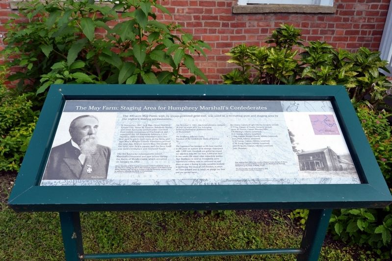
Staging Area for Humphrey Marshall's Confederates
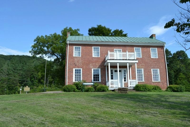
In September 1861, Jack May, Hiram Hawkins, Ezekial Clay, James M. Thomas, Benjamin Desha, and other Kentucky secessionists marched their militia companies to this location and organized the 5th Kentucky Infantry, C.S.A. Hawkins’ Bath County volunteers were the first men to pitch their tents at the farm, and Jack May’s Morgan County volunteers arrived the next day. William James May, the owner of the farm, was Jack’s cousin, and the farm itself was Jack’s birthplace and boyhood home.
The 5th Kentucky subsequently joined Marshall’s command and saw action during the Battle of Middle Creek, which occurred on January 10, 1862.
On October 2, 1861, the Confederates camped at this location sent the following letter to President Jefferson Davis in Richmond:
His Excellency Jefferson Davis,
President of the Confederate States of America
Sir:
Our Legislature has betrayed us. We have marched to this point on account of its strategic importance with 1,000 men. Hundreds are gathering around our standard daily. We can have 5,000 men here in two weeks. We would most respectfully petition Your Excellency to send us immediately some experienced military man to command us, and place us upon a footing to make ourselves available in furthering the cause of civil freedom, in which we have enlisted, and to which we pledge our lives and our sacred honor.
Ben Desha, Captain of Light Infantry Company (armed).
E.F. Clay, Captain of Cavalry Company (armed).
James M. Thomas, Captain Mounted Rifles.
T.R. Worsham, Infantry (unarmed).
H.C. Swango, Infantry (unarmed).
J. May, Captain Morgan Guards, Infantry (unarmed).
Jesse Meek, Infantry (unarmed).
G.W. Connor, Captain, Infantry (unarmed).
G.M. Ewing, Captain, Infantry (unarmed).
John W. Sparks, Captain, Infantry (unarmed).
John Shawhan.
Topics. This historical marker is listed in this topic list: War, US Civil. A significant historical month for this entry is September 1861.
Location. 37° 41′ N, 82° 46.702′ W. Marker is in Prestonsburg, Kentucky, in Floyd County. Marker can be reached from the intersection of Porter Lane and Kentucky Highway 321, on the left when traveling west. Touch for map. Marker is in this post office area: Prestonsburg KY 41653, United States of America. Touch for directions.
Other nearby markers. At least 8 other markers are within 2 miles of this marker, measured as the crow flies. Samuel May / Samuel May House (a few steps from this marker); Morgan’s Last Raid (approx. 0.9 miles away); The Burns House / A Brief History of the Garfield Place (approx. 0.9 miles away); County Named, 1799 (approx. 1.1 miles away); Greenville R. Davidson (approx. 1.1 miles away); Civil War Event (approx. 1.1 miles away); Floyd County Veterans Memorial (approx. 1.1 miles away); John Graham (approx. 1.1 miles away). Touch for a list and map of all markers in Prestonsburg.
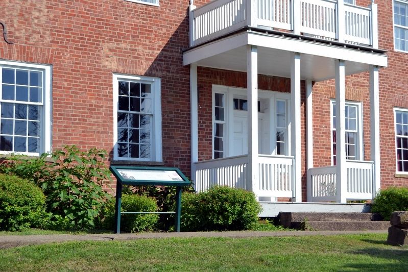
More about this marker. The marker includes a portrait image of Hiram Hawkins; a photo of the Samuel May House in 1936; and a map showing May’s Mill at the mouth of Abbott Creek, the John M. Burns House at the mouth of Middle Creek, and the Middle Creek National Battlefield at the Forks of Middle Creek.
Credits. This page was last revised on March 29, 2021. It was originally submitted on September 1, 2016, by Duane Hall of Abilene, Texas. This page has been viewed 444 times since then and 30 times this year. Photos: 1, 2. submitted on September 1, 2016, by Duane Hall of Abilene, Texas. 3. submitted on August 28, 2016, by Duane Hall of Abilene, Texas.


