Mayfield in Fulton County, New York — The American Northeast (Mid-Atlantic)
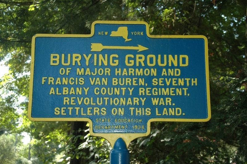
Burying Ground
Francis Van Buren, Seventh
Albany County Regiment,
Revolutionary War.
Settlers On This Land.
Erected 1936 by New York State Education Department.
Topics. This historical marker is listed in these topic lists: Cemeteries & Burial Sites • Settlements & Settlers • War, US Revolutionary.
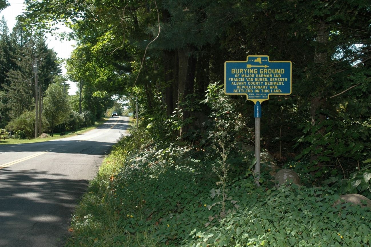
Location. 43° 5.54′ N, 74° 14.232′ W. Marker is in Mayfield, New York, in Fulton County. Marker is at the intersection of Vandenburgh Point Road and Highland Road, on the right when traveling south on Vandenburgh Point Road. Touch for map. Marker is in this post office area: Mayfield NY 12117, United States of America. Touch for directions.
Other nearby markers. At least 8 other markers are within 3 miles of this marker, measured as the crow flies. Munsonville (approx. 0.4 miles away); Mayfield Fort (approx. half a mile away); Romeyn's Mill (approx. 1.1 miles away); Mayfield Lake (approx. 1.1 miles away); Dutch Reformed Church of Mayfield (approx. 1˝ miles away); Anthonyville (approx. 1.8 miles away); Indian Raid (approx. 2 miles away); Rice Homestead (approx. 2.1 miles away). Touch for a list and map of all markers in Mayfield.
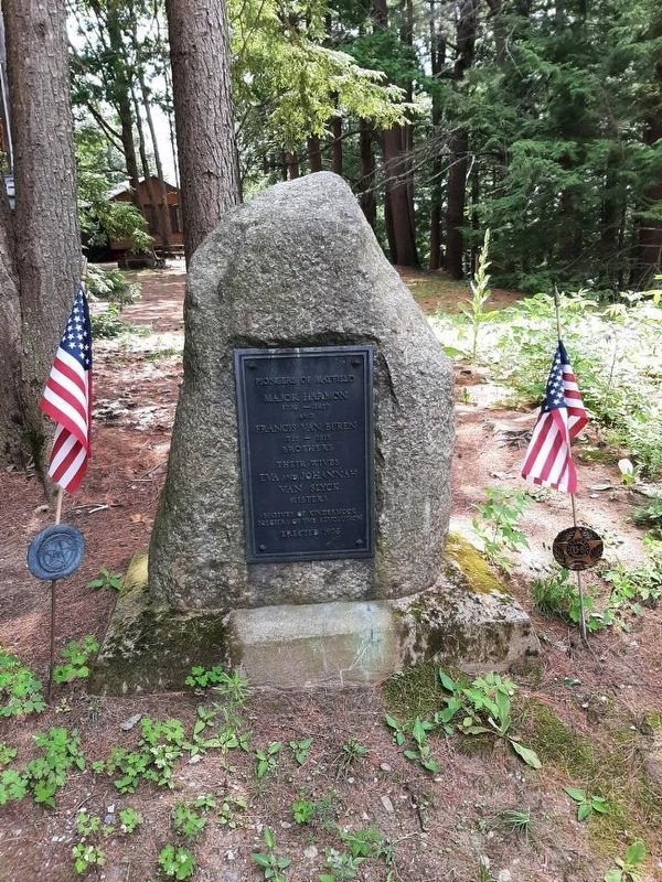
Regarding Burying Ground. This marker directs you up a narrow dirt road that leads to some summer camps. In the yard of one camp is a boulder with an inscription to Major Harmon and Francis Van Buren, both who settled here after the Revolution and were soldiers in the Albany County Militia. This grave site is on private land.
Credits. This page was last revised on July 10, 2021. It was originally submitted on September 5, 2016, by Howard C. Ohlhous of Duanesburg, New York. This page has been viewed 462 times since then and 18 times this year. Photos: 1. submitted on September 5, 2016, by Howard C. Ohlhous of Duanesburg, New York. 2. submitted on July 3, 2021, by Steven Hart of Johnstown, New York. 3. submitted on September 5, 2016, by Howard C. Ohlhous of Duanesburg, New York. • Bill Pfingsten was the editor who published this page.


