Near Prestonsburg in Floyd County, Kentucky — The American South (East South Central)
The Union Command Post
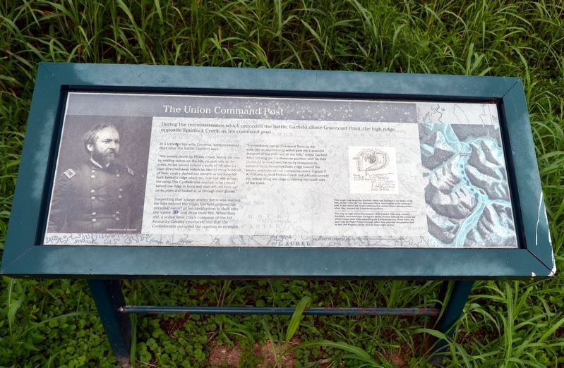
In a letter to his wife, Lucretia, written several days after the battle, Garfield says:
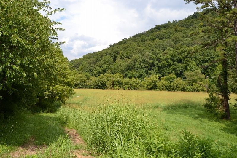
“We moved slowly up Middle Creek, feeling our way by sending scouts on the hills on each side of the creek. As we passed around a point of hill, where a plain stretched away before us, two or three hundred of their cavalry dashed out toward us but soon fell back behind a ridge which ran near half way across the valley. The Confederates seemed to be posted behind the ridge in force and their officers rode up on its point and looked at us through their glasses.”
Suspecting that a large enemy force was waiting for him behind the ridge, Garfield ordered his personal escort of ten cavalrymen to dash into the valley (1) and draw their fire. When they did, a volley from Clay’s company of the 1st Kentucky Cavalry convinced him that the Confederates occupied the position in strength.
“I immediately ran up Graveyard Point to the rock (A), an isolated crag which gave me a splendid prospect of the plain and all the hills,” wrote Garfield. After viewing the Confederate position with his field glasses, he ordered two Kentucky companies to advance along Graveyard Point ridge toward the enemy and ordered two companies under Captain F.A. Williams to ford Middle Creek and advance toward the enemy along the ridge bordering the south side of the creek.
(Illustration Caption)
This rough map drawn by Garfield, which was included in his letter to his wife, shows “rock (A)” on Graveyard Point, the location of his command post. It also shows the routes taken by the various Union assault parties when they charged the Confederate position.
(Map Caption)
The map at right shows the location of Graveyard Point (top center), Garfield’s command post during the battle. Arrows indicate the routes the Union troops took when assaulting the Confederate line. Piney Point, the spur used by Major Pardee’s troops when they attacked the position held by the 29th Virginia, can be seen at lower right center.
Topics. This historical marker is listed in this topic list: War, US Civil. A significant historical date for this entry is January 10, 1862.
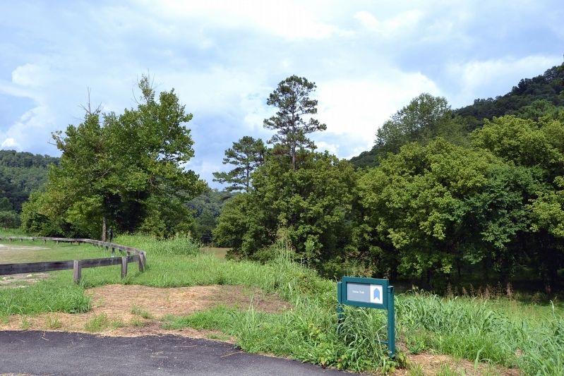
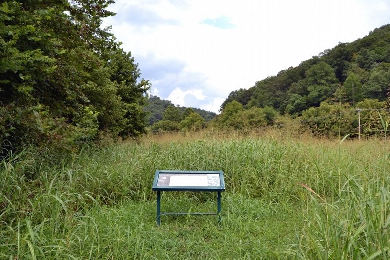
Location. 37° 39.092′ N, 82° 48.738′ W. Marker is near Prestonsburg, Kentucky, in Floyd County. Marker can be reached from State Highway 114, 0.1 miles east of State Highway 404. Marker is located on the Union Trail at the Middle Creek National Battlefield; the above directions are to the battlefield parking area. Touch for map.
Marker is in this post office area: Prestonsburg KY 41653, United States of America. Touch for directions.
Other nearby markers. At least 8 other markers are within walking distance of this marker. The Union Assault (within shouting distance of this marker); Monroe's Bayonet Charge Wins the Battle (about 400 feet away, measured in a direct line); The Battle of Middle Creek / The Fitzpatrick Farm (about 500 feet away); The Battle of Middle Creek (about 500 feet away); Why They Fought Here (about 500 feet away); Eastern Kentucky's Civil War Battles and Skirmishes, 1863-1864 (about 500 feet away); Kentucky Blue Blood versus Ohio Self-Made Man (about 500 feet away); Eastern Kentucky's Civil War Battles and Skirmishes, 1861-1862 (about 500 feet away). Touch for a list and map of all markers in Prestonsburg.
More about this marker. The marker includes a portrait image of Colonel James A. Garfield, a rough battlefield map drawn by Garfield, and a map showing the location of Graveyard Point and the route of the cavalry dash into the valley.
Also see . . . Middle Creek National Battlefield. Official website of the Middle Creek National Battlefield Foundation. (Submitted on September 7, 2016.)
Credits. This page was last revised on September 7, 2016. It was originally submitted on September 7, 2016, by Duane Hall of Abilene, Texas. This page has been viewed 286 times since then and 17 times this year. Photos: 1, 2, 3, 4. submitted on September 7, 2016, by Duane Hall of Abilene, Texas.


