Near Manassas in Prince William County, Virginia — The American South (Mid-Atlantic)
Fight at the Fenceline
— Second Battle of Manassas - Day Three - August 30, 1862 —
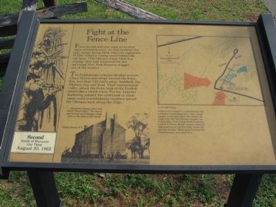
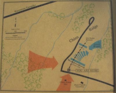
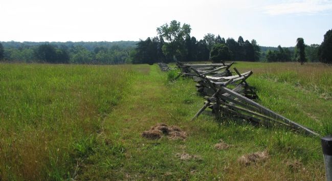
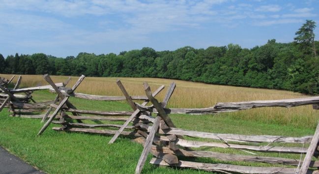
The Confederate columns divided around Chine House and swept toward the fence line, less than 100 yards away. Suddenly the Ohioans rose and fired. Their concentrated volley struck the front rank of the Confederates like a shock wave. For ten minutes deafening musket fire continued at close range until overwhelming numbers forced the Ohioans back along the ridge.
A Crucial Delay
Longstreet's massive counterattack had a chance to annihilate the Union Army, caught in the open after the repulse at Deep Cut, but the Ohioans bought the Union time. Now Union reinforcements rushed to Chinn Ridge; cannon wheeled into position on the far knoll where the pin oak stands. Those guns became the Confederate's next objective.
Topics. This historical marker is listed in this topic list: War, US Civil.
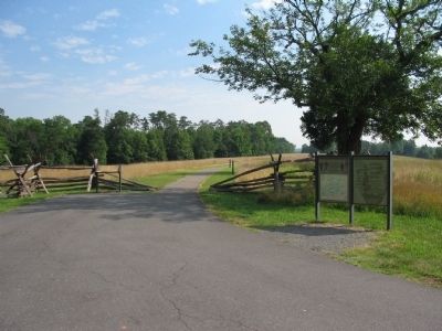
Location. Marker has been reported missing. It was located near 38° 48.422′ N, 77° 32.135′ W. Marker was near Manassas, Virginia, in Prince William County. Marker was at the intersection of Chinn Ridge Loop and Sudley Road (Virginia Road 234), on the right when traveling west on Chinn Ridge Loop. Located at the trail head for the Chinn Ridge Loop trail, in the Manassas National Battlefield Park. The trail starts at stop nine of the driving tour of the battlefield. This marker has been replaced by a new marker at the same location, entitled "Chinn Ridge.". Touch for map. Marker was in this post office area: Manassas VA 20109, United States of America. Touch for directions.
Other nearby markers. At least 8 other markers are within walking distance of this location. Chinn Ridge (a few steps from this marker); a different marker also named Chinn Ridge (within shouting distance of this marker); Kemper's Brigade (within shouting distance of this marker); 73rd Ohio Infantry (about 300 feet away, measured in a direct line); Fight at the Fence Line (about 300 feet away); Hazel Plain (about 400 feet away); Second Brigade (about 800 feet away); a different marker also named Kemper's Brigade (approx. 0.2 miles away). Touch for a list and map of all markers in Manassas.
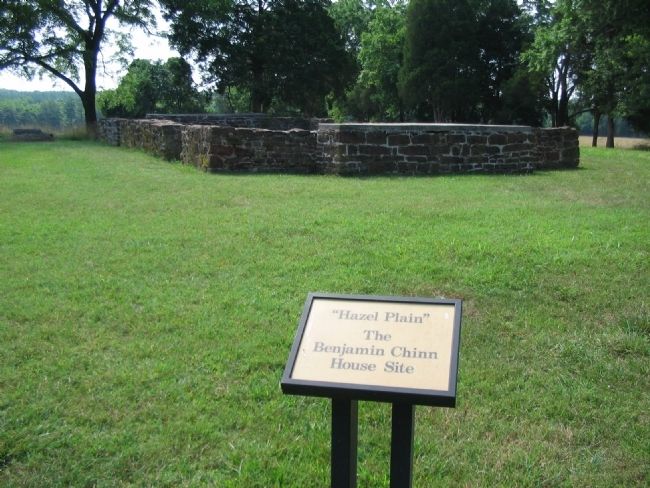
More about this marker. In the lower left is a photo of Chinn House, circa 1871. Benjamin Chinn's farm was called "Hazel Plain." The house and several outbuildings stood here at the time of the battle. On the far left is a drawing depicting the Ohioans firing from behind a fence line. On the upper right is a battle map illustrating the action described in the text.
Related markers. Click here for a list of markers that are related to this marker. Virtual Tour by Markers of the Chinn Ridge Loop Trail
Additional commentary.
1. McLean's Brigade
The "Ohioans" mentioned on the marker were from McLean's Brigade, consisting of the 25th, 55th, 73rd, and 75th Ohio Volunteer Infantry.
— Submitted August 1, 2008, by Craig Swain of Leesburg, Virginia.
Credits. This page was last revised on June 16, 2016. It was originally submitted on July 31, 2008, by Craig Swain of Leesburg, Virginia. This page has been viewed 1,426 times since then and 33 times this year. Photos: 1, 2, 3, 4. submitted on July 31, 2008, by Craig Swain of Leesburg, Virginia. 5, 6. submitted on August 1, 2008, by Craig Swain of Leesburg, Virginia.
