Near Thermopolis in Hot Springs County, Wyoming — The American West (Mountains)
Smoky Row Settlement
Inscription.
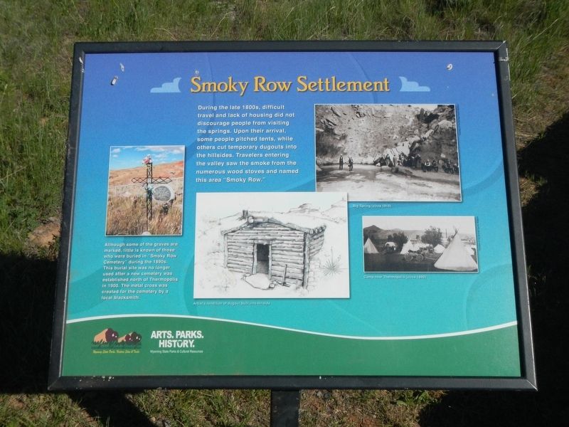
During the late 1800s, difficult travel and lack of housing did not discourage people from visiting the springs. Upon their arrival, some people pitched tents, while others cut temporary dugouts into the hillsides. Travelers entering the valley saw the smoke from the numerous wood stoves and named this area “Smoky Row.”
Although some of the graves are marked, little is known of those who were buried in “Smoky Row” Cemetery during the 1890s. This burial site was no longer used after a new cemetery was established north of Thermopolis in 1900. The metal cross was created for the cemetery by a local blacksmith.
Erected by Wyoming State Parks and Cultural Resources.
Topics. This historical marker is listed in this topic list: Settlements & Settlers. A significant historical year for this entry is 1900.
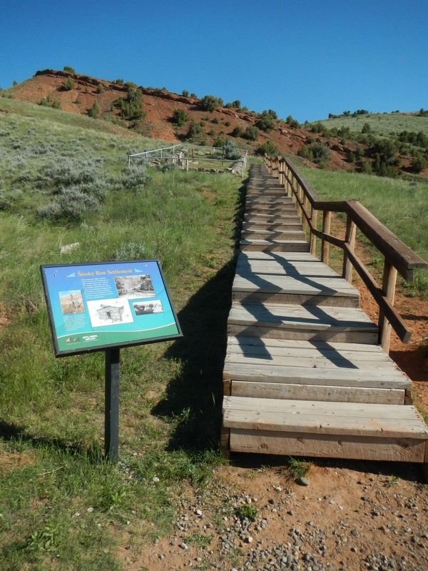
Location. 43° 39.166′ N, 108° 11.472′ W. Marker is near Thermopolis, Wyoming, in Hot Springs County. Marker is on Buffalo Street near Arapahoe Road, on the left when traveling south. Touch for map. Marker is at or near this postal address: 420 Buffalo Street, Thermopolis WY 82443, United States of America. Touch for directions.
Other nearby markers. At least 8 other markers are within walking distance of this marker. Smoky Row Cemetery (within shouting distance of this marker); a different marker also named Smoky Row Cemetery (within shouting distance of this marker); Joe Sneider Point (approx. 0.2 miles away); Healing Waters (approx. 0.2 miles away); "The Hot Springs" (approx. 0.2 miles away); Geology of Hot Springs (approx. ¼ mile away); Washakie's Bath House (approx. ¼ mile away); 1916 Swinging Bridge (approx. 0.3 miles away). Touch for a list and map of all markers in Thermopolis.
More about this marker. This marker is located in Hot Springs State Park near Thermopiles, Wyoming.
Credits. This page was last revised on September 12, 2016. It was originally submitted on September 12, 2016, by Barry Swackhamer of Brentwood, California. This page has been viewed 380 times since then and 20 times this year. Photos: 1, 2. submitted on September 12, 2016, by Barry Swackhamer of Brentwood, California.

