Marksville in Avoyelles Parish, Louisiana — The American South (West South Central)
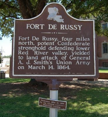
Fort De Russy
Lower Plaque
Dedicated June 13, 1954
By the Central Louisiana Historical Society
Erected 1954 by Louisiana Department of Commerce and Industry.
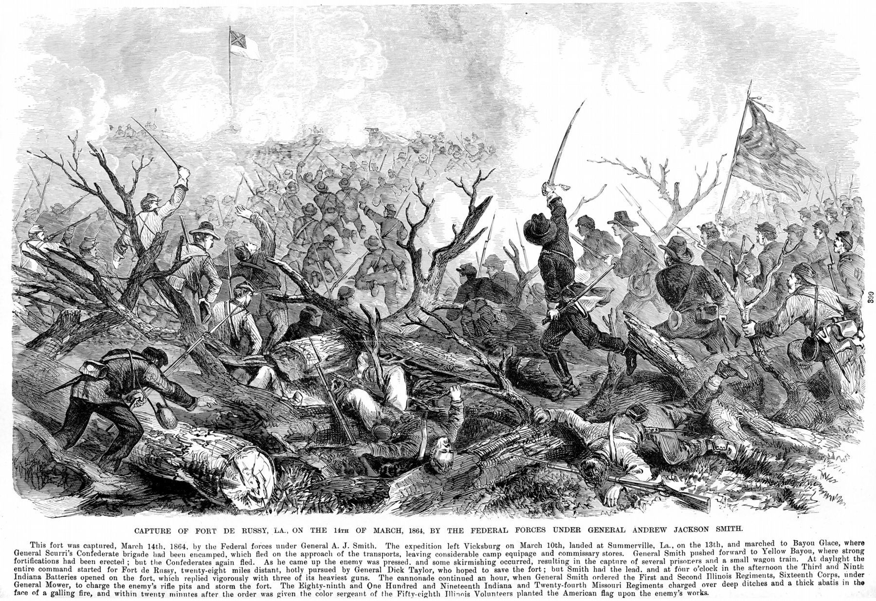
Topics and series. This historical marker is listed in these topic lists: Forts and Castles • War, US Civil. In addition, it is included in the Louisiana, Marksville Historical Markers Driving Tour series list. A significant historical date for this entry is March 14, 1864.
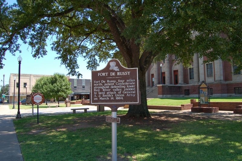
Location. 31° 7.635′ N, 92° 3.966′ W. Marker is in Marksville, Louisiana, in Avoyelles Parish. Marker is at the intersection of North Main Street (State Highway 107/115) and East Mark Street, on the right when traveling north on North Main Street. Located on the grounds of the Avoyelles Parish Courthouse. Touch for map. Marker is at or near this postal address: 312 N Main St, Marksville LA 71351, United States of America. Touch for directions.
Other nearby markers. At least 8 other markers are within walking distance of this marker. Louisiana's Atchafalaya Basin (a few steps from this marker); The First Bowie Knife (a few steps from this marker); Laborde Building (within shouting distance of this marker); Solomon Northup, "Twelve Years a Slave" (within shouting distance of this marker); Founding Of Marksville (within shouting distance of this marker); Bailey Theater (within shouting distance of this marker); Lewis P. Roy, Sr. Building (within shouting distance of this marker); Maxwell Bordelon Law Office (about 300 feet away, measured in a direct line). Touch for a list and map of all markers in Marksville.
Also see . . .
1. Fort DeRussy (Louisiana). Wikipedia (Submitted on September 16, 2016.)
2. Battle of Fort De Russy. Wikipedia (Submitted on September 16, 2016.)
Credits. This page was last revised on September 1, 2023. It was originally submitted on September 15, 2016. This page has been viewed 768 times since then and 19 times this year. Photos: 1, 2. submitted on September 15, 2016. 3. submitted on January 22, 2021, by Allen C. Browne of Silver Spring, Maryland. • Bernard Fisher was the editor who published this page.


