Near Ten Sleep in Washakie County, Wyoming — The American West (Mountains)
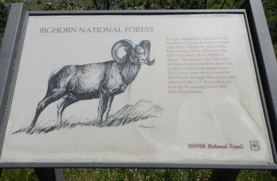
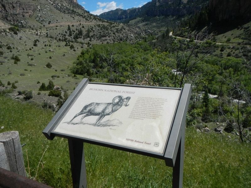
Bighorn National Forest
Erected by Bighorn National Forest.
Topics. This historical marker is listed in these topic lists: Animals • Natural Resources.
Location. 44° 5.142′ N, 107° 18.64′ W. Marker is near Ten Sleep, Wyoming, in Washakie County. Marker is on U.S. 16 at milepost 36, on the right when traveling east. Touch for map. Marker is in this post office area: Ten Sleep WY 82442, United States of America. Touch for directions.
Other nearby markers. At least 8 other markers are within 10 miles of this marker, measured as the crow flies. Leigh Creek Monument (approx. 0.7 miles away); Tensleep Canyon (approx. ¾ mile away); Fire Lookouts (approx. 7.1 miles away); Ten Sleep Memorial (approx. 7.6 miles away); Died in the Line of Duty (approx. 7.6 miles away); Company 841 (approx. 7.6 miles away); Site of South Wagon (approx. 9.8 miles away); Spring Creek Raid (approx. 9.8 miles away). Touch for a list and map of all markers in Ten Sleep.
Credits. This page was last revised on September 17, 2016. It was originally submitted on September 17, 2016, by Barry Swackhamer of Brentwood, California. This page has been viewed 392 times since then and 10 times this year. Photos: 1, 2. submitted on September 17, 2016, by Barry Swackhamer of Brentwood, California.

