Paramount in Tonawanda in Erie County, New York — The American Northeast (Mid-Atlantic)
Tonawanda Rails to Trails
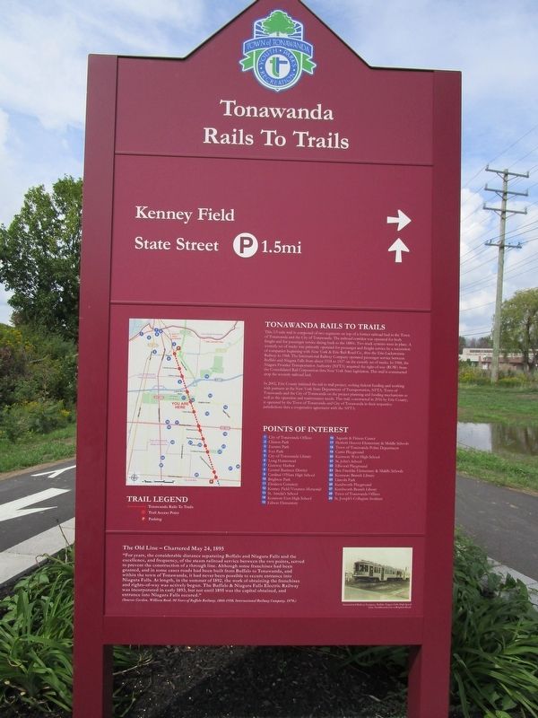
Tonawanda Rails to Trails
This 3.9 mile trail is composed of two segments on top of a former railroad bed in the Town of Tonawanda and the City of Tonawanda. The railroad corridor was operated for both freight and for passenger service dating back to the 1880s. Two track systems were in place. A westerly set of tracks was primarily operated for passenger and freight service by a succession of companies beginning with the New York & Erie Rail-Road Co., thru the Erie-Lackawanna Railway to 1968. The International Railway Company operated passenger service between Buffalo and Niagara Falls from about 1918 to 1937 on the easterly set of tracks. In 1988, the Niagara Frontier Transportation Authority (NFTA) acquired the right-of-way (ROW) from the Consolidated Rail Corporation thru New York State legislation. This trail is constructed atop the westerly railroad bed.
,br>In 2002, Erie County initiated the rail to trail project, seeking federal funding and working with partners at the New York State Department of Transportation, NFTA, Town of Tonawanda and the City of Toonawanda on the project planning and funding mechanisms as well as the operation and maintenance needs. This trail, constructed in 2016 by Erie County, is operated by the Town of Tonawanda and City of Tonawanda in their respective jurisdictions thru a cooperative agreement with the NFTA.
Points of Interest.
1) City of Tonawanda Offices. 2) Clinton Park. 3) Eastern Park. 4) Ives Park. 5) City of Tonawanda Library. 6) Long Homestead. 7) Gateway Harbor. 8) Central Business District. 9) Cardinal O'Hara High School. 10) Brighton Park. 11) Elmlawn Cemetery. 12) Kenny Field / Veterans Memorial. 13) St. Amelia's School. 14) Kenmore East High School. 15) Edison Elementary. 16) Aquatic & Fitness Center. 17) Herbert Hoover Elementary & Middle Schools. 18) Town of Tonawanda Police Department. 19) Curtis Playground. 20) Kenmore West High School. 21) St. John's School. 22) Ellwood Playground. 23) Ben Franklin Elementary & Middle Schools. 24) Kenmore Branch Library. 25) Lincoln Park. 26) Kenilworth Playground. 27) Kenilworth Branch Library. 28) Town of Tonawanda Offices. 29) St. Joseph's Collegiate Institute.
The Old Line - Chartered May 24, 1895.
"For years, the considerable distance separating Buffalo and Niagara Falls and the excellence, and frequency, of the steam railroad service between the two points, served to prevent the construction of a through line. Although some franchises had been granted, and in some cases road had been built from Buffalo to Tonawanda, and within the town of Tonawanda, it had never been possible to secure entrance into Niagara Falls. At length, in the summer of 1892, the work of obtaining the franchises and
rights-of-way was actively begun. The Buffalo & Niagara Falls Electric Railway was incorporated in early 1893, but not until 1895 was the capital obtained, and entrance into Niagara Falls secured"
(Sources: Gordon, William Reed, 90 Years of Buffalo Railway, 1860-1950, International Railway Company, 1970.)
[picture] International Railway Company, Buffalo Niagara Falls High Speed Line, Northbound train at Brighton Road.
Erected 2016.
Topics. This historical marker is listed in this topic list: Railroads & Streetcars. A significant historical date for this entry is May 24, 1895.
Location. 42° 59.475′ N, 78° 51.32′ W. Marker is in Tonawanda, New York, in Erie County. It is in Paramount. Marker is on Brighton Road, 0.1 miles west of Colvin Boulevard, on the right when traveling west. Touch for map. Marker is in this post office area: Tonawanda NY 14150, United States of America. Touch for directions.
Other nearby markers. At least 8 other markers are within 2 miles of this marker, measured as the crow flies. Town of Tonawanda Veterans Memorial (about 500 feet away, measured in a direct line); Sheridan Drive (approx. 1.1 miles away); Burial Land Since 1816 (approx. 1.1 miles away); Louis P.A. Eberhardt Home (approx. 1.2 miles away); German Evangelical Church (approx. 1.2 miles away); St. John's Cemetery (approx. 1.4
miles away); First Railroad (approx. 1.6 miles away); Kenmore-Tonawanda Honors the Memory (approx. 2.1 miles away). Touch for a list and map of all markers in Tonawanda.
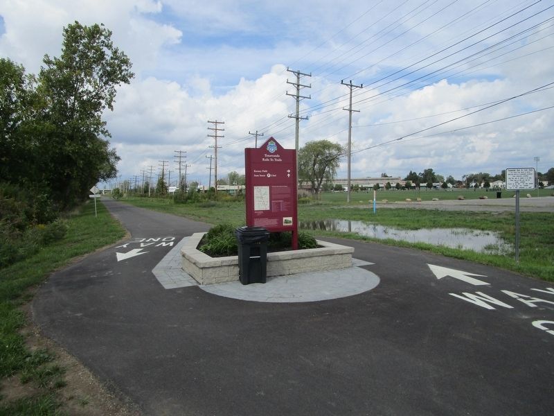
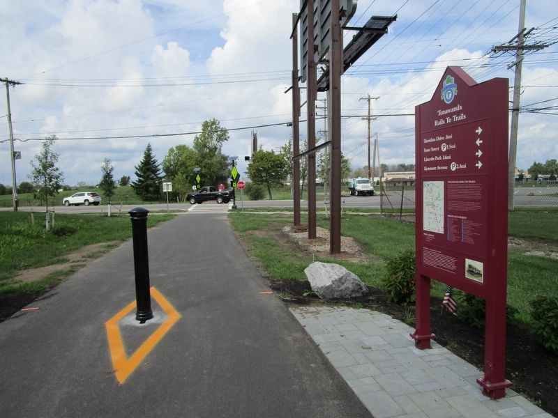
More about this marker. Identical markers are at either side of Brighton Road, except for the "arrow" directions beneath the marker title.
Credits. This page was last revised on February 16, 2023. It was originally submitted on September 19, 2016, by Anton Schwarzmueller of Wilson, New York. This page has been viewed 369 times since then and 22 times this year. Photos: 1, 2, 3. submitted on September 19, 2016, by Anton Schwarzmueller of Wilson, New York.


