Near Devils Tower in Crook County, Wyoming — The American West (Mountains)
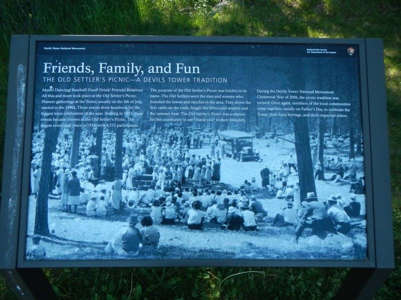
Friends, Family, and Fun
The Old Settler's Picnic - A Devils Tower Tradition
The purpose of the Old Settler's Picnic was hidden in its name. The Old Settlers were the men and women who founded the towns and ranches in the area. They drove the first cattle on the trails, The Old Settler's Picnic was a chance for the community to say "thank you" to their founders.
During the Devils Tower National Monument Centennial Year of 2006, the picnic was revived. Once again, members of the local communities come together, usually on Father's Day, to celebrate the Tower, their local heritage, and their respected elders.
Erected by U.S. Department of the Interior, National Park Service.
Topics. This historical marker is listed in this topic list: Notable Events. A significant historical year for this entry is 1932.
Location. 44° 35.412′ N, 104° 43.176′ W. Marker is near Devils Tower, Wyoming, in Crook County. Marker is on Devils Tower National Monument Road. Touch for map. Marker is in this post office area: Devils Tower WY 82714, United States of America. Touch for directions.
Other nearby markers. At least 8 other markers are within walking distance of this marker. Devils Tower ... the first National Monument (here, next to this marker); How Did the Tower Form? (about 500 feet away, measured in a direct line); Buried Tower (about 500 feet away); People of the Land (about 700 feet away); Bountiful Land (about 800 feet away); Reach for the Top (approx. ¼ mile away); Many Meanings for Many People (approx. 0.3 miles away); Daredevil Stunt (approx. 0.3 miles away). Touch for a list and map of all markers in Devils Tower.
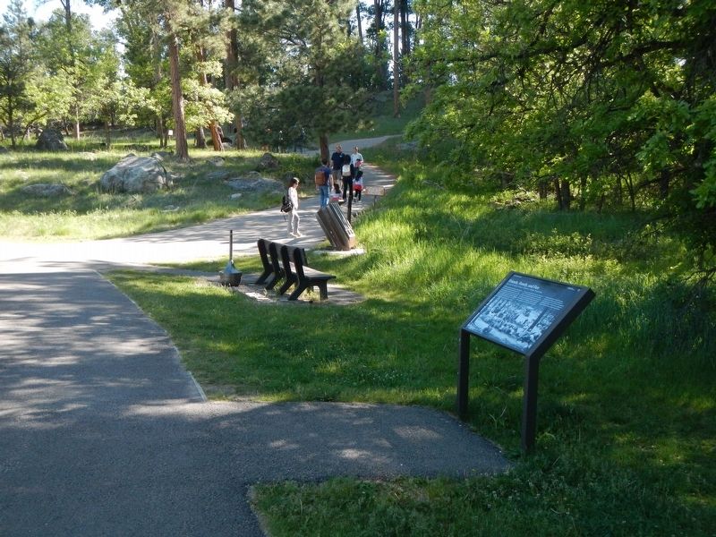
More about this marker. This marker is located in Devils Tower Visitors Center parking lot near the Tower Trail trailhead.
Credits. This page was last revised on September 20, 2016. It was originally submitted on September 20, 2016, by Barry Swackhamer of Brentwood, California. This page has been viewed 336 times since then and 17 times this year. Photos: 1, 2. submitted on September 20, 2016, by Barry Swackhamer of Brentwood, California.

