Near Devils Tower in Crook County, Wyoming — The American West (Mountains)
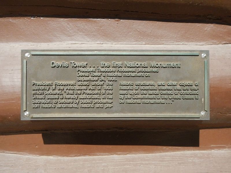
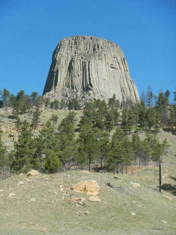
Devils Tower ... the first National Monument
Inscription.
President Theodore Roosevelt proclaimed Devils Tower a national monument on September 24, 1906.
President Roosevelt acted under the authority of of the Antiquities Act of 1906 which declared, "that the President of the United States is hereby authorized, in his discretion, to declare by public proclamation historic landmarks, historic and pre-historic structures, and other objects of historic or scientific interest that are situated upon the lands owned or controlled by the Government of the United States to be national monuments..."
Topics and series. This historical marker and monument is listed in this topic list: Natural Features. In addition, it is included in the Former U.S. Presidents: #26 Theodore Roosevelt series list. A significant historical date for this entry is September 24, 1906.
Location. 44° 35.412′ N, 104° 43.176′ W. Marker is near Devils Tower, Wyoming, in Crook County. Marker is on Devils Tower National Monument Road, on the right when traveling south. Touch for map. Marker is in this post office area: Devils Tower WY 82714, United States of America. Touch for directions.
Other nearby markers. At least 8 other markers are within walking distance of this marker. Friends, Family, and Fun (here, next to this marker); How Did the Tower Form? (about 500 feet away, measured in a direct line); Buried Tower (about 500 feet away); People of the Land (about 700 feet away); Bountiful Land (about 800 feet away); Reach for the Top (approx. ¼ mile away); Many Meanings for Many People (approx. 0.3 miles away); Daredevil Stunt (approx. 0.3 miles away). Touch for a list and map of all markers in Devils Tower.
More about this monument. This marker is in Devils Tower National Monument mounted on the side of the Visitors Center.
Credits. This page was last revised on August 1, 2020. It was originally submitted on September 20, 2016, by Barry Swackhamer of Brentwood, California. This page has been viewed 408 times since then and 22 times this year. Photos: 1, 2. submitted on September 21, 2016, by Barry Swackhamer of Brentwood, California.
Editor’s want-list for this marker. Overview showing the marker on the side of the Visitors Center • Can you help?

