Winnemucca in Humboldt County, Nevada — The American Mountains (Southwest)
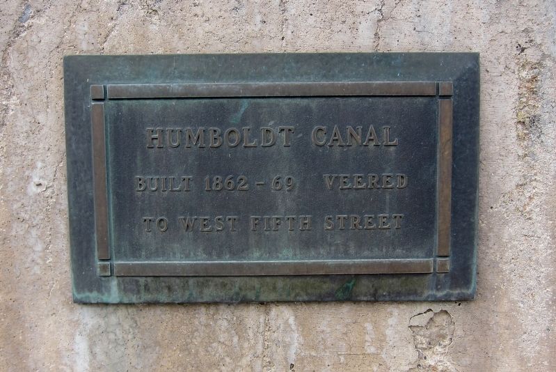
Humboldt Canal
Topics. This historical marker is listed in these topic lists: Industry & Commerce • Waterways & Vessels.
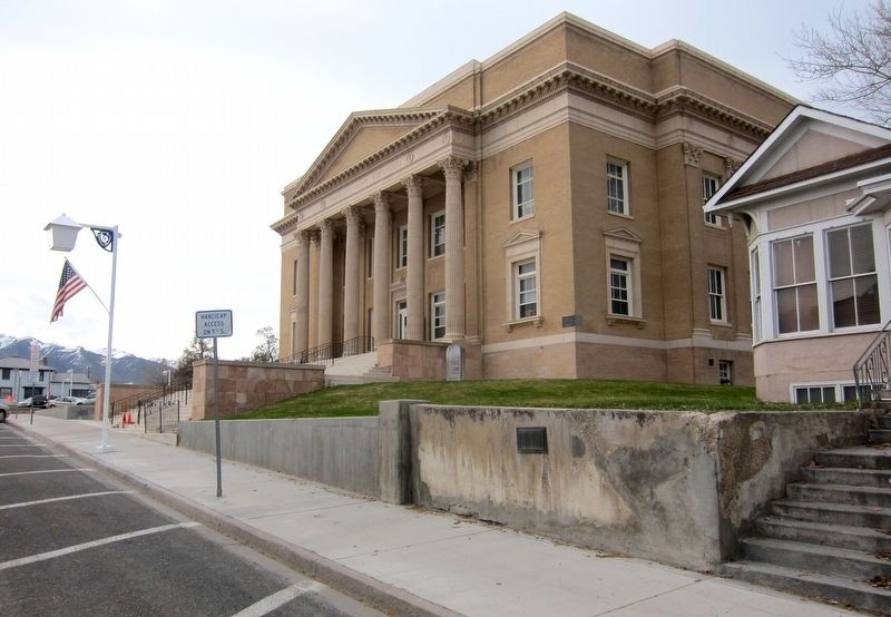
Location. 40° 58.344′ N, 117° 44.007′ W. Marker is in Winnemucca, Nevada, in Humboldt County. Marker is on South Bridge Street south of West Fifth Street. Touch for map. Marker is at or near this postal address: 445 South Bridge Street, Winnemucca NV 89445, United States of America. Touch for directions.
Other nearby markers. At least 8 other markers are within walking distance of this marker. Great Black Stone (a few steps from this marker); Winnemucca World War I American Legion Honor Roll (within shouting distance of this marker); Butch Cassidy's Wild Bunch Bank Robbery (within shouting distance of this marker); Site of school house (about 400 feet away, measured in a direct line); Winnemucca to the Sea Highway (about 700 feet away); California Trail - Trading Post (about 700 feet away); Winneva Building (approx. ¼ mile away); Pioneer Memorial Park (approx. 0.6 miles away). Touch for a list and map of all markers in Winnemucca.
Related marker. Click here for another marker that is related to this marker. ...the nearby Nevada State Historical Marker for more details on the Humboldt Canal.
Also see . . . Humboldt Canal Map (Humboldt Museum). The Humboldt Canal scheme was designed in 1862 to take water from the Humboldt River for use in generating power for mining and to irrigate land along the canal, but the water disappeared in the sandy soil at Rose Creek Pass. It was to have terminated in Mill City. The project drove much of Winnemucca's early growth. (Submitted on September 25, 2016.)
Credits. This page was last revised on November 27, 2020. It was originally submitted on September 25, 2016, by Andrew Ruppenstein of Lamorinda, California. This page has been viewed 348 times since then and 19 times this year. Photos: 1, 2. submitted on September 25, 2016, by Andrew Ruppenstein of Lamorinda, California.

