Rich Resources
Captain John Smith Chesapeake National Historic Trail
— National Park Service, U.S. Department of the Interior —
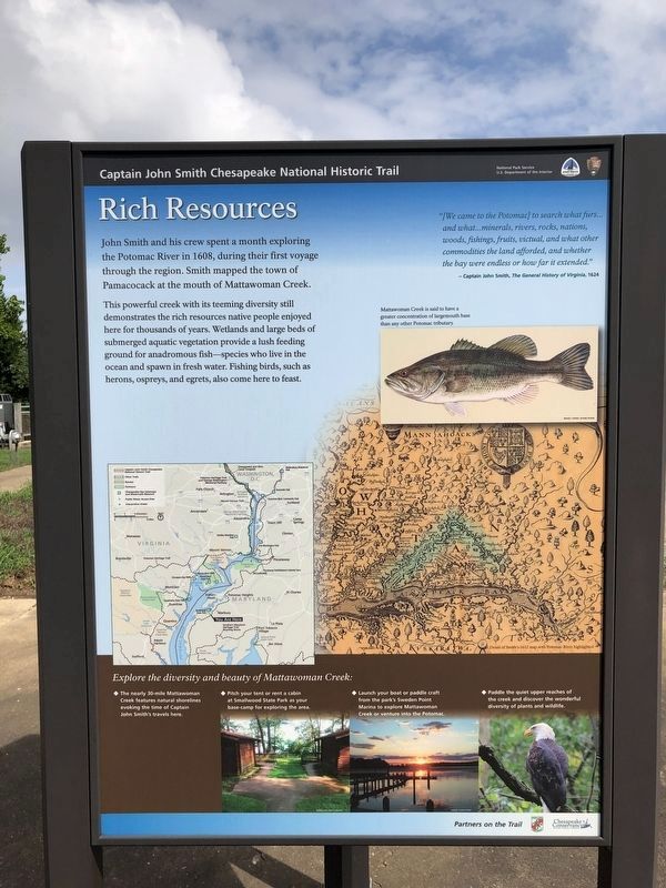
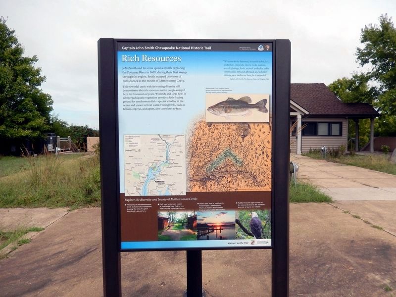
This powerful creek with its teeming diversity still demonstrates the rich resources native people enjoyed here for thousands of year. Wetlands and large beds of submerged aquatic vegetation provide a lush feeding ground for anadromous fish—species who live in the ocean and spawn in fresh water. Fishing birds, such as herons, ospreys, and egrets, also come here to feast.
“(We came to the Potomac) to search what furs…and what…minerals, rivers, rocks, nations, woods, fishings, fruits, victual, and what other commodities the land afforded, and whether the bay were endless or how far it extended.”
Captain John Smith, The General History of Virginia, 1624.
(Inscription above the image on the right)
Mattawoman Creek is said to have a greater concentration of largemouth bass than any other Potomac tributary.
Explore the diversity and beauty of Mattawoman Creek:
*The nearly 30-mile Mattawoman Creek features natural shorelines evoking the time of Captain John Smith’s travels here.
*Pitch your tent or rent a cabin as Smallwood State Park as your base-camp for exploring the area.
*Launch
*Paddle the quiet upper reaches of the creek and discover the wonderful diversity of plants and wildlife.
Erected by National Park Service, U.S. Department of the Interior.
Topics and series. This historical marker is listed in these topic lists: Colonial Era • Exploration • Settlements & Settlers. In addition, it is included in the Captain John Smith Chesapeake National Historic Trail series list. A significant historical year for this entry is 1608.
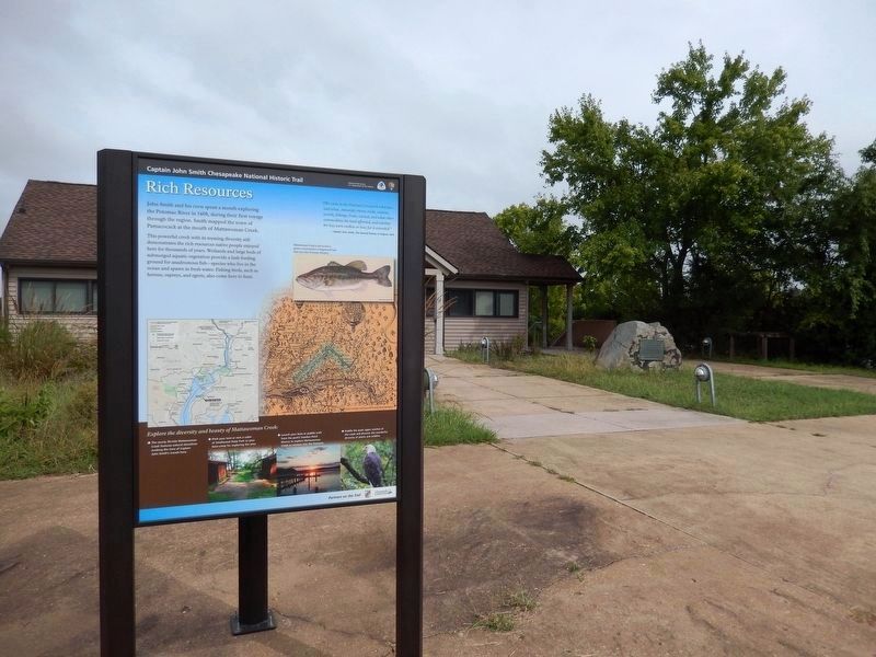
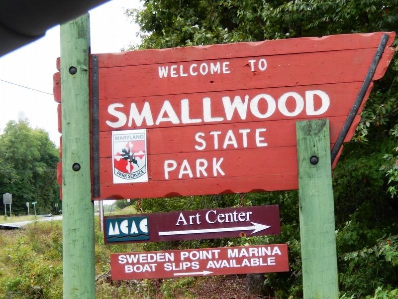
Location. 38° 33.526′ N, 77° 11.102′ W. Marker is near Rison, Maryland, in Charles County. Marker is on Sweden Point Road. The marker is located near the Discovery Room building in Smallwood State Park. Touch for map. Marker is at or near this postal address: 2750 Sweden Point Road, Marbury MD 20658, United States of America. Touch for directions.
Other nearby markers. At least 8 other markers are within 3 miles of this marker, measured as the crow flies. John Smith Explores the Chesapeake (here, next to this marker); Join the Adventure (here, next to this marker); Christian Temple Manor (a few steps from this marker); Explore your Chesapeake (approx. 0.2 miles away); General Smallwood's Gravesite (approx. 0.6 miles away); Smallwood's Home (approx. 0.7 miles away); Rum Point (approx. 1.7 miles away); General Joseph Hooker U.S.A. (approx. 2.6 miles away). Touch for a list and map of all markers in Rison.
Credits. This page was last revised on August 14, 2020. It was originally submitted on September 26, 2016, by Don Morfe of Baltimore, Maryland. This page has been viewed 395 times since then and 12 times this year. Photos: 1. submitted on August 14, 2020, by Devry Becker Jones of Washington, District of Columbia. 2, 3, 4. submitted on September 26, 2016, by Don Morfe of Baltimore, Maryland. • Bill Pfingsten was the editor who published this page.


