Near Elberon in Surry County, Virginia — The American South (Mid-Atlantic)
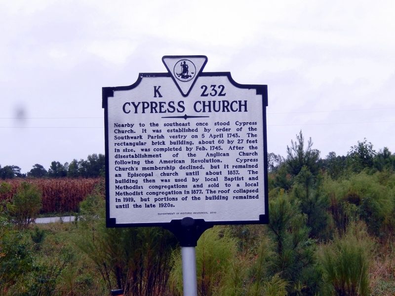
Cypress Church
Erected 2010 by Department of Historic Resources.
Topics. This historical marker is listed in these topic lists: Churches & Religion • Colonial Era • Settlements & Settlers. A significant historical date for this entry is April 5, 1743.
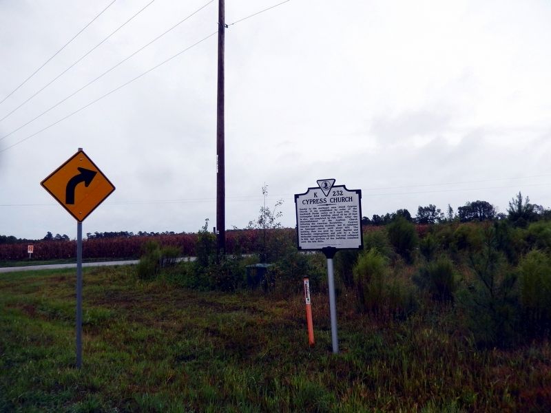
Location. 37° 3.466′ N, 76° 54.334′ W. Marker is near Elberon, Virginia, in Surry County. Marker is at the intersection of Rolfe Highway (Virginia Route 31) and Sexton Road (Virginia Route 618), on the right when traveling north on Rolfe Highway. Touch for map. Marker is in this post office area: Elberon VA 23846, United States of America. Touch for directions.
Other nearby markers. At least 8 other markers are within 7 miles of this marker, measured as the crow flies. Surry, Sussex & Southampton Railway (approx. 1.6 miles away); Surry Lumber Company (approx. 1.6 miles away); Southwark Parish Churches (approx. 5.3 miles away); Pace’s Paines (approx. 5.4 miles away); English Settlement on Gray’s Creek (approx. 5.4 miles away); Glebe House of Southwark Parish (approx. 5.4 miles away); Organization of the Christian Church (approx. 5.7 miles away); Carsley United Methodist Church (approx. 6.2 miles away).
Credits. This page was last revised on September 27, 2016. It was originally submitted on September 27, 2016, by Don Morfe of Baltimore, Maryland. This page has been viewed 466 times since then and 27 times this year. Photos: 1, 2. submitted on September 27, 2016, by Don Morfe of Baltimore, Maryland. • Bernard Fisher was the editor who published this page.

