Smithfield in Isle of Wight County, Virginia — The American South (Mid-Atlantic)
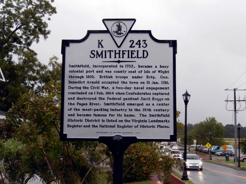
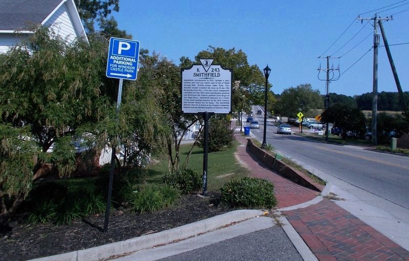
Smithfield
Erected 2014 by Department of Historic Resources. (Marker Number K-243.)
Topics and series. This historical marker is listed in these topic lists: Colonial Era • Industry & Commerce • War, US Civil • War, US Revolutionary. In addition, it is included in the Virginia Department of Historic Resources (DHR) series list. A significant historical date for this entry is January 15, 1781.
Location. 36° 58.932′ N, 76° 37.473′ W. Marker is in Smithfield, Virginia, in Isle of Wight County. Marker is on South Church Street (Virginia Route 10) 0.2 miles east of Jericho Road, on the left when traveling east. Touch for map. Marker is in this post office area: Smithfield VA 23430, United States of America. Touch for directions.
Other nearby markers. At least 8 other markers are within walking distance of this marker. Kitchen and Laundry (approx. ¼ mile away); Smokehouse (approx. ¼ mile away); Welcome to Windsor Castle Park (approx. ¼ mile away); Farm Manager's Office (approx. 0.3 miles away); The Todd House & the First Smithfield Ham (approx. 0.3 miles away); Founding Site of Smithfield Packing Company (approx. 0.4 miles away); Bricks in the Crosswalk (approx. 0.4 miles away); Ivy Hill Cemetery (approx. 0.4 miles away). Touch for a list and map of all markers in Smithfield.
More about this marker. Revision, September 30, 2020: Historical markers erected in the State of Virginia are not engraved in stone. They are subject to changes in number, title, inscription, erecting agency, and/or date. This marker, the “new” K-243 Smithfield, is one example of such.
Installed as a replacement for the now “former” K-243 Smithfield (dbm 2676), this marker and its namesake share a history that hearkens back to the early 1900’s. In circa 1930, marker number K-243 had the title, Historic Smithfield and a few succinctly inscribed historical facts when the State Conservation and Development Commission erected it. In 1941, the title was changed to Smithfield by the Virginia Conservation Commission. The inscription remained the same. And this second marker was probably the physical namesake removed by the Department of Historic Resources (DHR), presumably in 2014.
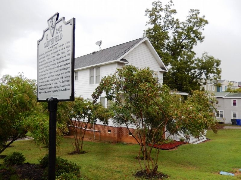
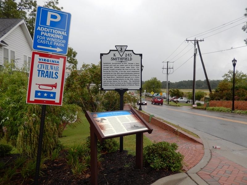
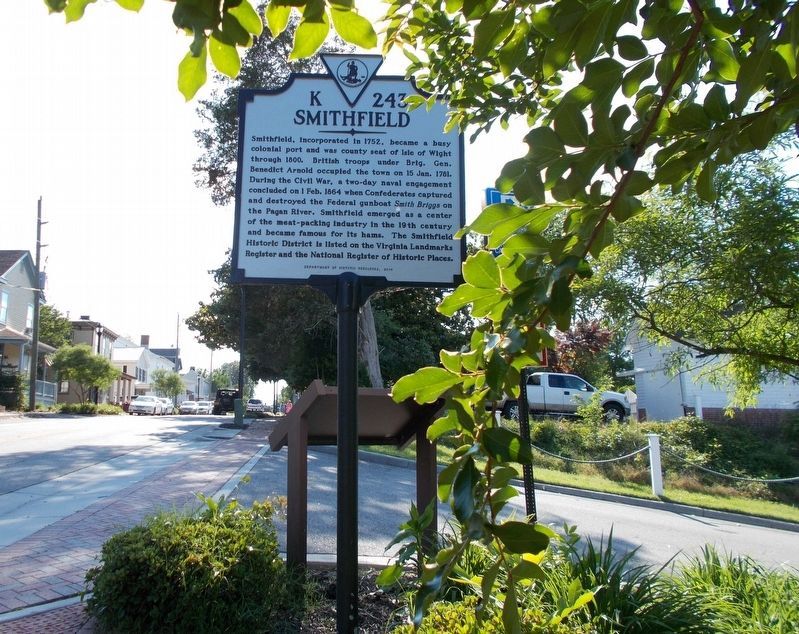
“New” K-243 has no readily accessible documentation of its erection date. DHR inscribes its markers with the year of approval, which is not necessarily the same, in some instances, as the erection year. A photo taken on September 20, 2016 by Don Morfe documents the marker’s existence, standing behind Battle of Smithfield. Three years later, on May 16, 2019, its reverse side was captured on film (Exhibit A). Then on September 23, 2020, when the Battle of Smithfield marker was noted as missing, it was photographed yet again (Exhibit B).
A 21st century historical marker, the “new” K-243, does indeed reflect change. It communicates more information than the predecessors from which it evolved. Yet its modern interpretation seems to lack that je ne sais quoi of the original 20th century ones. (by Cynthia L. Clark)
Also see . . . Old Marker near this Location. This marker replaced an older one near this location also titled “Smithfield". (Submitted on October 2, 2020.)
Credits. This page was last revised on October 2, 2020. It was originally submitted on September 28, 2016, by Don Morfe of Baltimore, Maryland. This page has been viewed 671 times since then and 70 times this year. Last updated on September 30, 2020, by Cynthia L. Clark of Suffolk, Virginia. Photos: 1, 2, 3. submitted on September 28, 2016, by Don Morfe of Baltimore, Maryland. 4, 5. submitted on September 30, 2020, by Cynthia L. Clark of Suffolk, Virginia. 6. submitted on September 28, 2016, by Don Morfe of Baltimore, Maryland. • Bernard Fisher was the editor who published this page.
