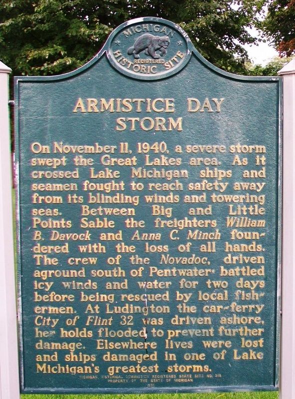
Armistice Day Storm
On November 11, 1940, a severe storm swept the Great Lakes area. As it crossed Lake Michigan ships and seamen fought to reach safety away from its blinding winds and towering seas. Between Big and Little Points Sable the freighters William B. Davock and Anna C. Minch foundered with the loss of all hands. The crew of the Novadoc, driven aground south of Pentwater battled icy winds and water for two days before being rescued by local fishermen. At Ludington the car-ferry City of Flint 32 was driven ashore, her holds flooded to prevent further damage. Elsewhere lives were lost and ships damaged in one of Lake Michigan's greatest storms.
Erected 1971 by Michigan Historical Commission. (Marker Number S0318.)
Topics and series. This historical marker is listed in these topic lists: Disasters • Waterways & Vessels. In addition, it is included in the Lost at Sea, and the Michigan Historical Commission series lists. A significant historical date for this entry is November 11, 1940.
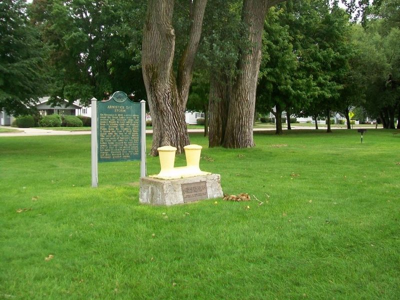
Location. 43° 57.496′ N, 86° 27.582′ W. Marker is in Ludington, Michigan, in Mason County. Marker is on Lakeshore Drive (State Highway 116) north of Pere Marquette Street, on the left when traveling north. Touch for map. Marker is at or near this postal address: Stearns Park, Ludington MI 49431, United States of America. Touch for directions.
Other nearby markers.
Also see . . .
1. Armistice Day Storm: November 11, 1940. (Submitted on October 1, 2016, by William Fischer, Jr. of Scranton, Pennsylvania.)
2. The Armistice Day Storm: November 11, 1940. (Submitted on October 1, 2016, by William Fischer, Jr. of Scranton, Pennsylvania.)
Credits. This page was last revised on October 1, 2016. It was originally submitted on October 1, 2016, by William Fischer, Jr. of Scranton, Pennsylvania. This page has been viewed 380 times since then and 18 times this year. Photos: 1, 2. submitted on October 1, 2016, by William Fischer, Jr. of Scranton, Pennsylvania.

