Fort Bliss in El Paso County, Texas — The American South (West South Central)
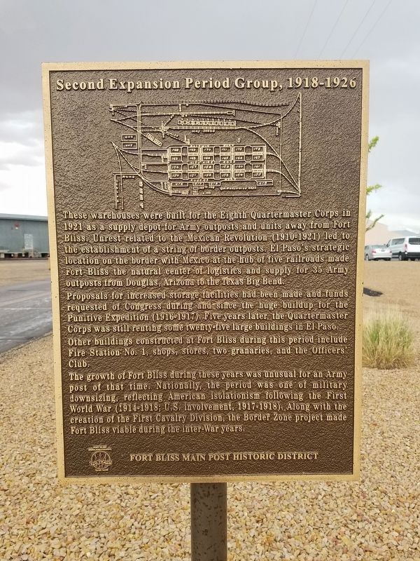
Second Expansion Period Group
1918-1926
— Fort Bliss Main Post Historic District —
Proposals for increased storage facilities had been made and funds requested of Congress during and since the huge buildup for the Punitive Expedition (1916-1917). Five years later, the Quartermaster Corps was still renting some twenty-five large buildings in El Paso.
Other buildings constructed at Fort Bliss during this period include Fire Station No. 1, shops, stores, two granaries, and the Officers' Club.
The growth of Fort Bliss during these years was unusual for an Army post of that time. Nationally, the period was one of military downsizing, reflecting American isolationism following the First World WAr (1914-1918; U.S. involvement, 1917-1918). Along with the creation of the First Cavalry Division, the Border Zone project made Fort Bliss viable during the inter-War years.
Erected 1998.
Topics. This historical marker is listed in this topic list: War, Mexican-American. A significant historical year for this entry is 1921.
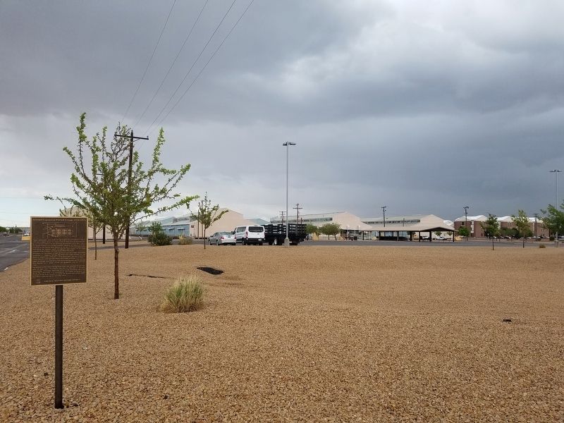
Location. 31° 48.834′ N, 106° 25.841′ W. Marker is in Fort Bliss, Texas, in El Paso County. Marker is on Marshall Road, on the right when traveling north. Touch for map. Marker is in this post office area: Fort Bliss TX 79916, United States of America. Touch for directions.
Other nearby markers. At least 8 other markers are within walking distance of this marker. Building 1355 (within shouting distance of this marker); Building 1372 (about 500 feet away, measured in a direct line); First Expansion Period (approx. 0.4 miles away); Initial Construction Period (approx. 0.4 miles away); Historical Building 241 - The Guardhouse, 1893 (approx. 0.4 miles away); Quarters 236 Sheridan (approx. half a mile away); Joshua Micah Mills (approx. half a mile away); Colonel George Ruhlen (approx. half a mile away). Touch for a list and map of all markers in Fort Bliss.
Credits. This page was last revised on October 4, 2016. It was originally submitted on October 4, 2016, by Kevin W. of Stafford, Virginia. This page has been viewed 324 times since then and 10 times this year. Photos: 1, 2. submitted on October 4, 2016, by Kevin W. of Stafford, Virginia.

