Strawn in Palo Pinto County, Texas — The American South (West South Central)
Mount Marion Cemetery
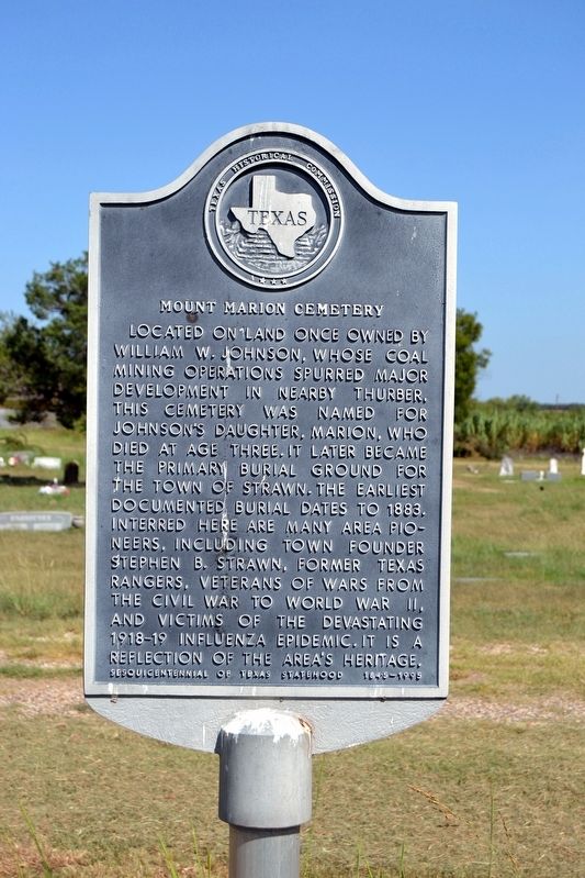
Located on land once owned by William W. Johnson, whose coal mining operations spurred major development in nearby Thurber, this cemetery was named for Johnson’s daughter, Marion, who died at age three. It later became the primary burial ground for the town of Strawn. The earliest documented burial dates to 1883. Interred here are many area pioneers, including town founder Stephen B. Strawn, former Texas Rangers, veterans of wars from the Civil War to World War II, and victims of the devastating 1918-19 influenza epidemic. It is a reflection of the area’s heritage.
Erected 1995 by Texas Historical Commission. (Marker Number 3494.)
Topics. This historical marker is listed in this topic list: Cemeteries & Burial Sites. A significant historical year for this entry is 1883.
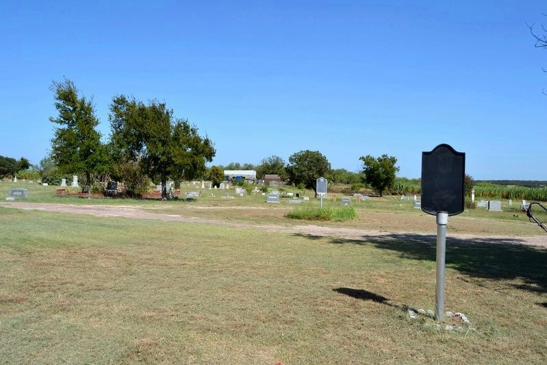
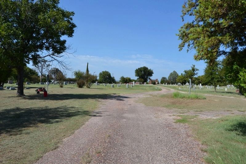
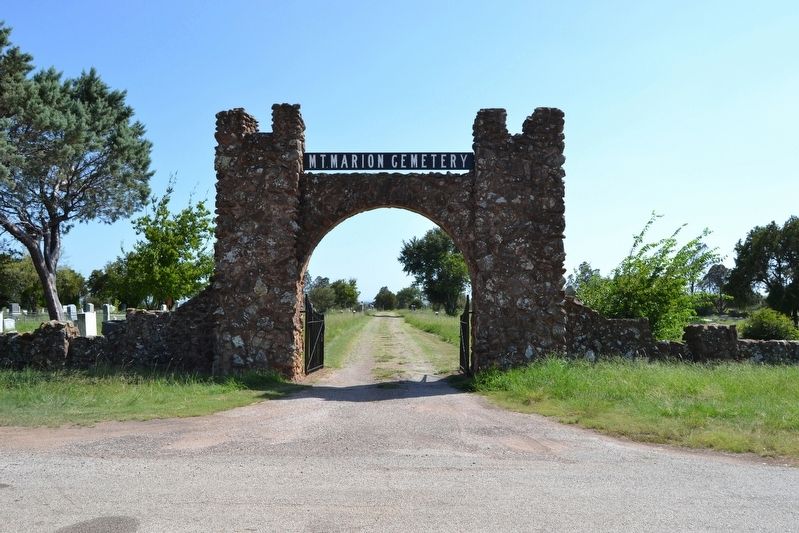
Location. 32° 32.456′ N, 98° 29.893′ W. Marker is in Strawn, Texas, in Palo Pinto County. Marker can be reached from Grant Avenue (State Highway 16) 0.1 miles south of Willow Street, on the left when traveling south. Marker is located in Mount Marion Cemetery; the above directions are to the Grant Avenue (SH 16) entrance to the cemetery. Touch for map. Marker is in this post office area: Strawn TX 76475, United States of America. Touch for directions.
Other nearby markers. At least 8 other markers are within 5 miles of this marker, measured as the crow flies. Mary Jane Gentry (a few steps from this marker); Strawn City Hall (approx. 0.8 miles away); Strawn (approx. 0.8 miles away); Bethel Strawn, C.S.A. (approx. 0.8 miles away); Thomas House (approx. 1.2 miles away); Joseph Peter Davidson (approx. 2.7 miles away); Mingus Baptist Church (approx. 4.4 miles away); Thurber Junction and the T&P Railroad Presence (approx. 4.4 miles away). Touch for a list and map of all markers in Strawn.
Credits. This page was last revised on October 11, 2023. It was originally submitted on October 4, 2016, by Duane Hall of Abilene, Texas. This page has been viewed 492 times since then and 61 times this year. Photos: 1, 2, 3, 4. submitted on October 4, 2016, by Duane Hall of Abilene, Texas.


