Morgan City in St. Mary Parish, Louisiana — The American South (West South Central)
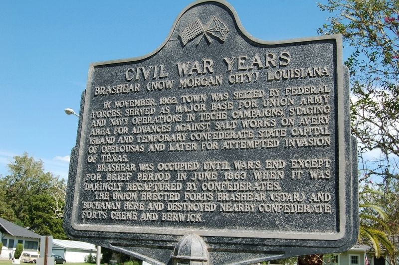
Civil War Years
Brashear (Now Morgan City) Louisiana
Brashear was occupied until war's end except for brief period in June 1863 when it was daringly recaptured by Confederates.
The Union erected Forts Brashear (Star) and Buchanan here and destroyed nearby Confederate Forts Chene and Berwick.
Topics. This historical marker is listed in these topic lists: Forts and Castles • War, US Civil. A significant historical month for this entry is November 1862.
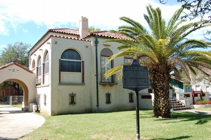
Location. 29° 41.714′ N, 91° 12.318′ W. Marker is in Morgan City, Louisiana, in St. Mary Parish. Marker is on Federal Avenue near Duke Street, on the right when traveling south. Located in front of the Morgan City Archives building. Touch for map. Marker is at or near this postal address: 501 Federal Avenue, Morgan City LA 70380, United States of America. Touch for directions.
Other nearby markers. At least 8 other markers are within walking distance of this marker. Sacred Heart Of Jesus Church (about 600 feet away, measured in a direct line); The Governor Jared Young Sanders Memorial Monument (about 600 feet away); Charles Morgan (approx. 0.2 miles away); Mount Pilgrim Baptist Church (approx. ¼ mile away); Fort Star (approx. ¼ mile away); Atchafalaya River (approx. 0.3 miles away); Morgan City Floodwalls (approx. 0.3 miles away); First Offshore Oil Well (approx. 0.4 miles away). Touch for a list and map of all markers in Morgan City.
Credits. This page was last revised on November 23, 2023. It was originally submitted on October 5, 2016. This page has been viewed 648 times since then and 44 times this year. Photos: 1, 2. submitted on October 5, 2016. • Bernard Fisher was the editor who published this page.

