Strawn in Palo Pinto County, Texas — The American South (West South Central)
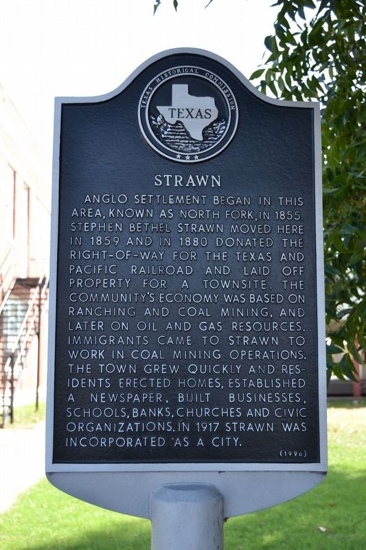
Strawn
Erected 1996 by Texas Historical Commission. (Marker Number 15491.)
Topics. This historical marker is listed in this topic list: Settlements & Settlers. A significant historical year for this entry is 1855.
Location. 32° 33.13′ N, 98° 29.833′ W. Marker is in Strawn, Texas, in Palo Pinto County. Marker is at the intersection of Housley Street (State Highway 108) and Houston Ave, on the right when traveling east on Housley Street. Touch for map. Marker is at or near this postal address: 118 Housley St, Strawn TX 76475, United States of America. Touch for directions.
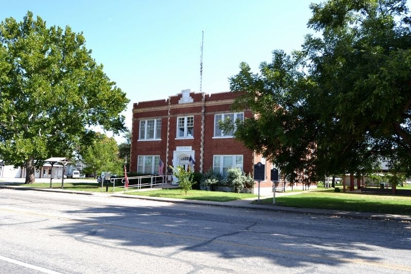
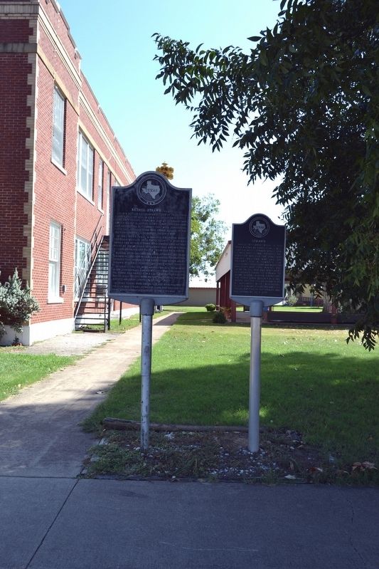
Other nearby markers. At least 8 other markers are within 5 miles of this marker, measured as the crow flies. Bethel Strawn, C.S.A. (here, next to this marker); Strawn City Hall (a few steps from this marker); Thomas House (approx. 0.4 miles away); Mount Marion Cemetery (approx. 0.8 miles away); Mary Jane Gentry (approx. 0.8 miles away); Joseph Peter Davidson (approx. 2.8 miles away); Mingus Baptist Church (approx. 4.3 miles away); Thurber Junction and the T&P Railroad Presence (approx. 4.4 miles away). Touch for a list and map of all markers in Strawn.
Also see . . . Strawn, TX. From the Texas State Historical Association’s “Handbook of Texas Online”. (Submitted on October 6, 2016.)
Credits. This page was last revised on October 6, 2016. It was originally submitted on October 6, 2016, by Duane Hall of Abilene, Texas. This page has been viewed 534 times since then and 52 times this year. Photos: 1, 2, 3. submitted on October 6, 2016, by Duane Hall of Abilene, Texas.


