Friendswood in Galveston County, Texas — The American South (West South Central)
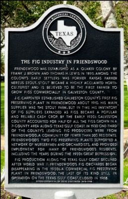
The Fig Industry In Friendswood
J.C. Carpenter established Galveston County's first fig preserving plant in Friendswood about 1910. His main supplier was the Stout farm, but in time his inventory of fig suppliers expanded as figs became a popular and reliable cash crop. By the early 1920s Galveston County accounted for half of all the figs grown in a 7-county area along Texas' Gulf Coast. In 1930 one-third of the county's leading fig producers were from Friendswood, a community of fewer than 300 residents. Friendswood's two fig preserving plants supported a network of nurserymen and orchardists, and provided employment for many of Friendswood's residents, including the years during the 1930s Great Depression.
Fig production along the Texas Gulf Coast declined after World War II; Friendswood's fig orchards began disappearing in the 1950s. A commercial fig preserving plant in Friendswood, the last of its kind still in operation on the Texas Gulf Coast, closed in 1968.
Erected 1994 by Texas Historical Commission. (Marker Number 7437.)
Topics. This historical marker is listed in these topic lists: Agriculture • Horticulture & Forestry. A significant historical year for this entry is 1895.
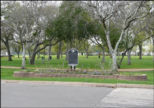
Location. 29° 31.248′ N, 95° 11.48′ W. Marker is in Friendswood, Texas, in Galveston County. Marker is at the intersection of Shadwell Lane and South Friendswood Drive (Texas Highway FM 518), on the right when traveling south on Shadwell Lane. Touch for map. Marker is in this post office area: Friendswood TX 77546, United States of America. Touch for directions.
Other nearby markers. At least 8 other markers are within walking distance of this marker. Main Street Fig Orchards (approx. 0.2 miles away); Friends Church Cemetery (approx. 0.6 miles away); Friendswood (approx. 0.7 miles away); Quaker Academy (approx. ¾ mile away); Oldest Structure Remaining (approx. ¾ mile away); Friendswood Postal Service (approx. ¾ mile away); First Business (approx. 0.8 miles away); Cecil and Frances Brown House (approx. 0.9 miles away). Touch for a list and map of all markers in Friendswood.
Also see . . . From The Handbook of Texas. (Submitted on October 6, 2016, by Jim Evans of Houston, Texas.)
Credits. This page was last revised on October 19, 2021. It was originally submitted on March 1, 2012, by Jim Evans of Houston, Texas. This page has been viewed 1,179 times since then and 68 times this year. Last updated on October 6, 2016, by Jim Evans of Houston, Texas. Photos: 1, 2. submitted on March 1, 2012, by Jim Evans of Houston, Texas. • Bill Pfingsten was the editor who published this page.

